FINAL DESCENT THROUGH THE VAUD ALPS
VIA ALPINA DAY 54 – FRIDAY 14 AUGUST 2026
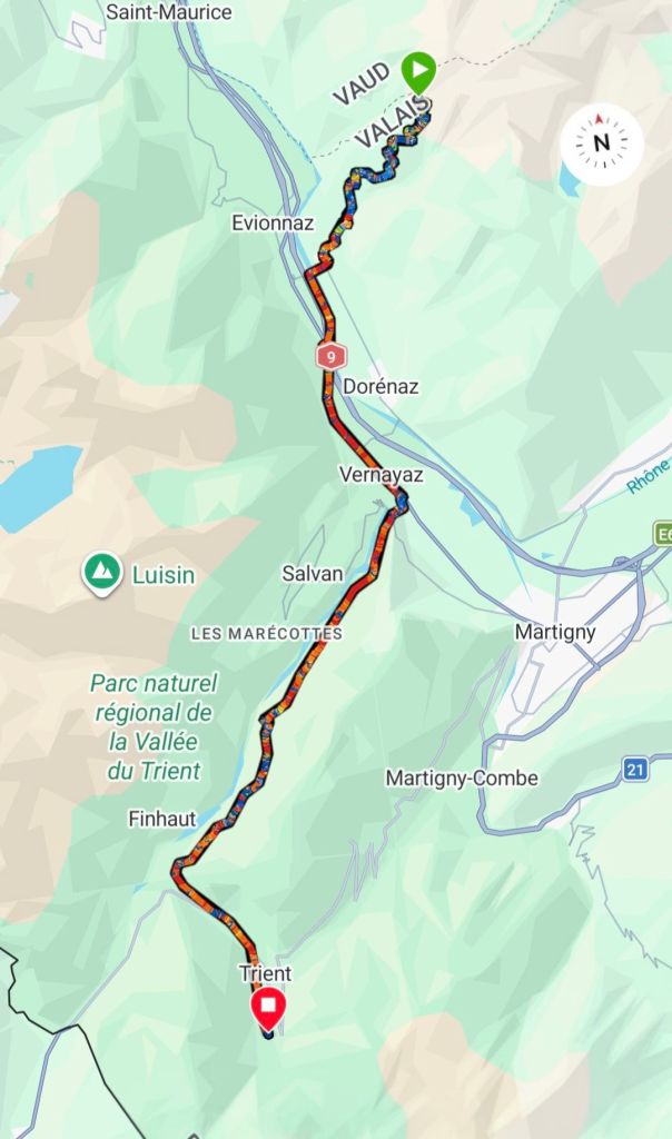
BELOW RIONDA –>TRIENTE
DISTANCE HIKED: 27.80 km
ELEVATION GAIN: 1,110 m
TOTAL DISTANCE HIKED: 1,374.13 km
TOTAL ELEVATION GAIN: 73,436 m
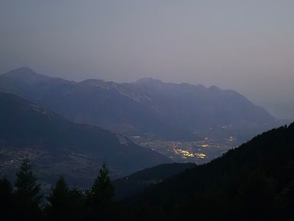
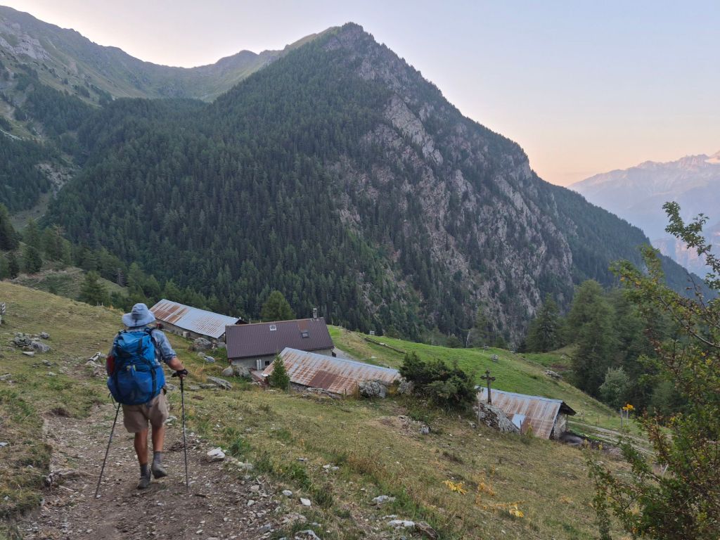
I had my coffee in the morning silence. The town lights were still shining brightly in the valley below as we packed up and headed off for a 1,950-metre descent to the valley.
We were surprised to find that a herd of cows had wandered over from two ridges away and settled just around the corner from where we had camped. There was no tinkling of bells. They were simply sitting there, apparently enjoying the view.
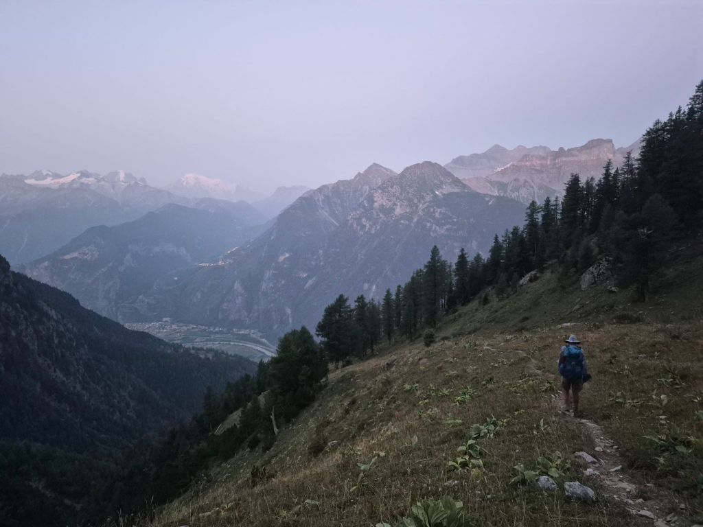
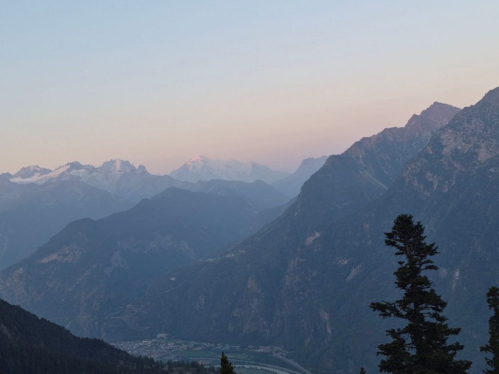
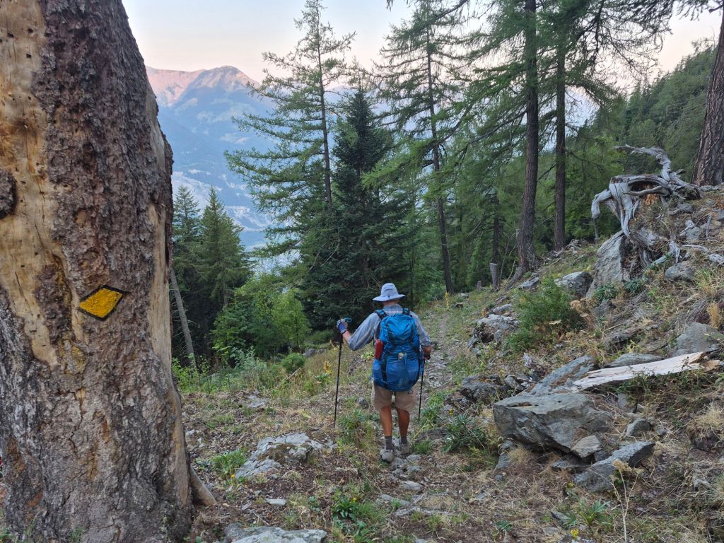
The trail was marked with the familiar red-and-white stripes. In fact, there had been very few distinct trail markings or any signs identifying the Via Alpina route. This has been the case for much of the Vaud Alps, and it is in stark contrast to the excellent trail marking throughout the Swiss sections
It feels as though this section somehow didn’t make the budget.
That might explain both the trail marking and the condition of the trails. The last couple of days in Switzerland have felt neglected. There is certainly a lot that could be done to improve the safety of some of the really sketchy descents.
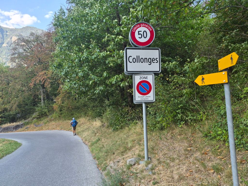
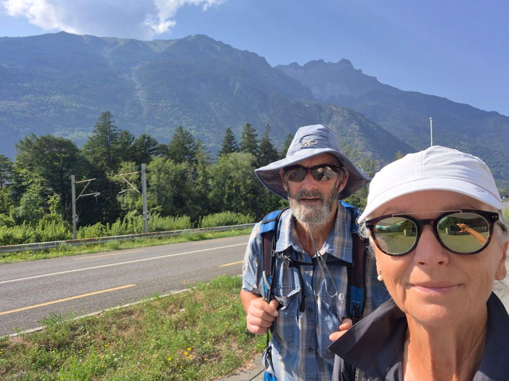
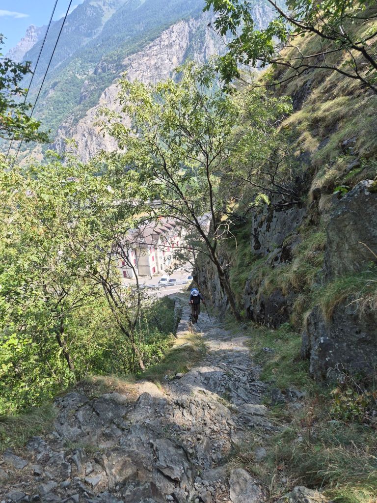
Our descent to Collonges was long and slow. It took us three hours to cover just six kilometres while losing 1,950 metres of elevation. Some sections were steep, with ball-bearing-sized gravel making it difficult to get any traction.
I slipped and fell twice. Hammer’s advice was simple: “Just be more careful.” Being more sure-footed is certainly a skill I could work on.
We were both sweating despite descending, the rising humidity became increasingly noticeable as we dropped towards the valley.
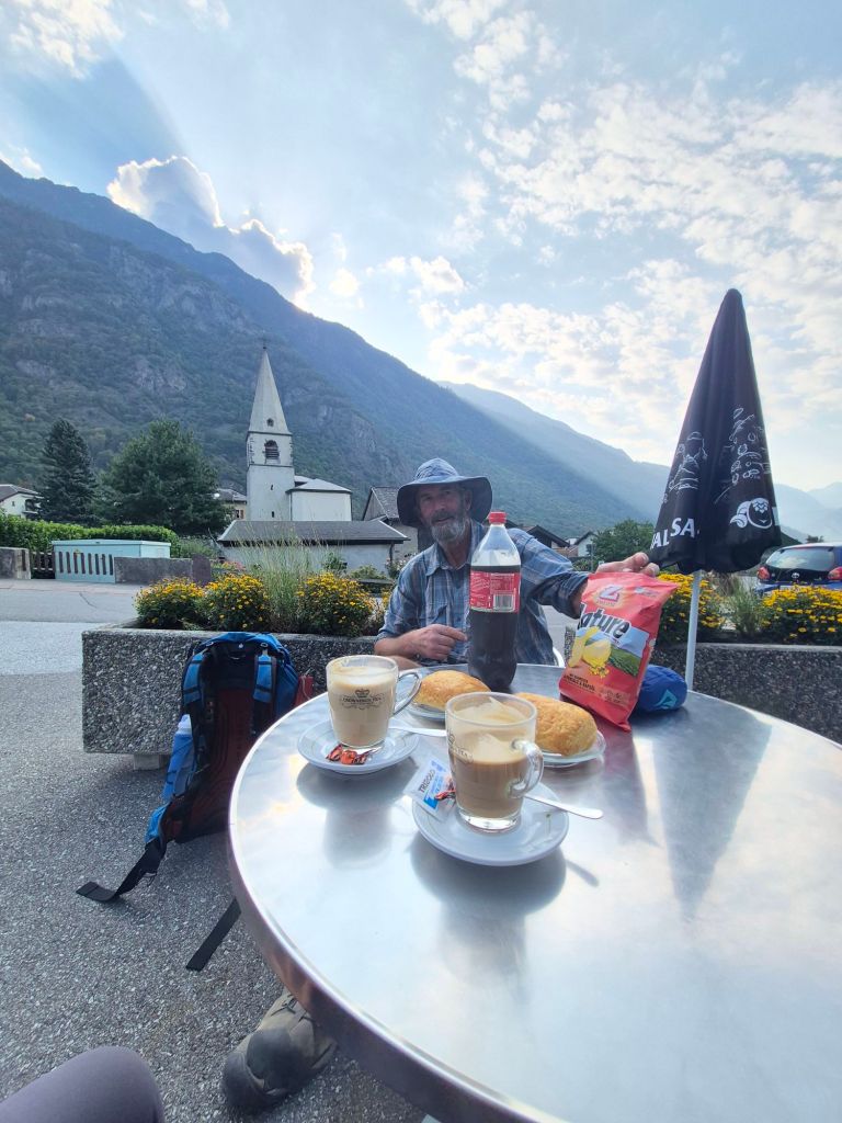
As we passed through the village of Collonges, we spotted a new-looking café and convenience store.
Perfect timing. Coffee for me, Coke for Hammer, and suddenly we were restored. It’s amazing what a small café stop can do for morale. We were happy, refreshed and ready to tackle the next part of the day.
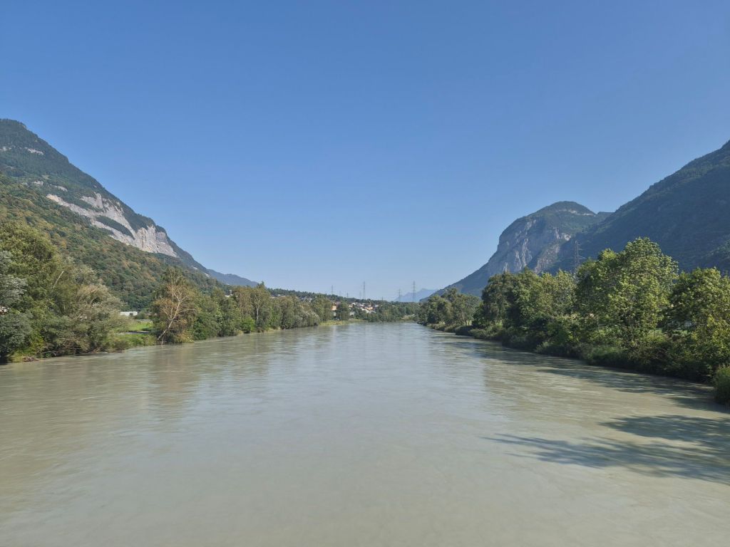
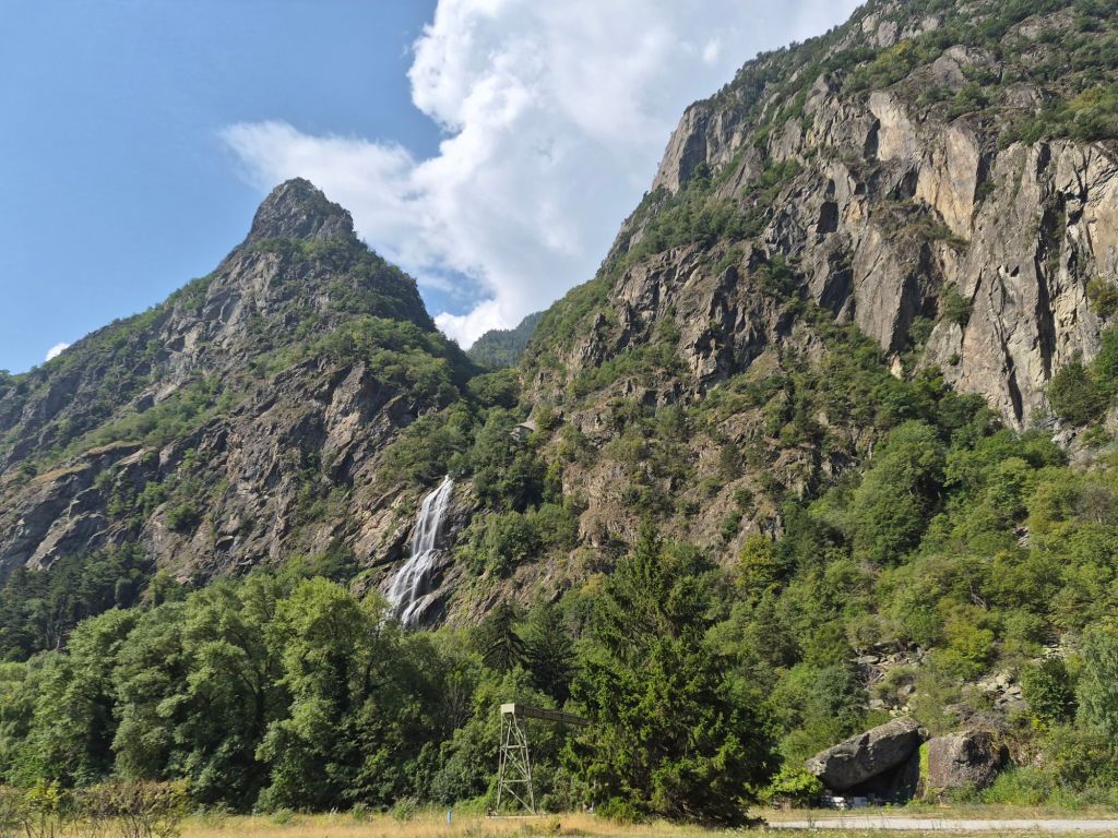
We crossed the silt-laden grey Rhône River and followed a local road towards Vernayaz, passing the Pissevache—“Pissing Cow”—waterfall along the way.
From Vernayaz, the trail climbs towards Trient through the Trient Gorge.
Before setting off, we stopped to buy lunch and, completely unexpectedly, bumped into Mike and Kristy.
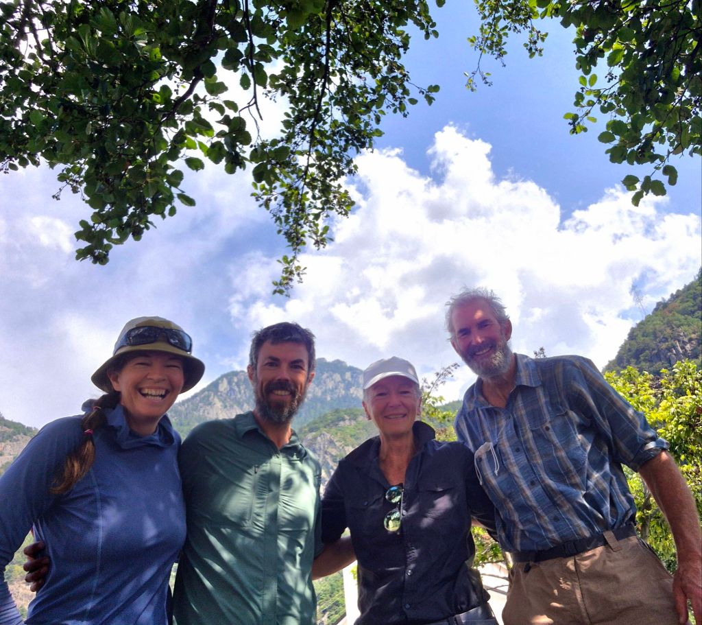
It was so nice to catch up and hear how they were progressing. Their map version of the Via Alpina doesn’t match the current version we are following—so they have a three-day deviation through Switzerland before turning south. There’s a good chance we won’t see them again, which made this unexpected meeting feel even more special.
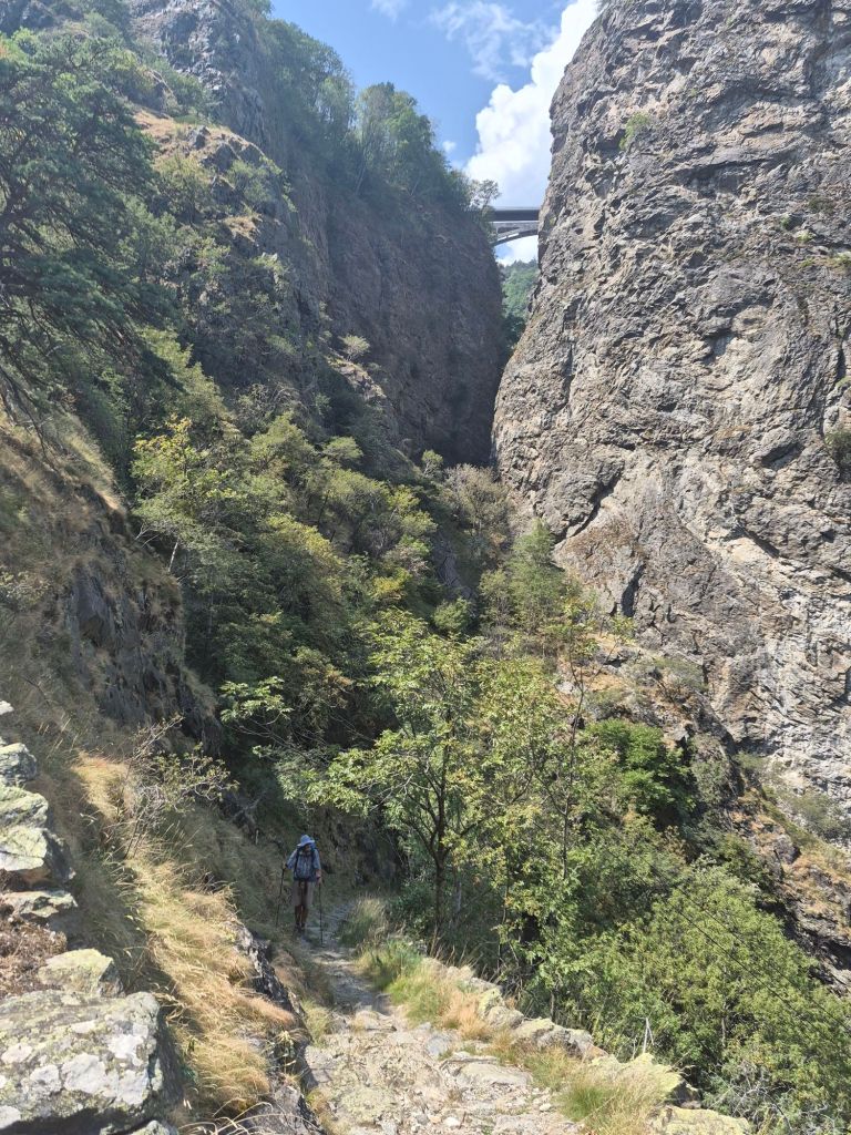
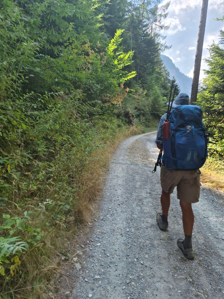
The ascent through the Trient Gorge was steep for the first few kilometres before eventually levelling out. For a while we followed a gravel road, then returned to single track.
The gorge was spectacular. Looking across the valley, it was incredible to see an entire village built along the opposite side, seemingly clinging to the mountainside.
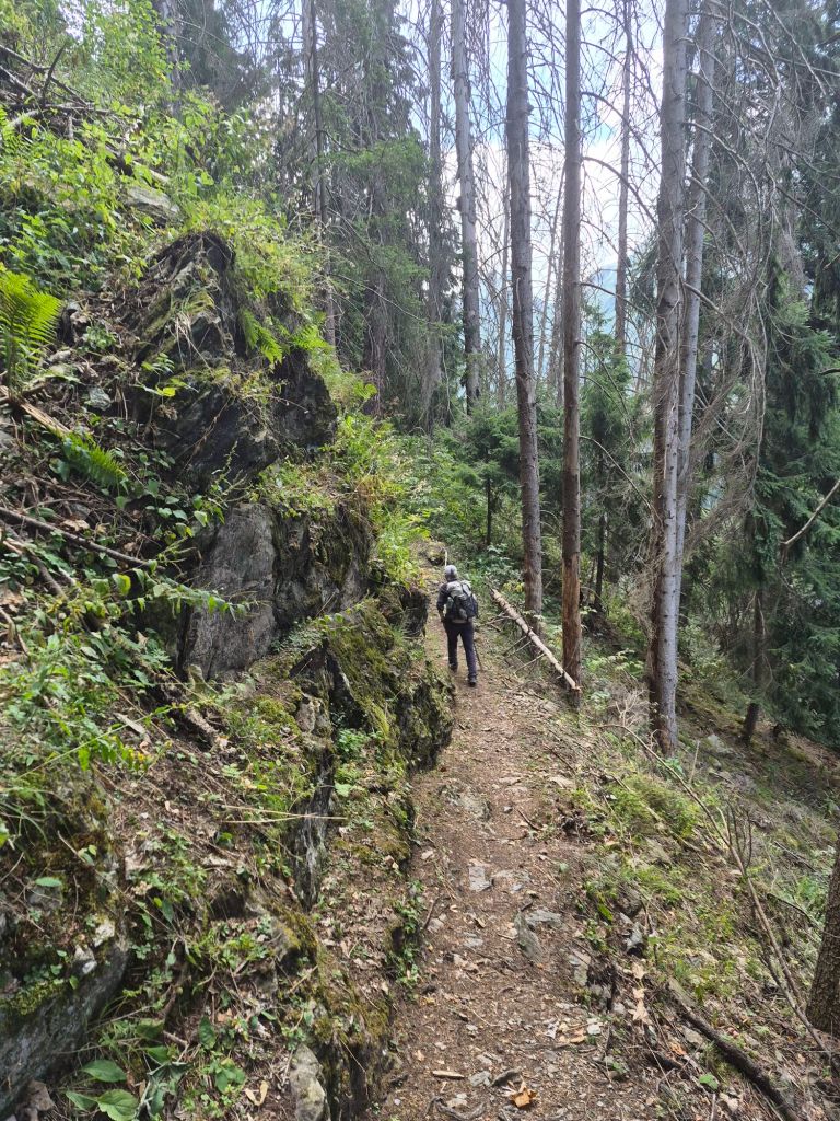
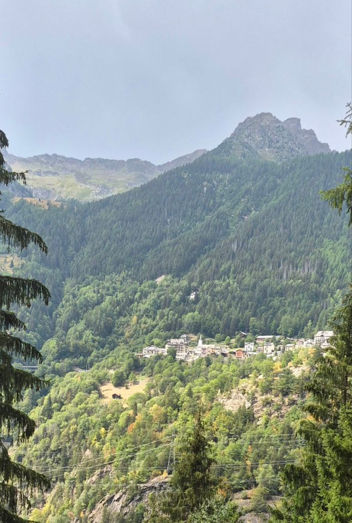
The final approach to Trient followed a river that had a remarkably strong sewage smell. We wondered why.
The explanation became apparent when we arrived in the village. It was a United Nations of hikers. The Albergue and one hotel we passed were packed with hikers. At the campground, hundreds of tents were packed into a small area, with hikers from all over the world converging on this small village.
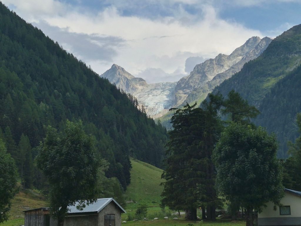
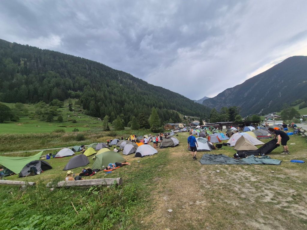
Despite the crowds, we were simply happy to get a permit and find somewhere to put our tent. We had just finished setting up when the rain started. Light at first, then much heavier.
We were very happy to be inside our tent, sheltered from the rain—even if shelter meant sharing a campground with hundreds of other tired hikers.
Tonight could not have been more different to the peacefulness of last night. But that’s all part of the experience.