BACK IN ITALY
NEAR COL DE BRAMOUSSE – BELOW COL DE MARY
VIA ALPINA DAY 66– WEDNESDAY 26 AUGUST 2026
DISTANCE HIKED: 28.75 km
ELEVATION GAIN: 2, 166 m
TOTAL DISTANCE HIKED: 1,698.53 km
TOTAL ELEVATION GAIN: 88, 986m
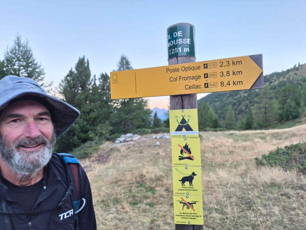
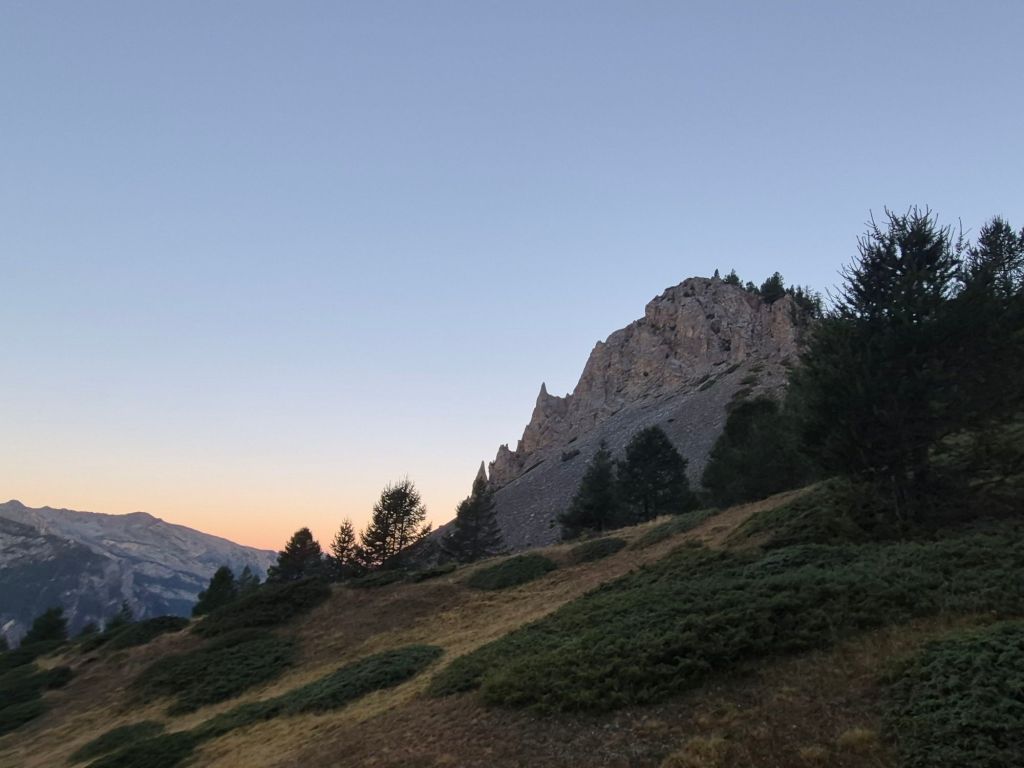
Beautiful birdsong was our soundtrack as we reached the summit of Col de Bamboussa. We had camped 1.5 km below the pass, and reaching the summit this morning in the beautiful pink light of sunrise made me wish we had pushed on last night. There were several great campsites right on the summit, and it was perfectly still—not a breath of wind.
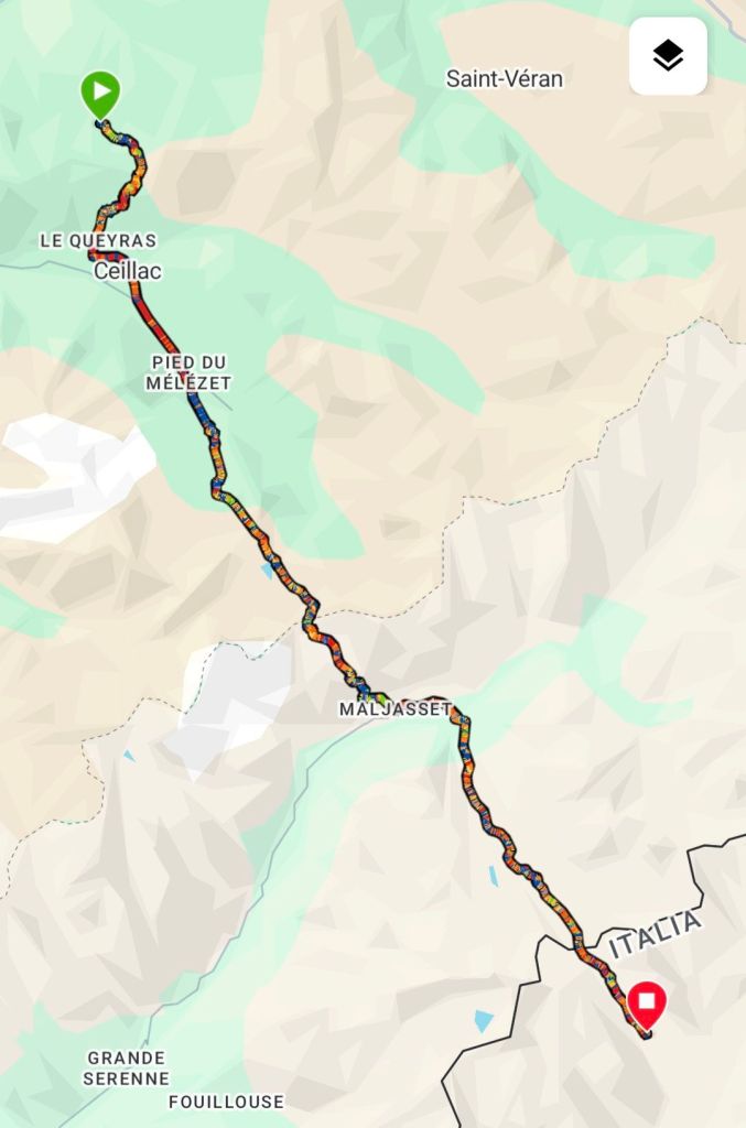
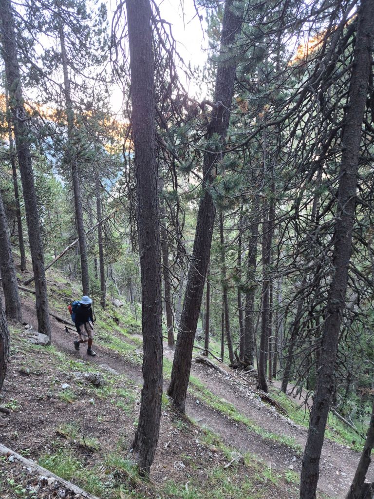
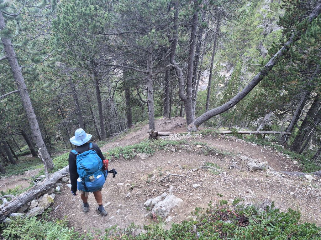
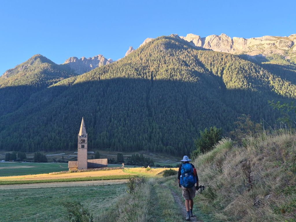
The descent to Ceillac followed countless switchbacks before we finally levelled out and continued down into town. For some reason, it felt like a Sunday. Maybe it was the quietness, or the church bells ringing across the valley.
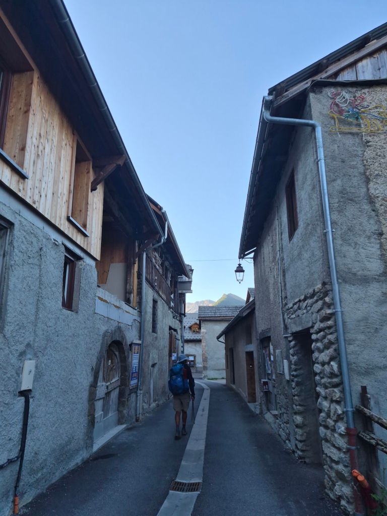
It felt like another milestone to arrive in Ceillac. A cold wind was blowing through the town, and although it was still early, the boulangerie was already busy with hikers and mountain bikers collecting their daily rolls. We joined the queue, getting our rolls and pain au chocolat with coffee, then waited for the convenience store to open at 9am.
There wasn’t much in the small store, but we managed to pick up a few snacks. They should do us for a while.
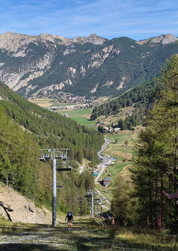
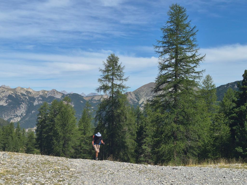
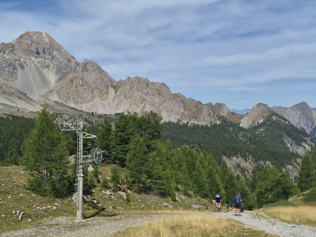
We followed the ski-lift line out of the valley to avoid the crowds of day hikers heading up to the local attraction, Lac Miroir. It was hard, grunt work climbing directly beneath the lift, but we did have great views back over the town below. From the top lift station, we rejoined the trail and still encountered plenty of day hikers heading towards Lac Sainte-Anne.
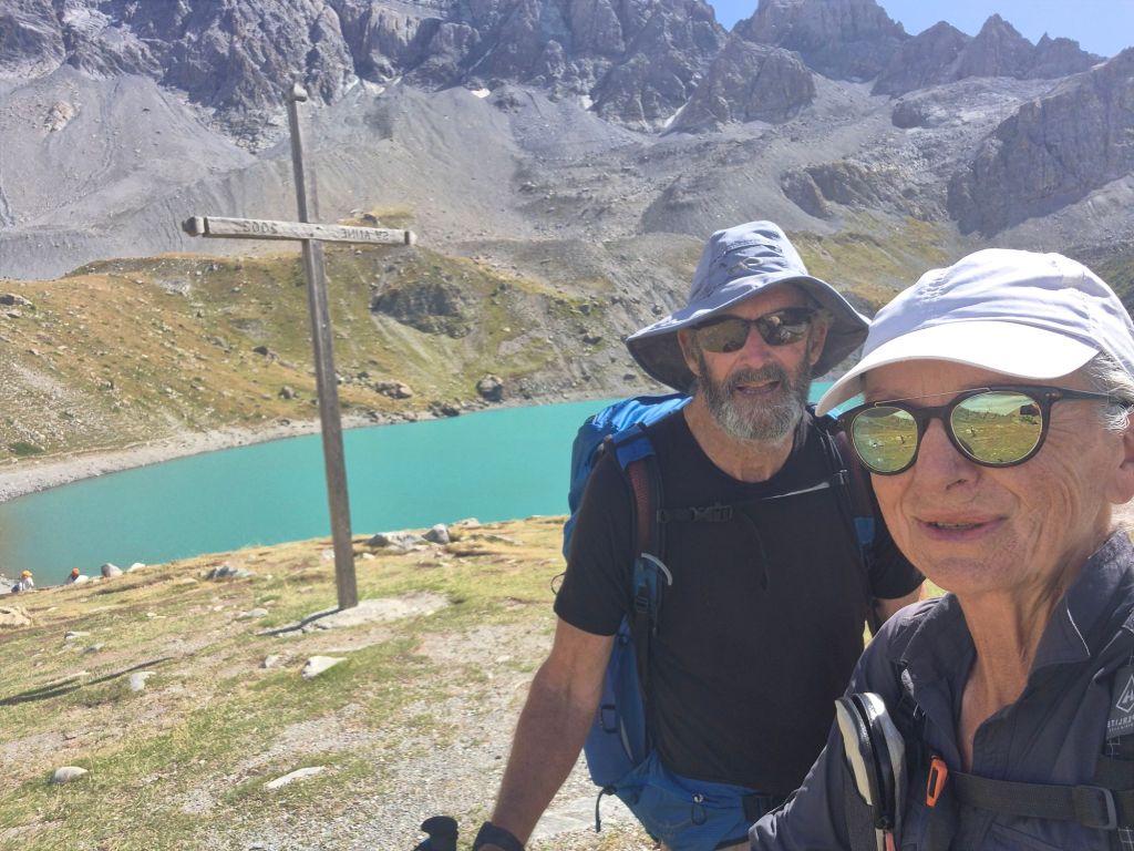
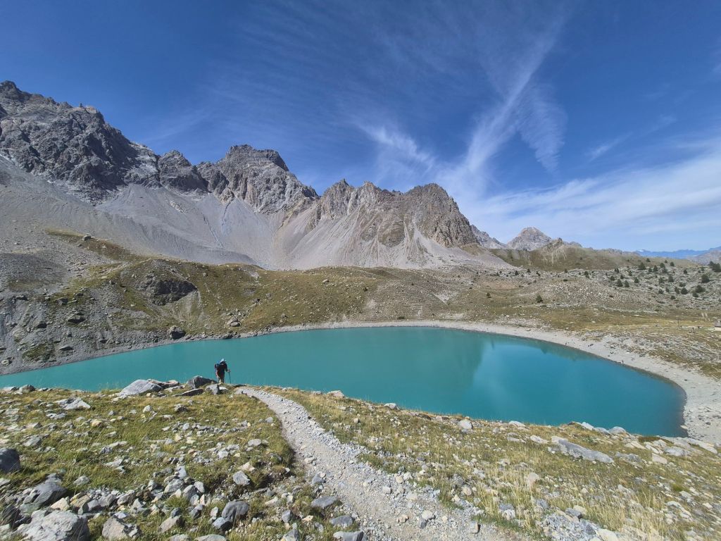
This section was surprisingly steep, and everyone seemed to be struggling. But the lake was worth the grunt work. Lac Sainte-Anne is large and a beautiful milky turquoise colour, sitting grandly beneath a rugged mountain peak. We didn’t stay long, continuing on towards Col de Girardin at 2,699 m.
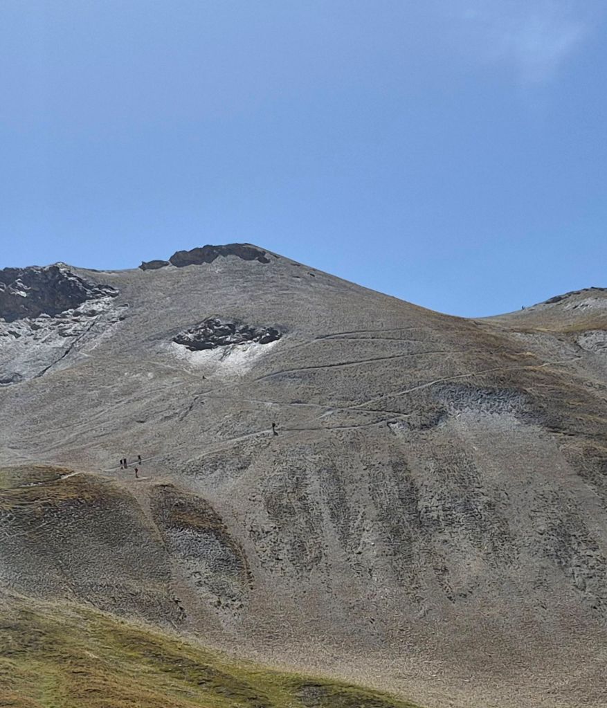
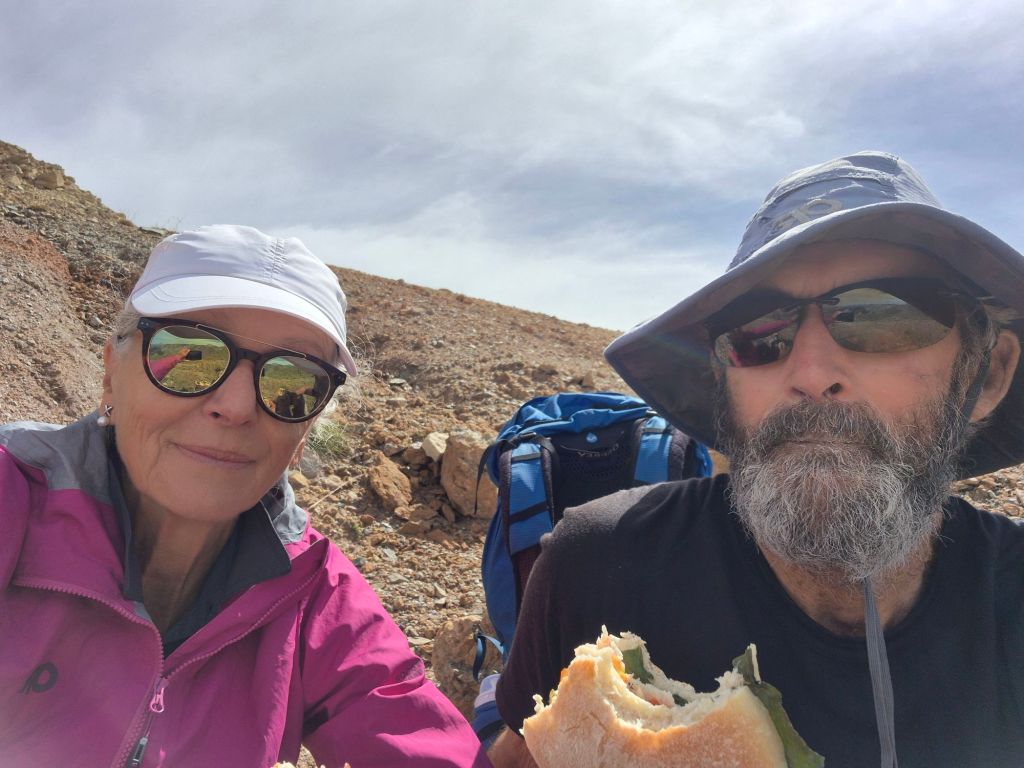
The approach to the Col looked intimidating from a distance—a series of switchbacks carved across loose scree just below the summit. However, the climb was actually quite good. The trail was well made and beautifully graded. We joined a few other hikers on the summit and stopped for lunch. It was cold and windy, so we didn’t linger.
The descent from the pass was a little trickier. Steep sections and loose rocks meant slow progress. The weather seemed to have suddenly changed, and halfway down towards Maljasset, it started to rain. The rain didn’t last long, but the dark skies remained for some time.
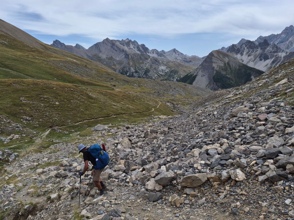
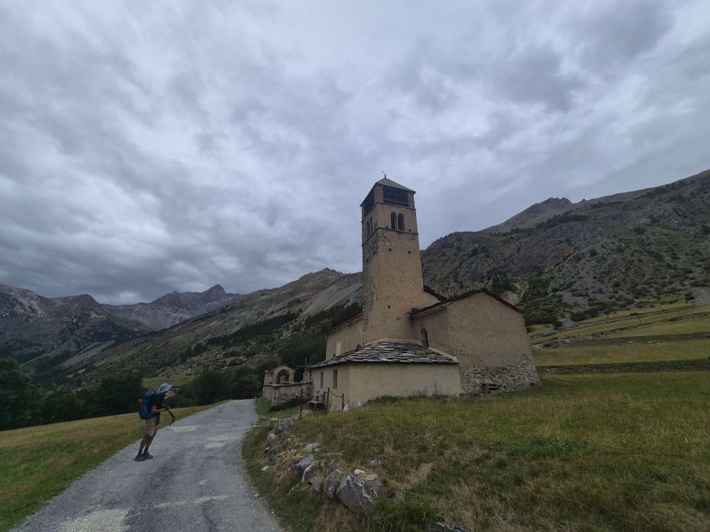
Maljasset seemed to be busy with hikers and cyclists heading towards a very busy car park. It was already late afternoon when we started the ascent to Col de Mary at 2,637 m. The brief rain shower had passed, although it was some time before any blue sky returned.
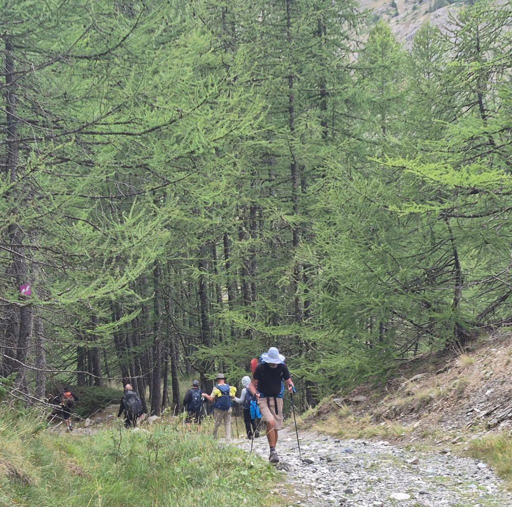
It was hard watching so many hikers returning from the summit, knowing they were probably heading back to their comfortable homes while we were heading up, all alone, into the mountains. From about halfway up, we didn’t see another hiker for the rest of the day.
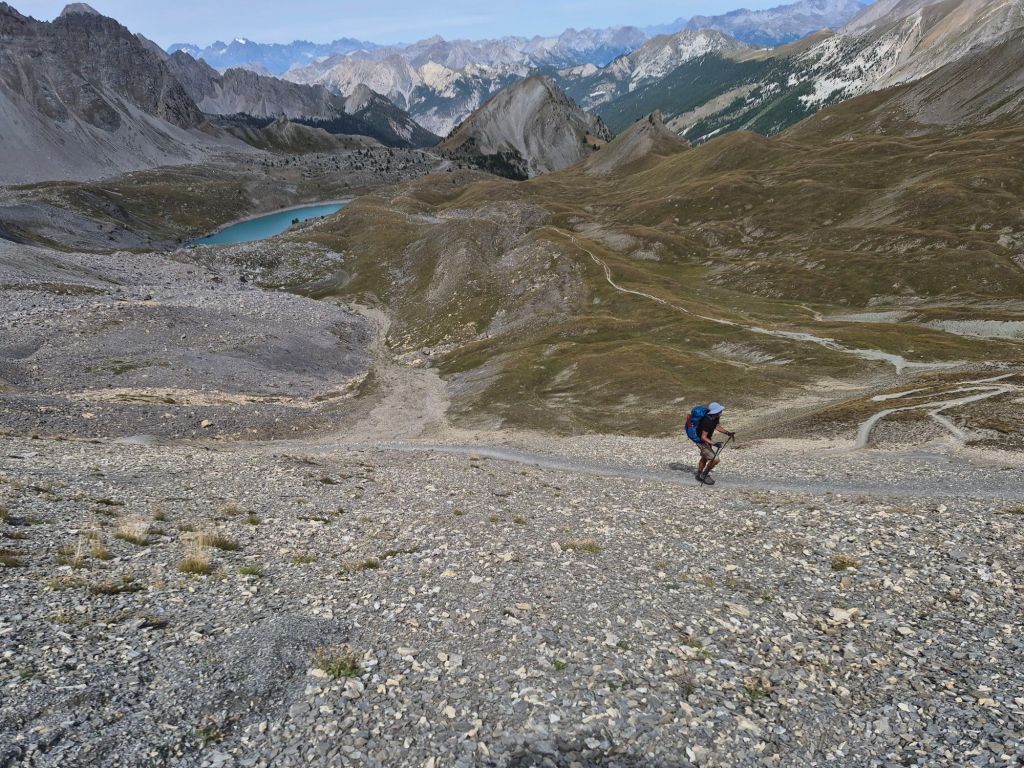
The climb to Col de Mary was quite straightforward. The trail was well formed and rocky in parts, but it just seemed to take us ages to get anywhere near the summit. Eventually, we reached the pass and started descending almost immediately. It was windy and cold, and the rain returned briefly. The view ahead from the pass was of a series of jagged peaks all bunched closely together, with no discernible valleys between them. Low-hanging fog quickly began to envelop some of the peaks.
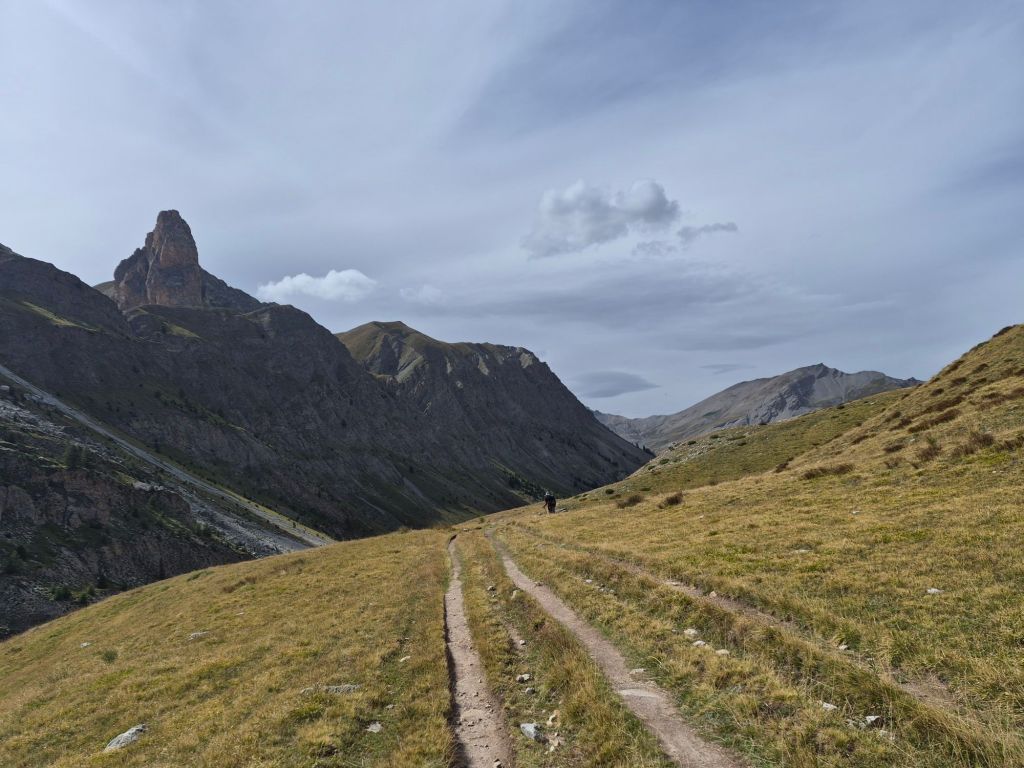
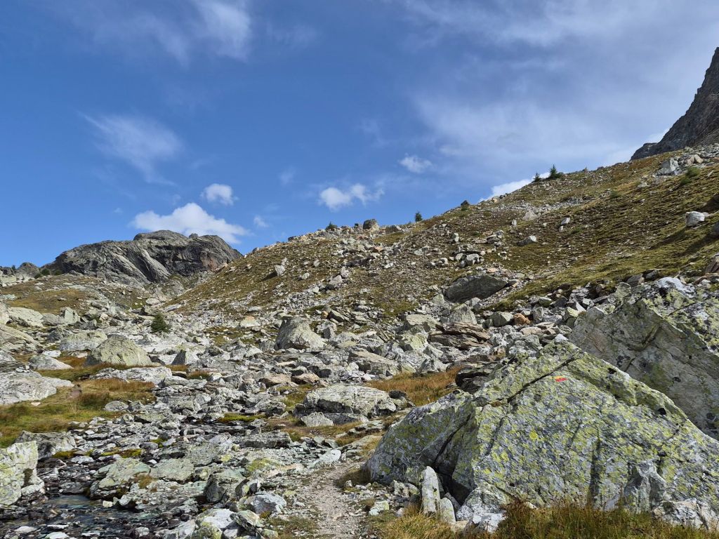
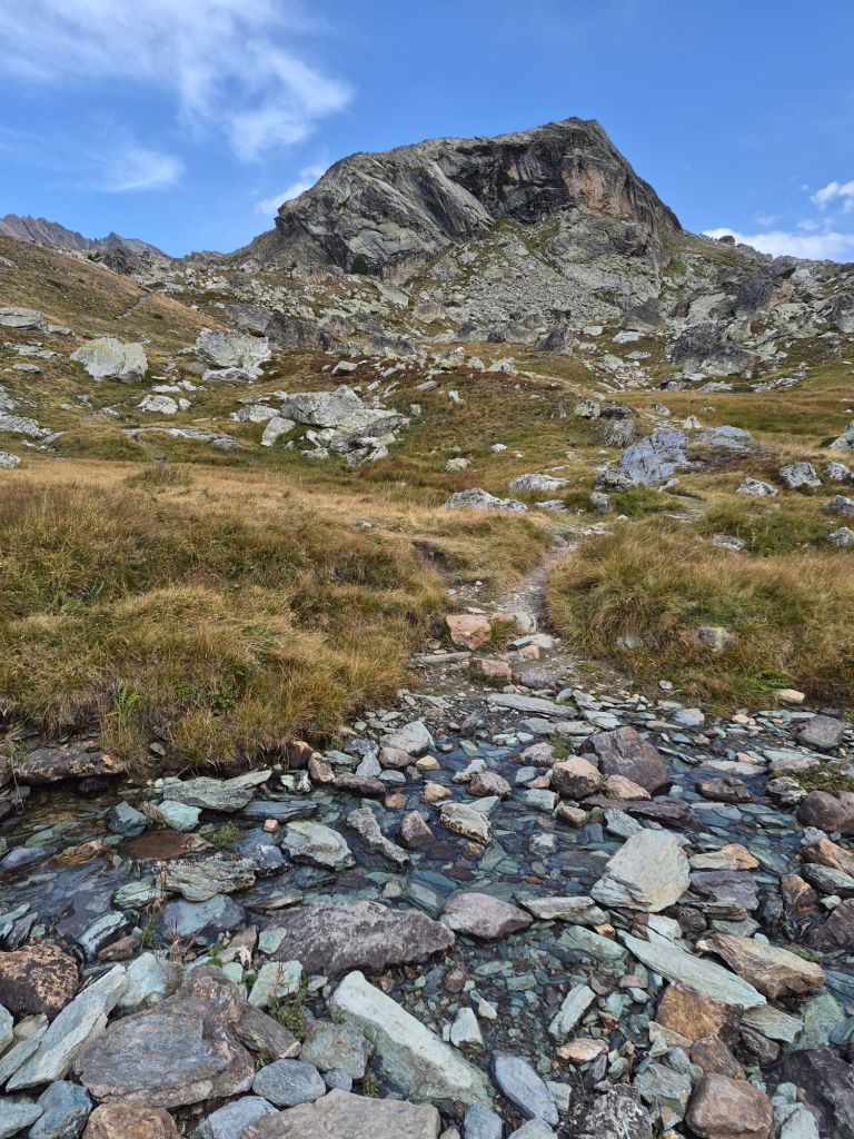
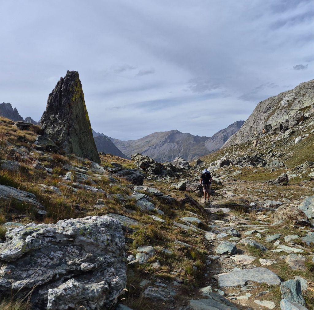
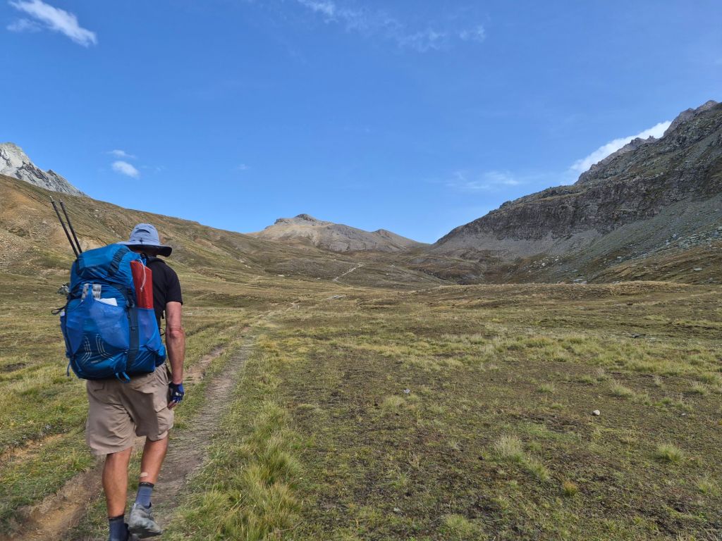
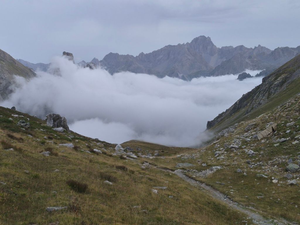
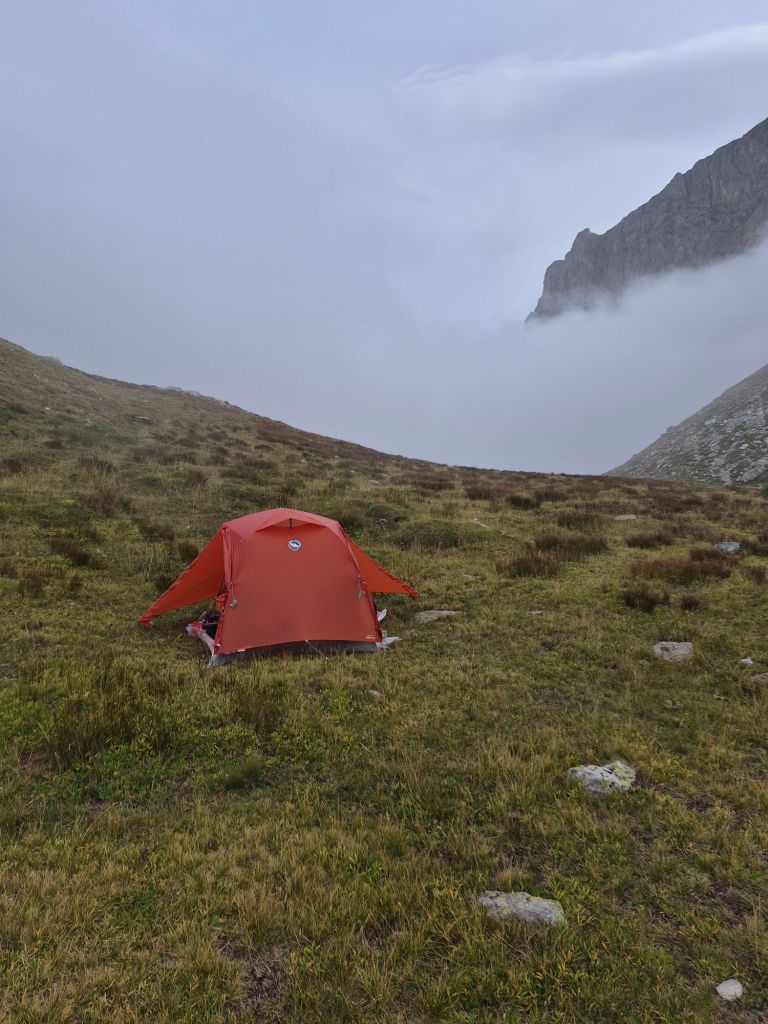
We descended to just above the fog and decided to call it a day. We really didn’t want to take a chance on having to camp in the fog. By the time we had settled in, the fog had rolled in around us anyway.
And with our crossing of Col de Mary, we had crossed back into Italy. We’ll spend the next 140 km there and we’ve reached another milestone.