A VALLEY WALK
CAMP COUROUNBA – EYGLIERS
VIA ALPINA DAY 64 – MONDAY 24 AUGUST 2026
DISTANCE HIKED: 23.90 km
ELEVATION GAIN: 316 m
TOTAL DISTANCE HIKED: 1,625.28 km
TOTAL ELEVATION GAIN: 84, 239m
We are both suffering from trail fatigue and a general weariness with this trail. Yesterday morning’s stop at Le Monêtier-les-Bains was so lovely that I really just wanted to stay and enjoy this gorgeous town. The thought of another few hundred kilometres, with fewer towns and fewer food options as we move towards Monaco, just seemed like unnecessary suffering.
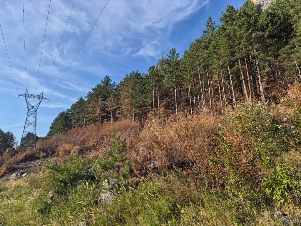
Today was predicted to bring rain and possible thunderstorms later in the day. Some sections of the Via Alpina on today’s route were also badly burnt in the recent fires, and it was difficult to work out how the various trail closures affected the Via Alpina route through the burnt areas. So we decided to take a trail through the valley that follows part of the Camino route to Arles instead.
The GR653D Via Domitia—a branch of the Chemins de Saint-Jacques de Compostelle—follows the ancient Roman Via Domitia route from the Italian border through the Alps and passes through La Roche-de-Rame on its way towards Arles.
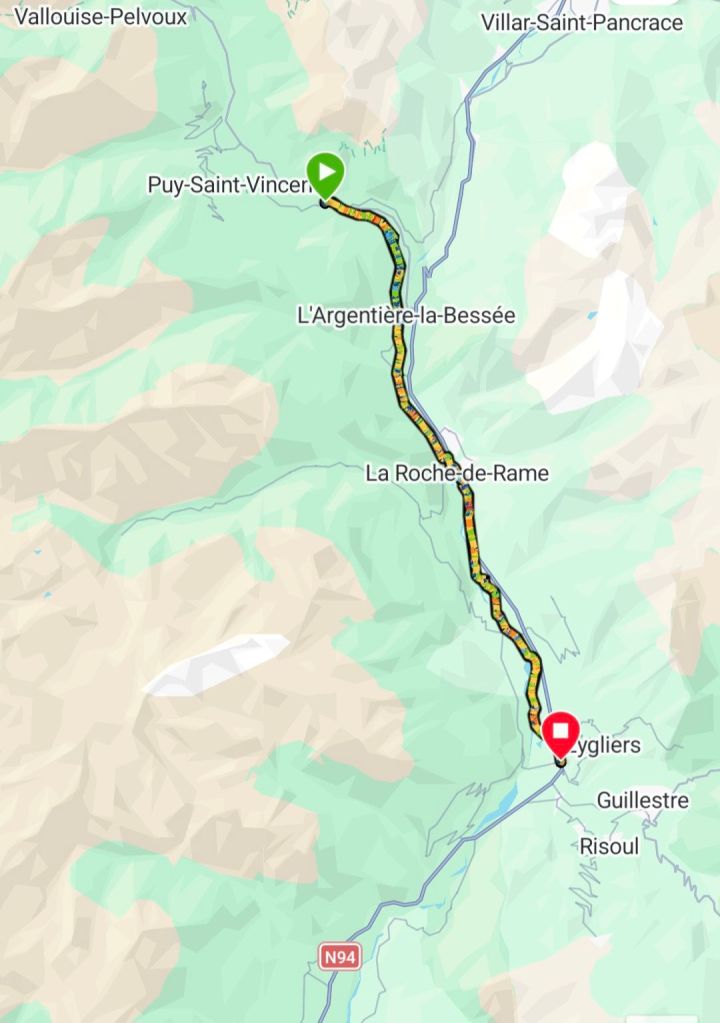
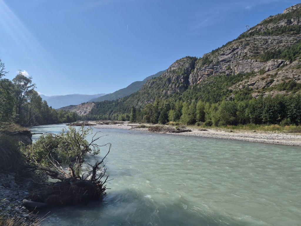
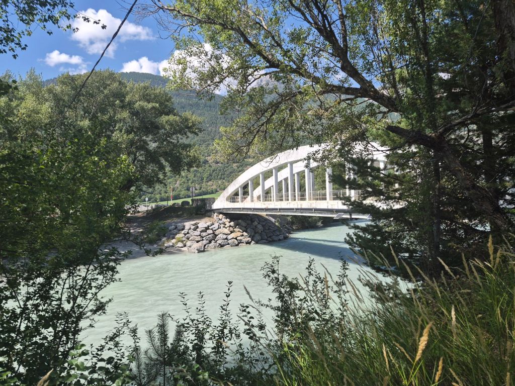
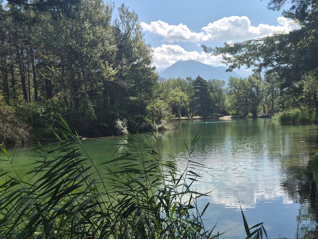
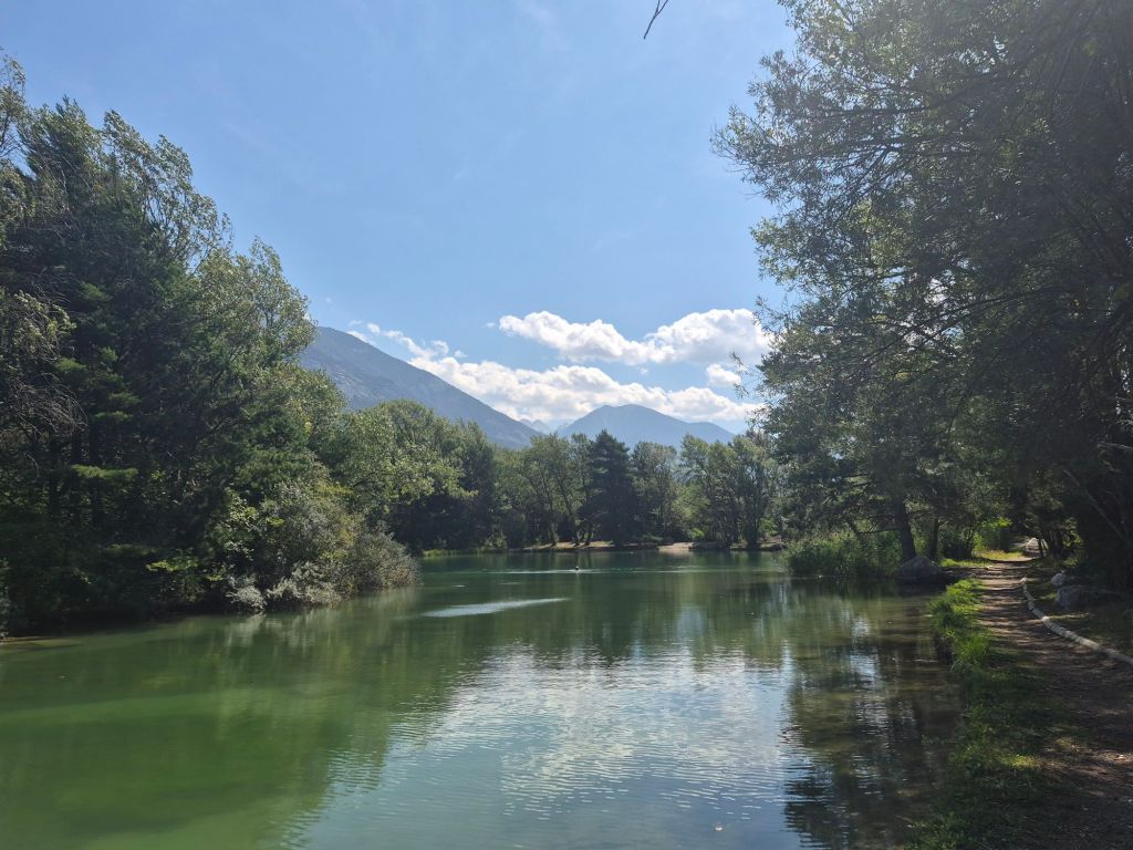
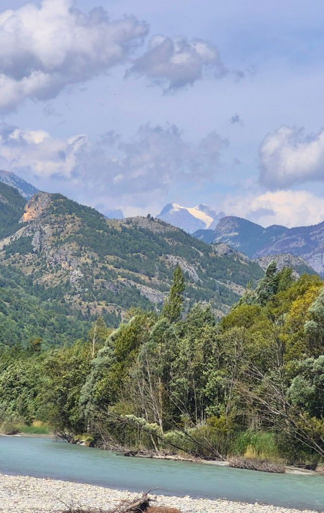
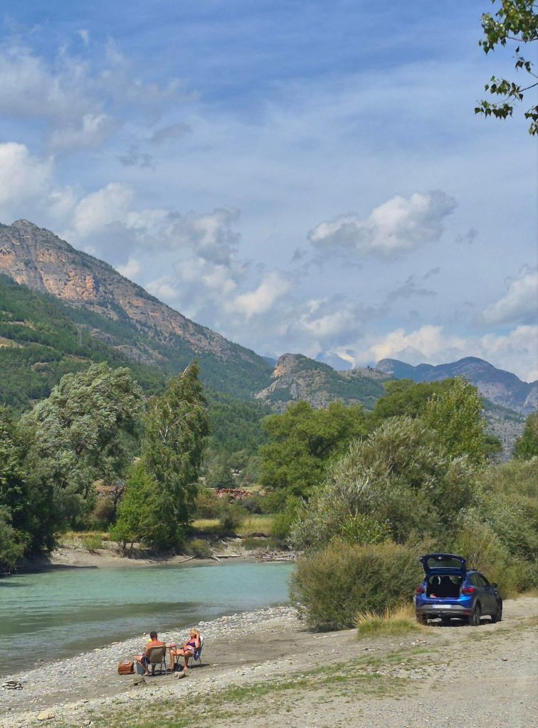
We followed the Gyronde River from the campground this morning until its confluence with the Durance River, then stayed in the Durance River valley until we reconnected with the Via Alpina route at Eygliers.
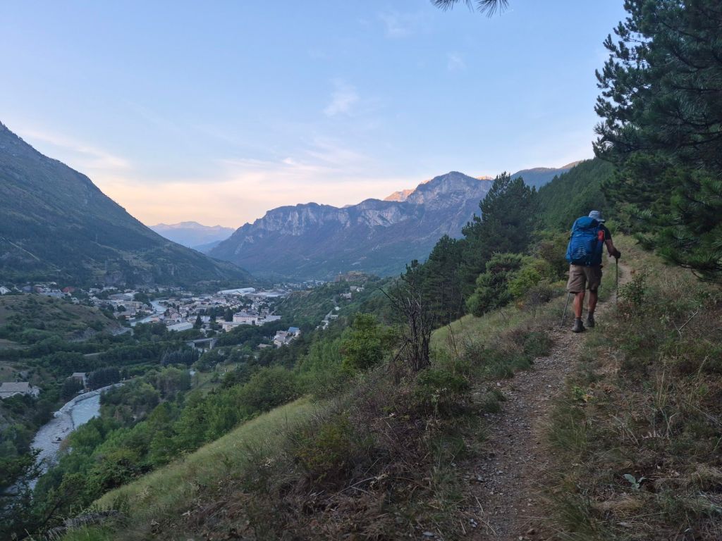
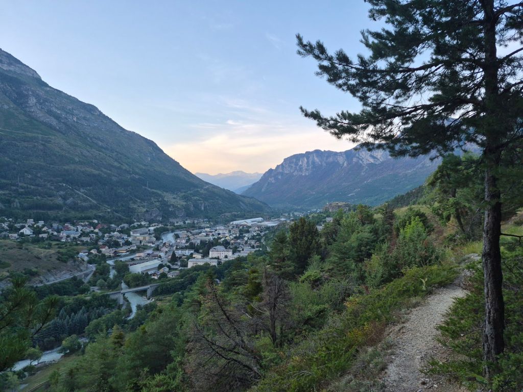
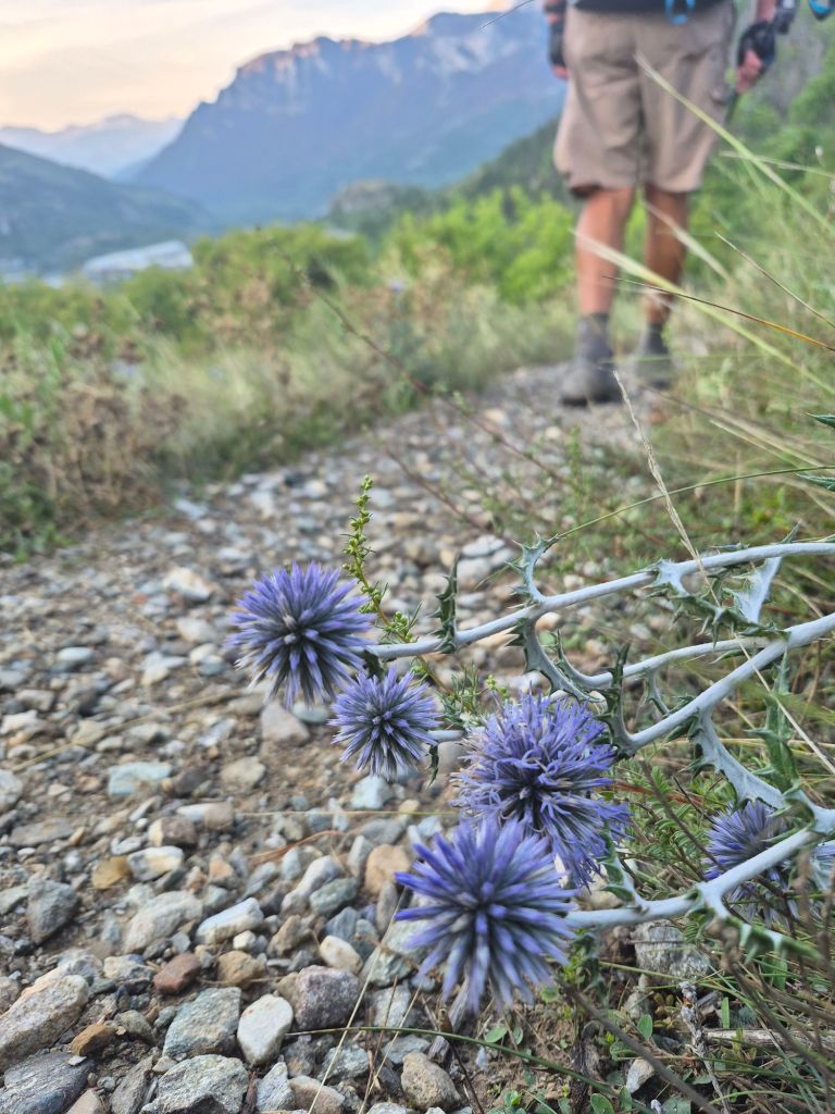
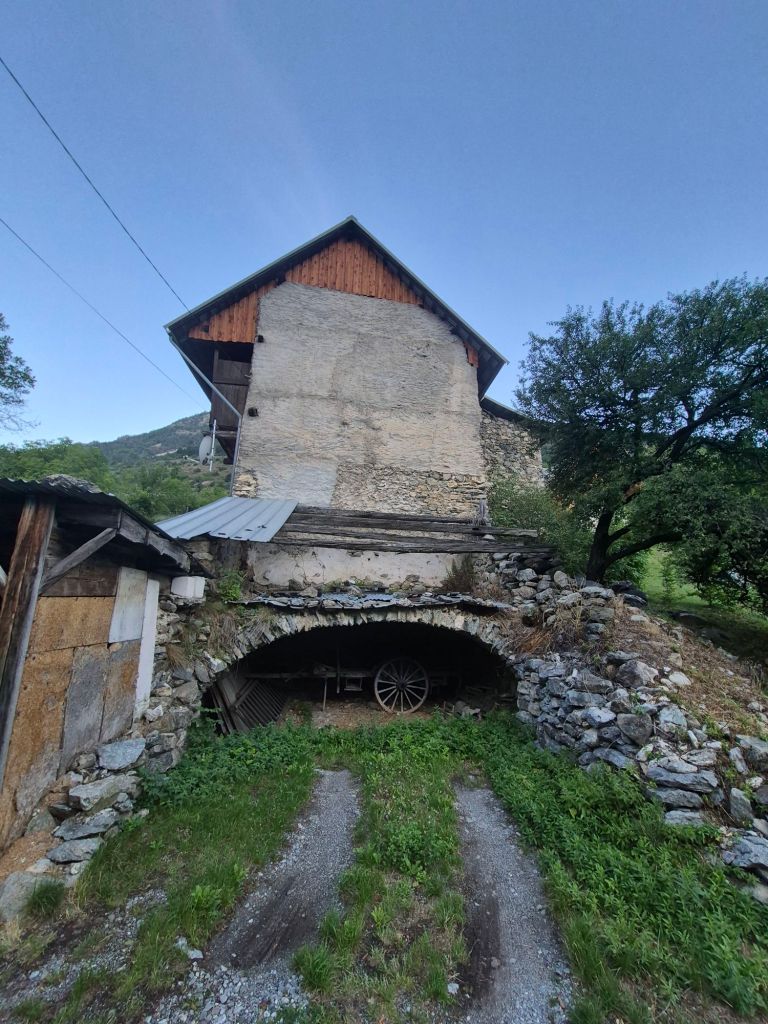
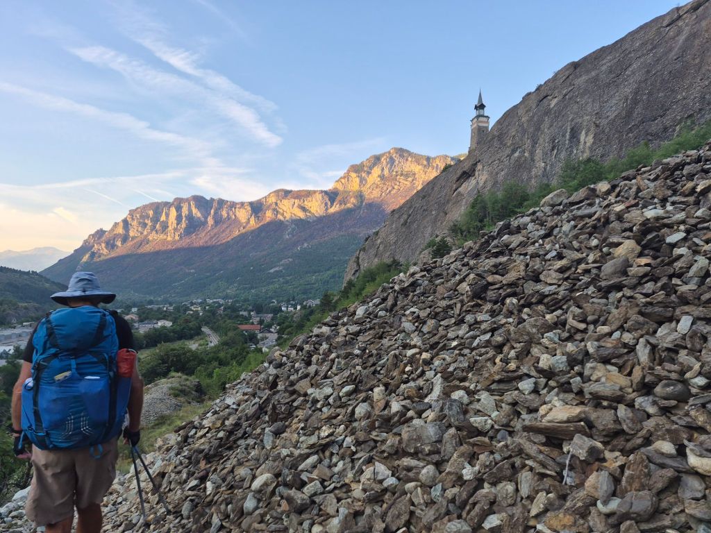
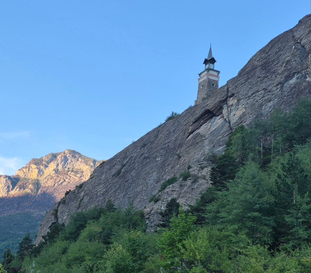
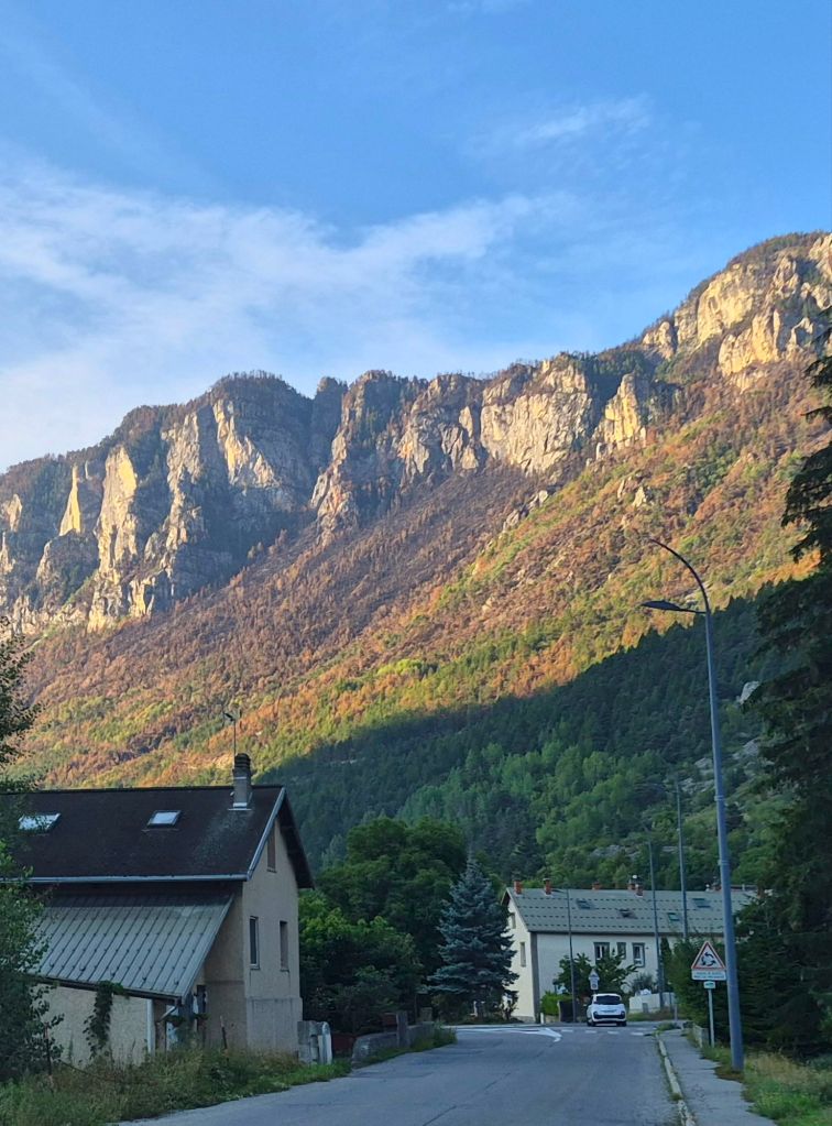
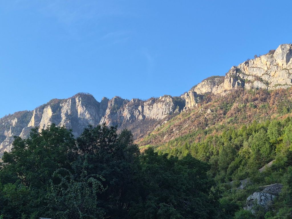
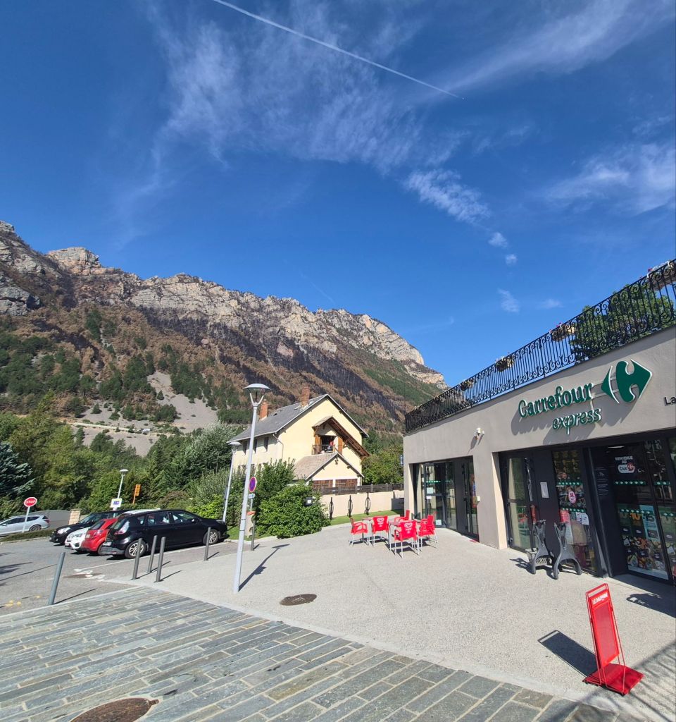
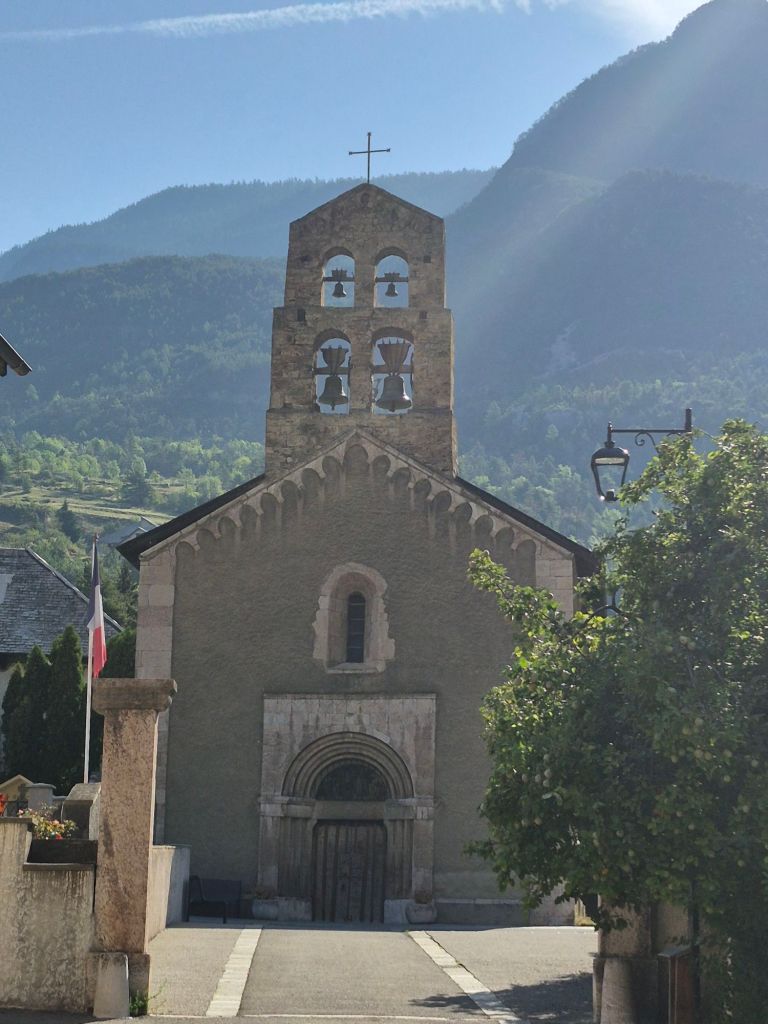
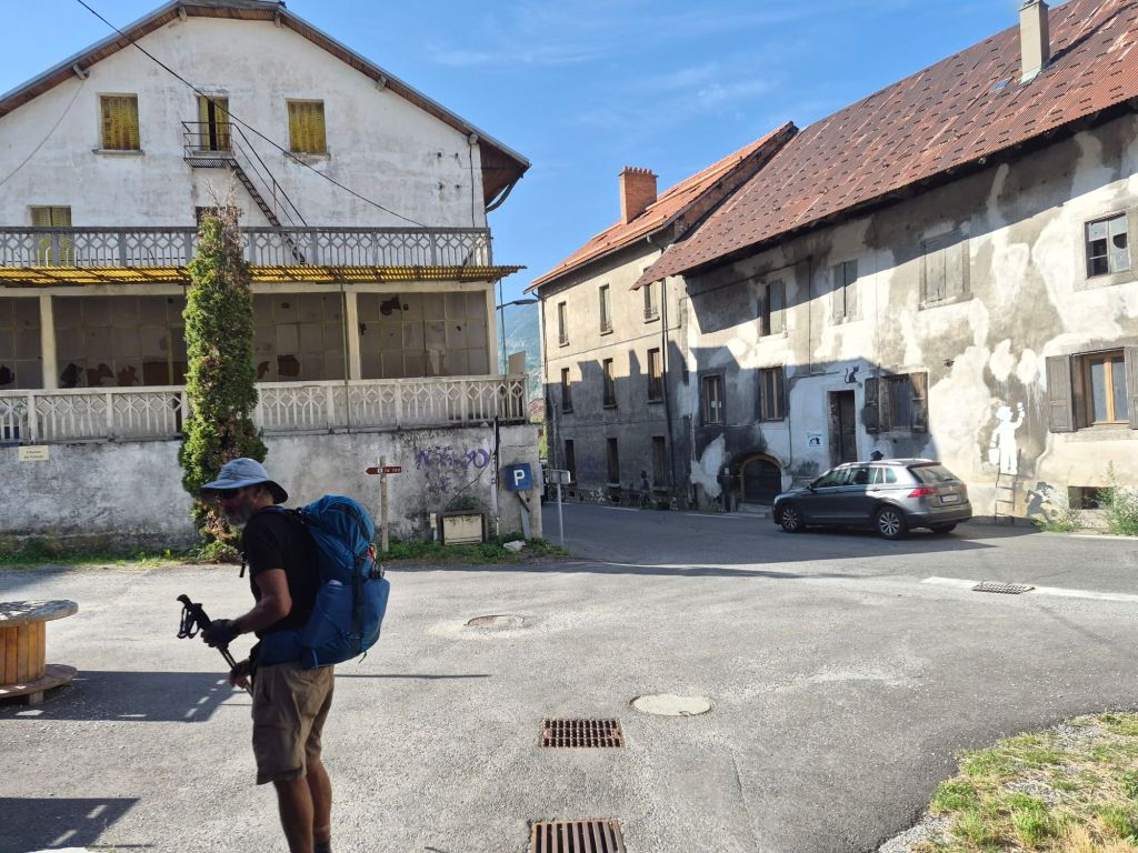
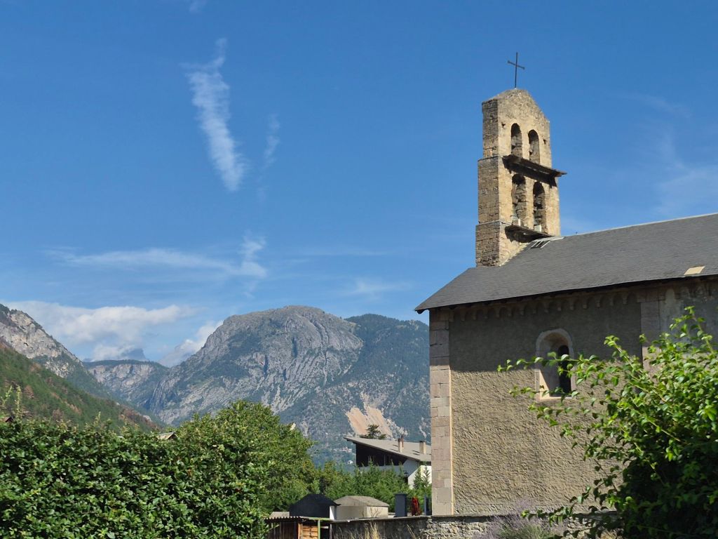
We stopped at a small village La Roche-de-Rame for a short break. The surrounding hills are badly scarred by the recent fires. The main road through the valley bisects the village, creating a division and a busyness that is totally at odds with its size and scale. There is a movement in town to lobby for the road to be rerouted.
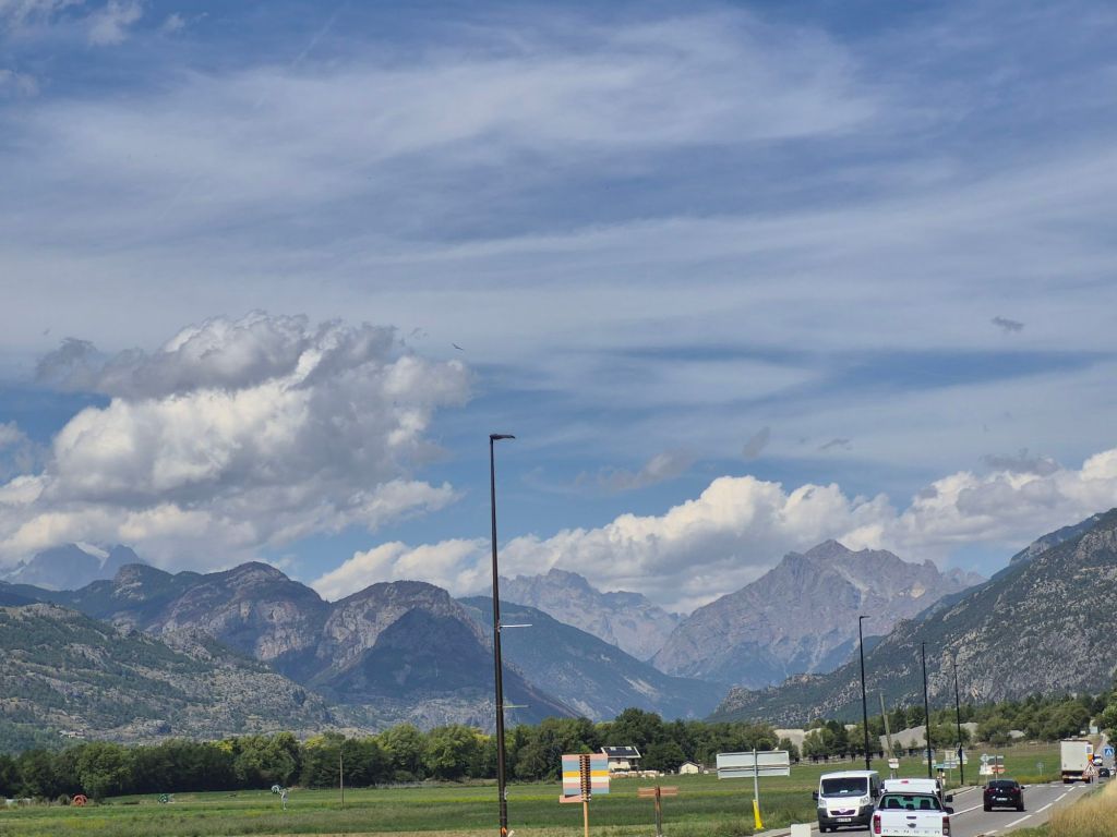
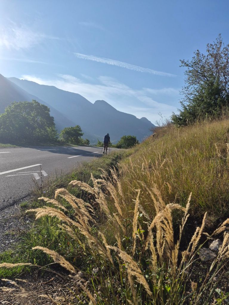
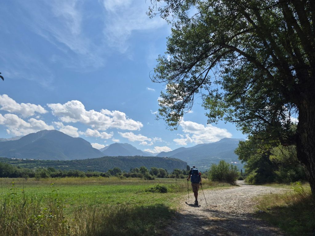
Hiking along the river was such a pleasant change from our recent mountain ups and downs. We could walk side by side and chat, while looking around at the surrounding peaks. It was a warm and sunny day, reaching 32°C—a sunscreen sort of day. We could see, though, that clouds were gathering over the mountain peaks behind us. The thunderstorms were coming later in the day.
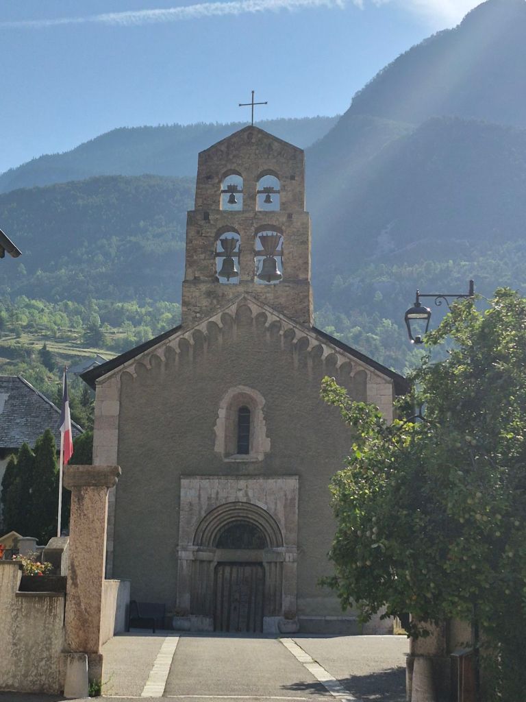
We booked a hotel in Eygliers, which will give us a chance to escape the wet weather and spend some time planning the route ahead. There is only one more resupply town along the route—Ceillac—after which there is a 200 km section of trail without towns along the way. So we need to work out where we can leave the trail to get supplies as we move further south.
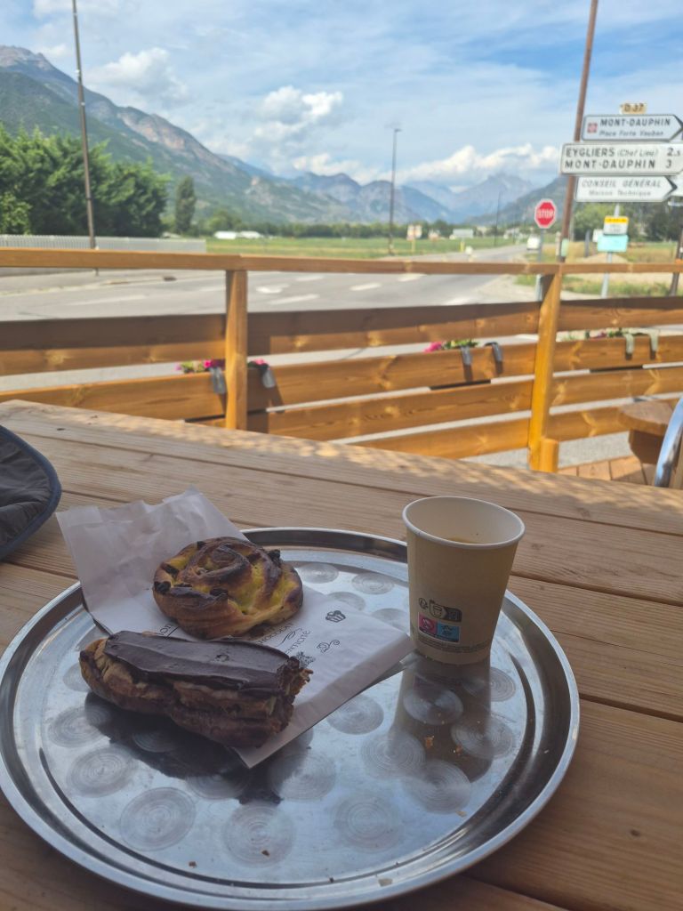
All in all, we were happy with our valley hike today. And we made it to Eygliers while the boulangerie was still open.
Happy hikers.