GLORIOUS MORNING AT MONT-DAUPHIN
EYGLIERS – NEAR COL DE BRAMOUSSE
VIA ALPINA DAY 65 – TUESDAY 25 AUGUST 2026
DISTANCE HIKED: 35.50 km
ELEVATION GAIN: 2,581 m
TOTAL DISTANCE HIKED: 1,669.78 km
TOTAL ELEVATION GAIN: 86, 820m
It was a long and tiring day—12 hours of walking with two long ascents. Thankfully, the comfortable temperature and well-graded trails made the climbs feel easier than expected.
After breakfast at the boulangerie, we were back on the trail by 7.30am. After an easy hiking day yesterday, we felt refreshed and re-energised, ready to tackle the remaining distance to Monaco.
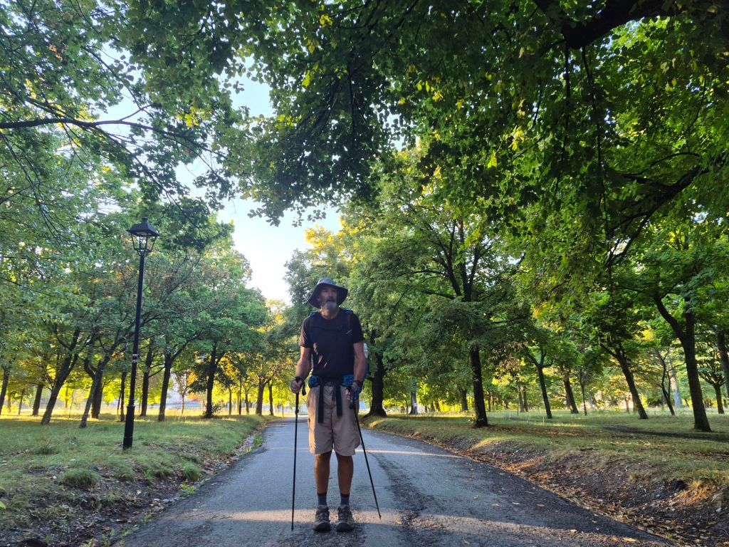
After last night’s rain, there was a wonderful herby aroma in the air as we started climbing towards the walled city of Mont-Dauphin.
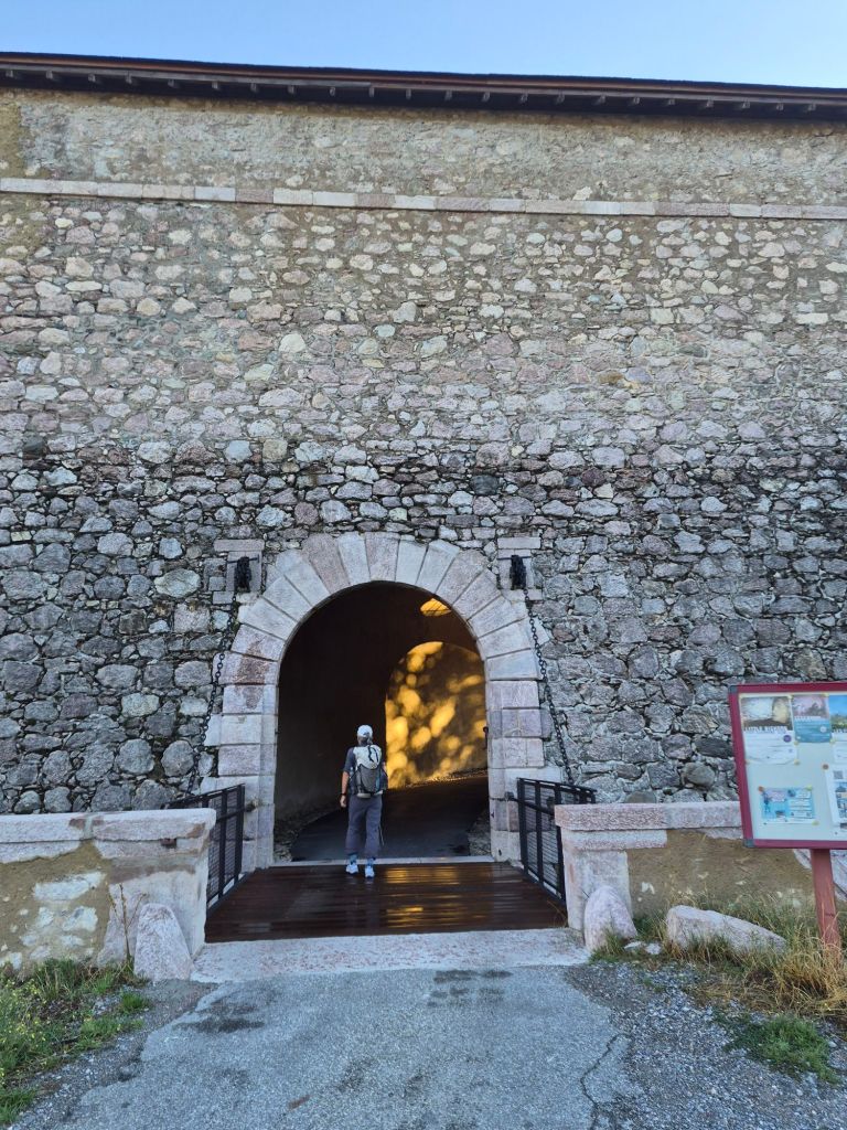
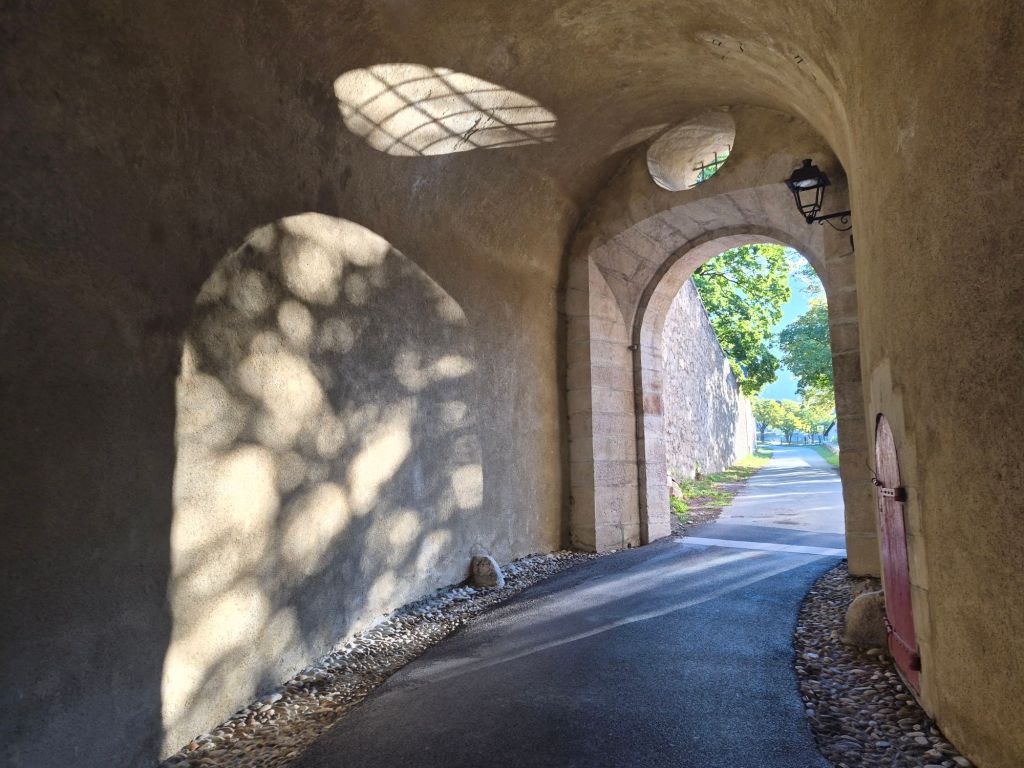
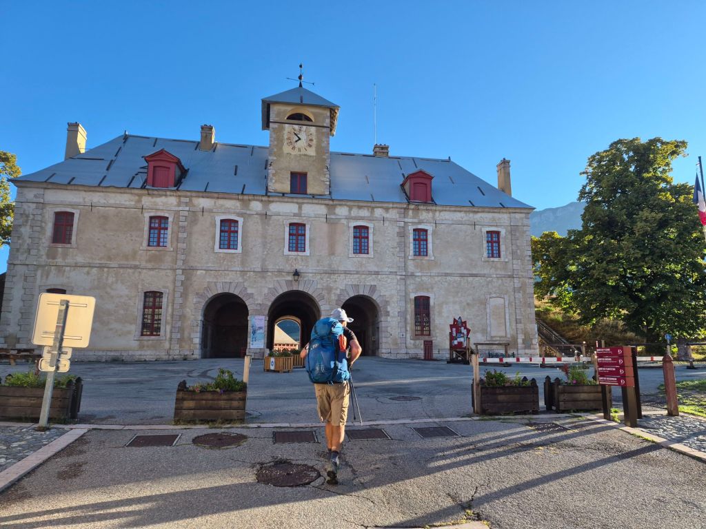
Mont-Dauphin is a fully restored defensive fort with a town enclosed within its walls. It was built in the 1700s as a defence against the Italians, whose border was nearby at the time. We walked through in the brilliant morning sunshine, with no one around except the baker getting ready for the day ahead. It felt as though we had stepped back in time. The fort was complete with moats and a drawbridge.
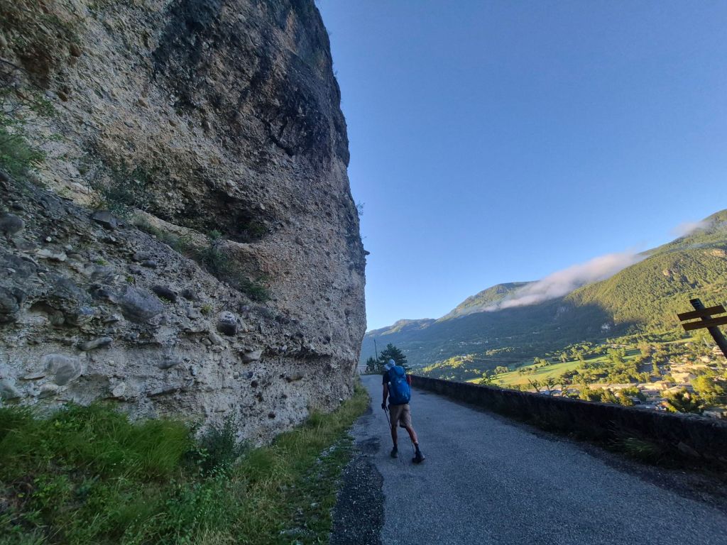
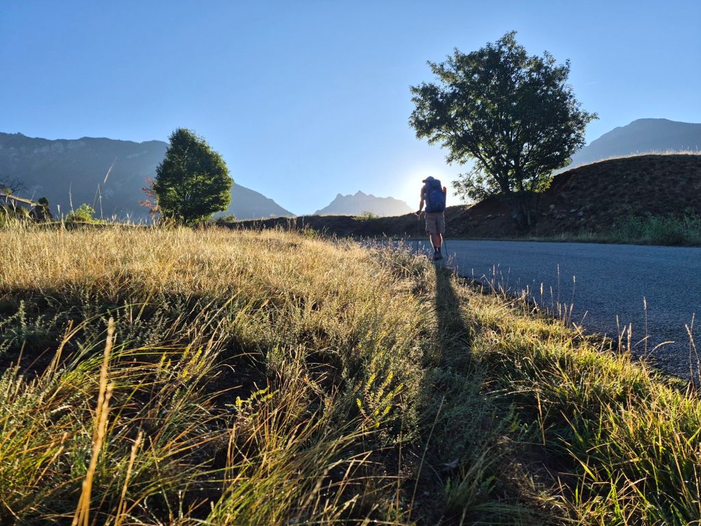
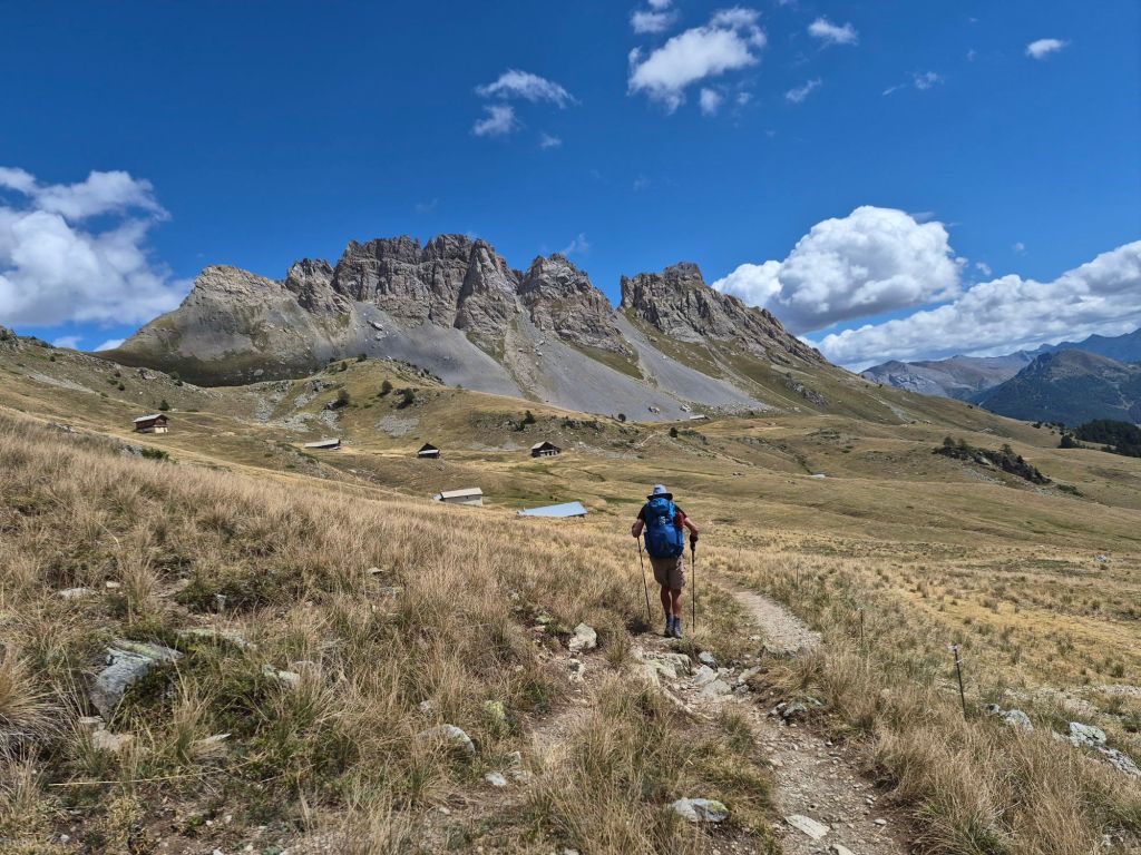
From Mont-Dauphin, we followed a winding mountain road in perfect morning stillness and sunshine to the tiny hamlet of Gros. From here, we continued on a gravel road, gradually climbing towards Refuge Furfande.
It was cool and quiet in the mountains, with only the sound of birds twittering. A perfect hiking morning.
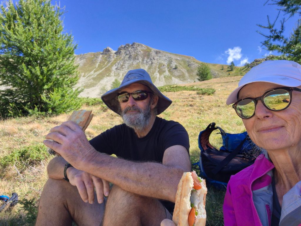
We reached Col Garnier, at 2,279m, around lunchtime. It was a little breezy on top, so we descended a little before stopping for lunch. The view was so peaceful, and it felt like we had the mountains entirely to ourselves.
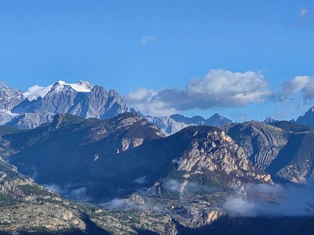
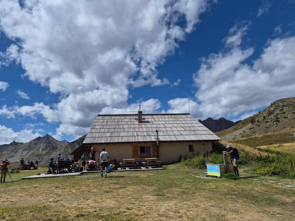
We had only seen three hikers and two cyclists before reaching the refuge, so it was a surprise to find dozens of hikers sitting outside, enjoying drinks and food in the sunshine. It was tempting to join them. The hut had fabulous views of the surrounding peaks. We picked up some water and hiked on.
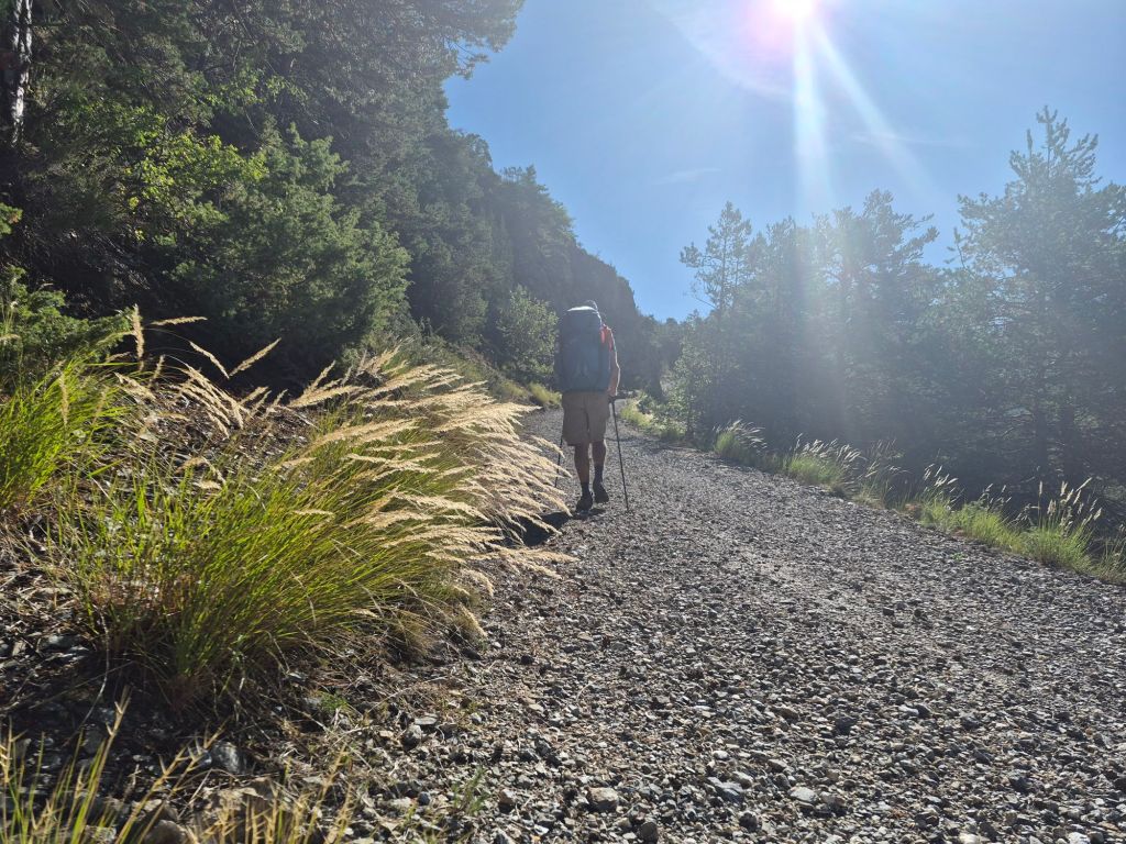
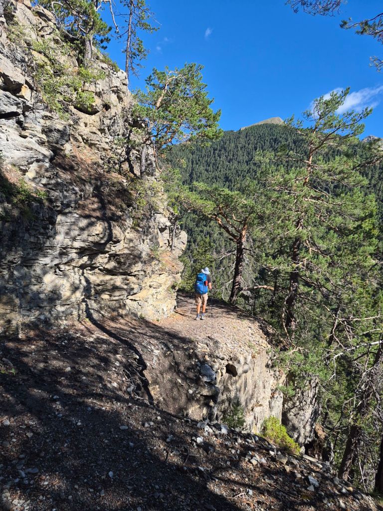
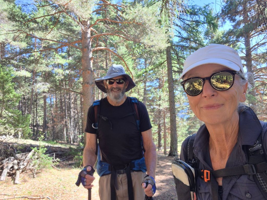
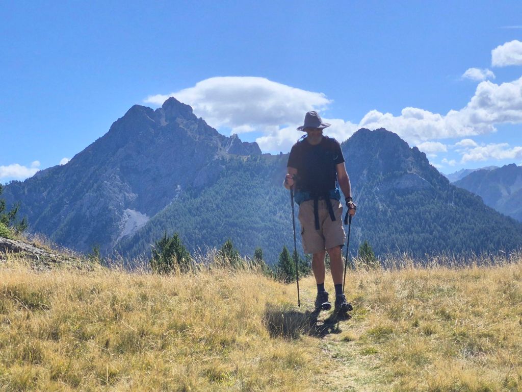
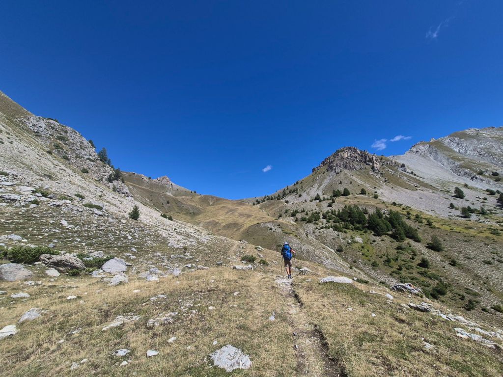
For the rest of the day, we didn’t see another hiker.
It was a long descent from the hut down to the Le Guil River at 1,185m. I’ve lost count of the number of switchbacks we walked on the way down. Reaching the river felt like a milestone.
It was mid-afternoon, and ahead of us was a daunting 1,000m ascent to reach our next mountain pass, Col de Bramousse at 2,251m, on our way to the village of Ceillac.
Daunting task!
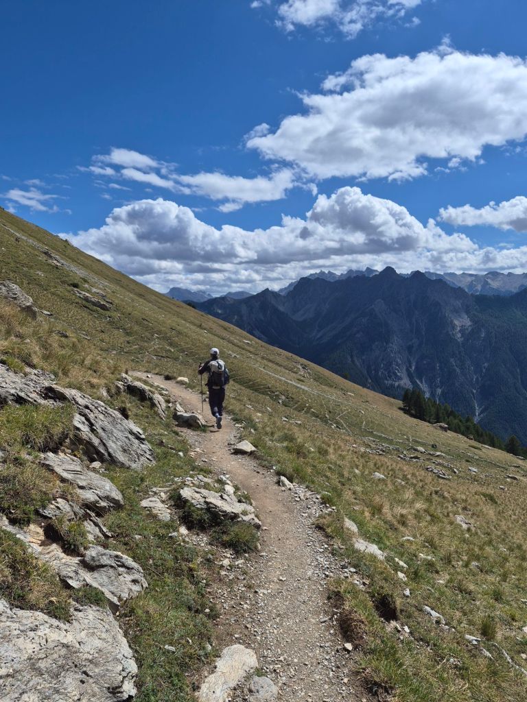
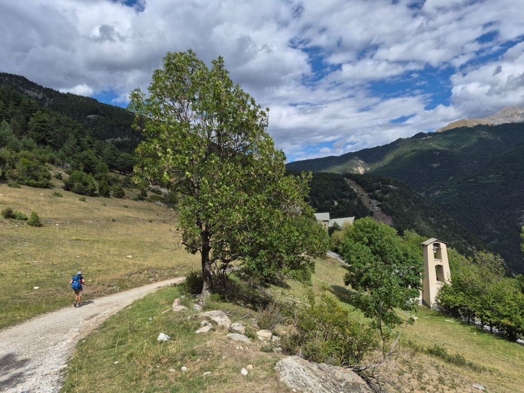
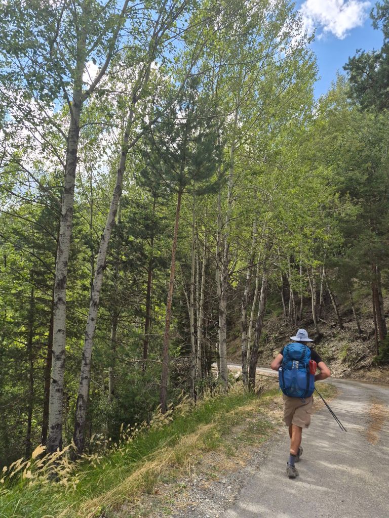
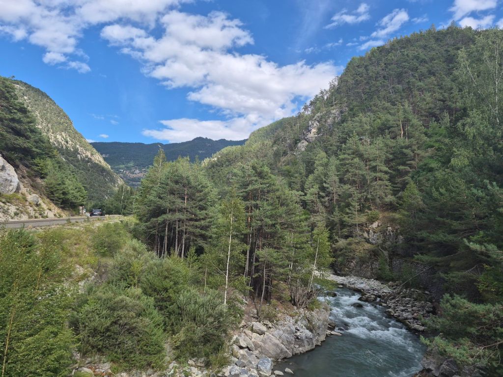
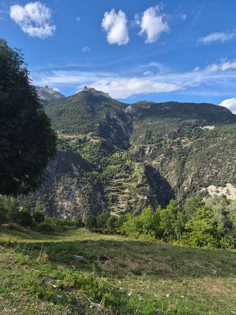
Yet climbing out of the river valley felt surprisingly easy. A lovely breeze kept us cool and felt wonderfully refreshing. We soon joined a gravel road, and the gentle gradient made the climbing feel somewhat easier.
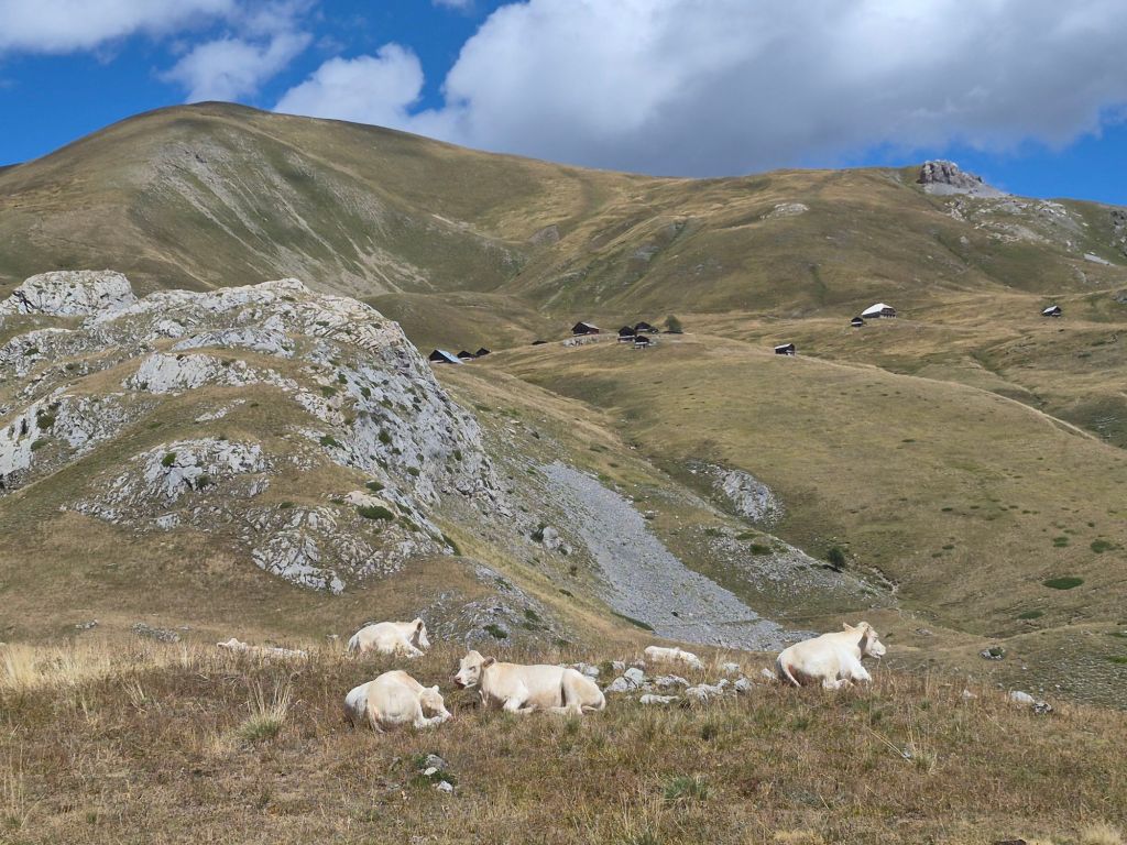
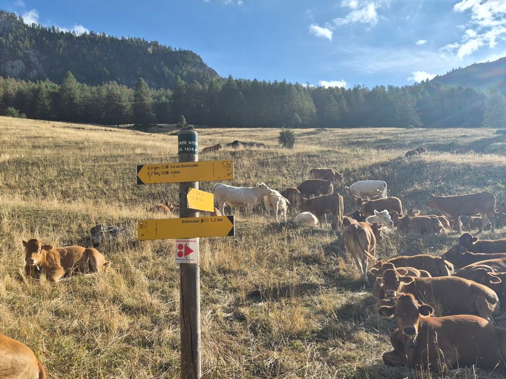
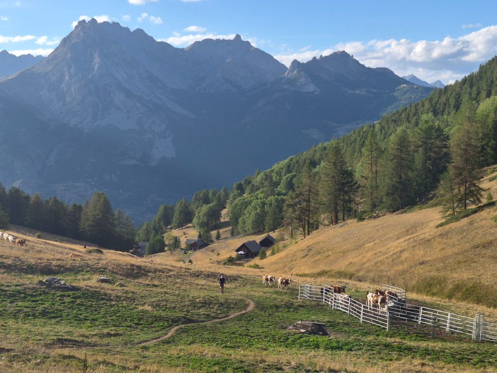
We had expected to camp at a location our map suggested would have more open contours and, therefore, flatter ground. But when we arrived, we discovered the cows had beaten us to it.
So we had no choice but to continue climbing the much steeper final two kilometres towards the summit.
Short of the summit, we spotted what looked like a disused road—grassy and flat.
It was nice to stop.

Once again, your photos delight me! So many beautiful ones! I always wonder if you print a book of your hiking adventure or frame any of these? I would, if I were you! After every post I read I thank you. It is pretty wonderful to be taken along on your adventure.
LikeLike
Thats so kind Leslie I really missed having a better camera then my phone.
I thought of you when we passed these wonderfully coloured beehives. European honey tastes amazing.
LikeLike