A DAY OF TWO HALVES
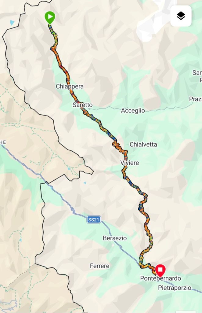
BELOW COL DE MARY – PONTEBERNADO
VIA ALPINA DAY 67 – THURSDAY 27 AUGUST 2026
DISTANCE HIKED: 37.00km
ELEVATION GAIN: 1,782 m
TOTAL DISTANCE HIKED: 1,735.53 km
TOTAL ELEVATION GAIN: 90, 868m
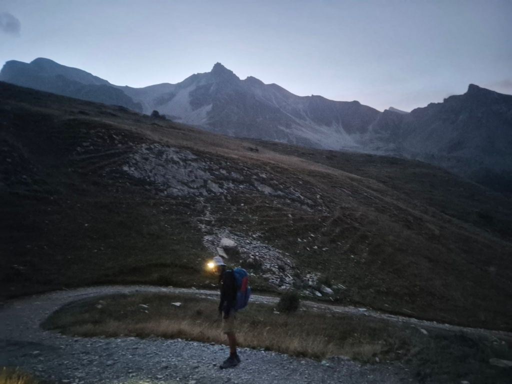
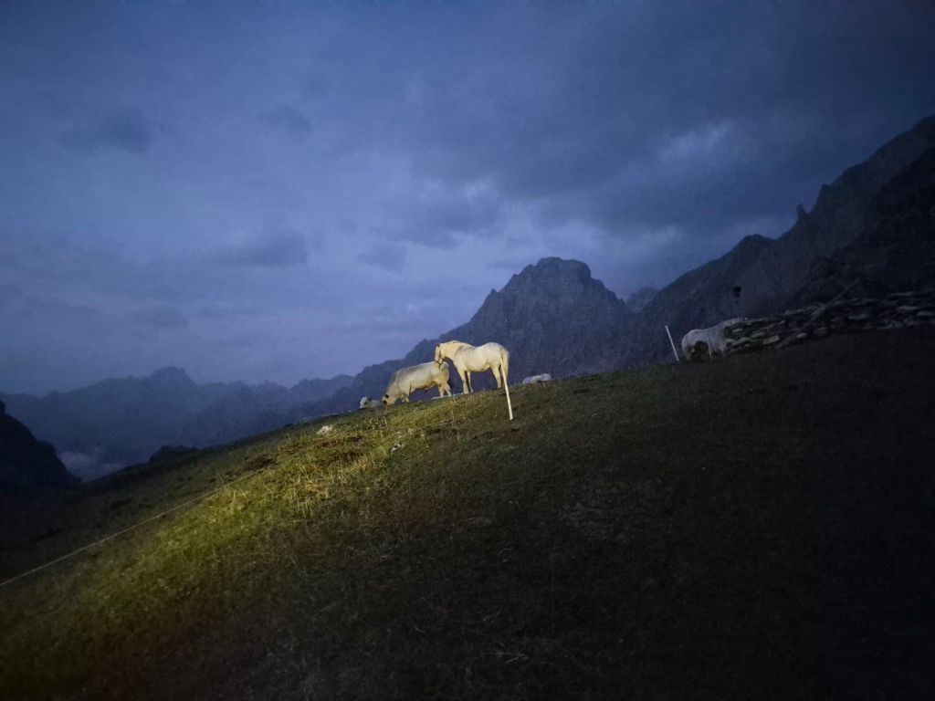
The moon was shining brightly through the night, but this morning was pitch black as we packed up. It was incredibly quiet, except for the occasional gust of wind.
We hiked in the dark for about 45 minutes before the twilight became bright enough to see the trail ahead. Visibility improved even more once we reached a gravel road.
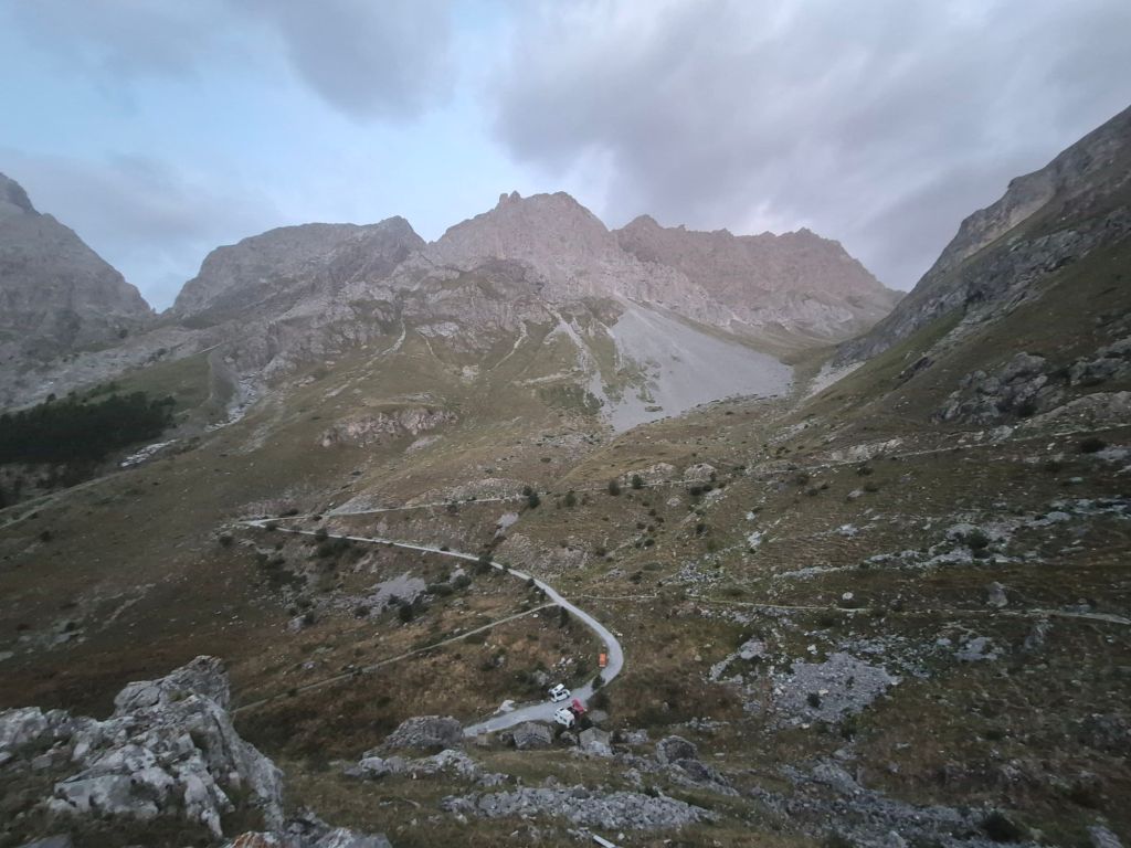
I was pleased we had stopped early yesterday, as the spot I had thought we could camp at was occupied by several campervans, which we passed as we descended. From here, the trail followed a sealed road, giving us plenty of opportunity to rubberneck at the jagged peaks. When I think of the Alps, this landscape doesn’t fit the picture I have in my head. I don’t know why.
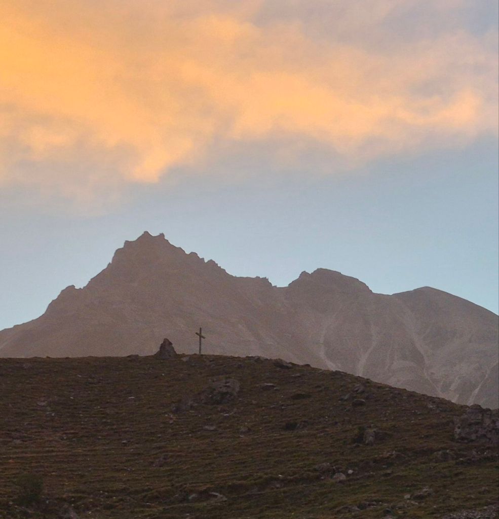
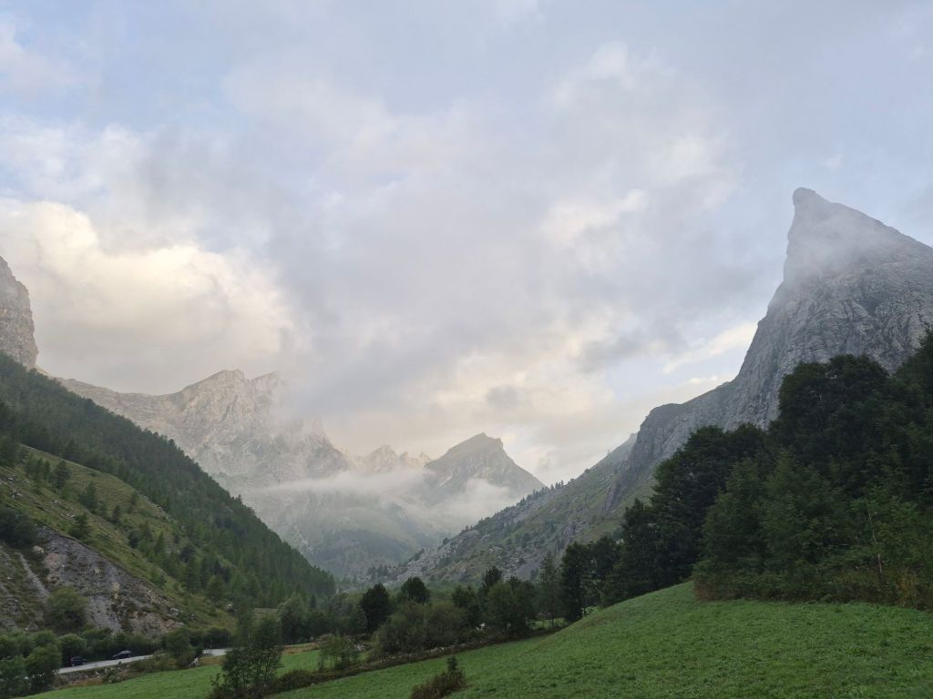
As we descended towards the mountain village of Chiappera, the fog was descending behind us, gradually closing out the views of the peaks.
We followed the road past the hydro dam and into the small village of Saretto, which our map showed had a bakery. When we arrived, it was unrecognisable and looked closed. But on closer inspection, we realised it was simply dimly lit and part of a restaurant attached to the accommodation. It was the cosiest little space. We ordered a panini to eat and another to take with us. Delicious ham and cheese on warm, crusty bread.
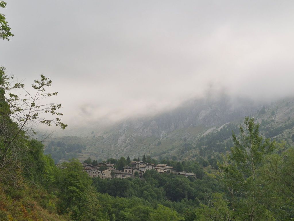
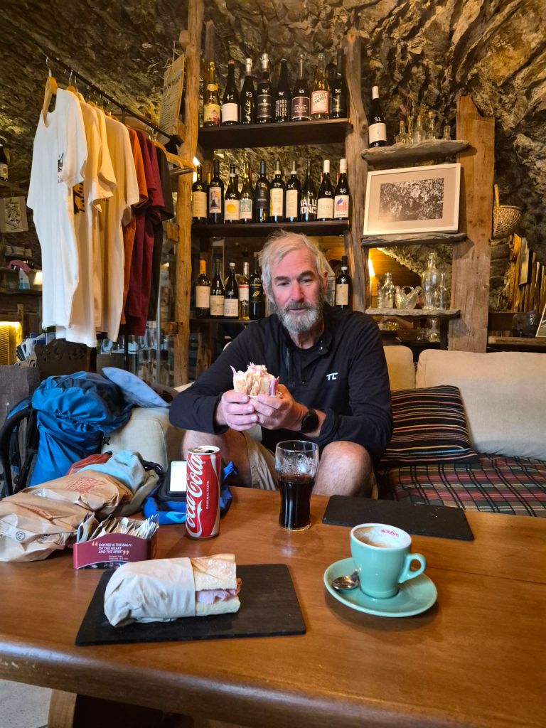
It was so cosy we wanted to stay and have another coffee while listening to the lovely music. And then perhaps get a room upstairs and stay for dinner. But I was dreaming.
We did eventually leave and climbed back onto the trail, passing through one of the nicest-looking campgrounds we have seen so far. Unfortunately, the valley was still completely socked in with heavy fog, so it was impossible to appreciate the views from this beautiful spot.
From the campground we climbed towards Colle Ciarbonet at 2,206 m. We hiked in silence. Although it was only about 750 m of elevation gain over 7 km—not a huge climb compared to what we had in other areas — it still took us much longer than it should have. We didn’t see another hiker.
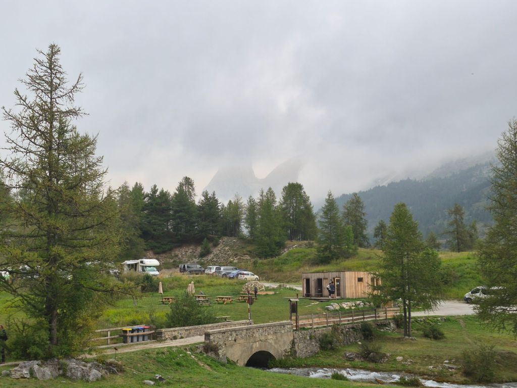
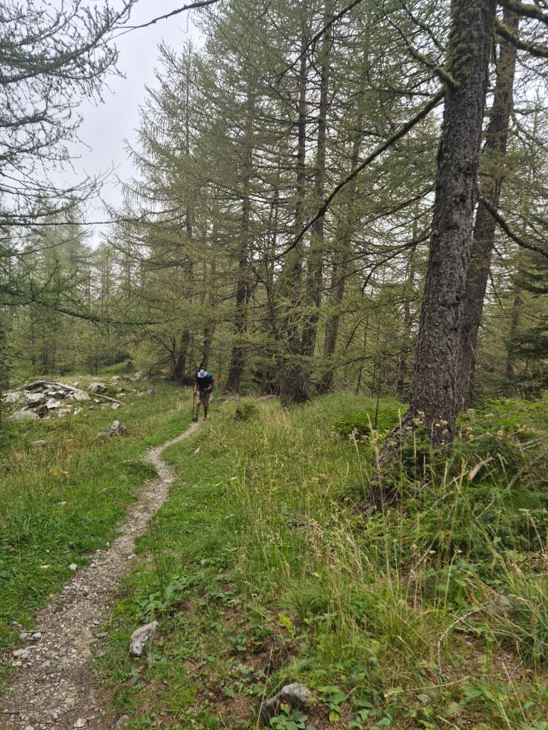
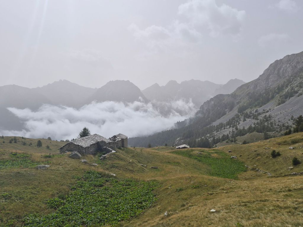
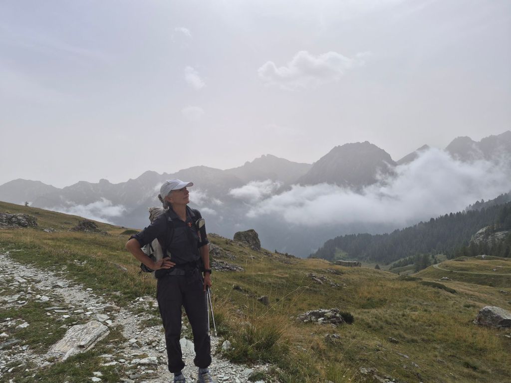
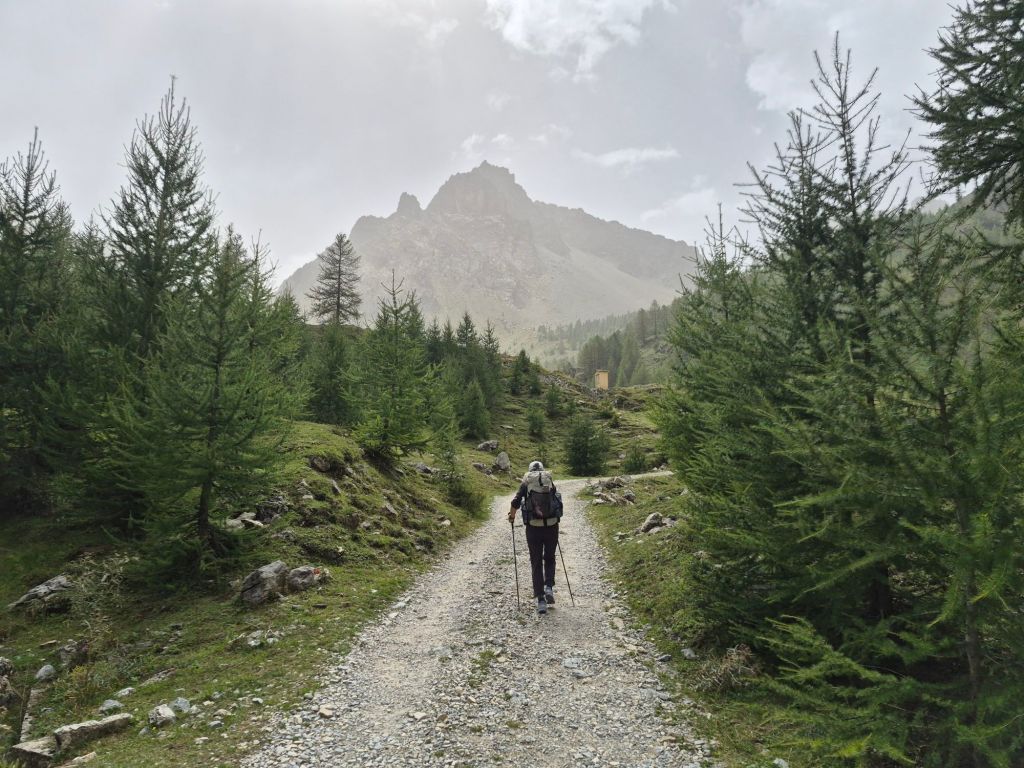
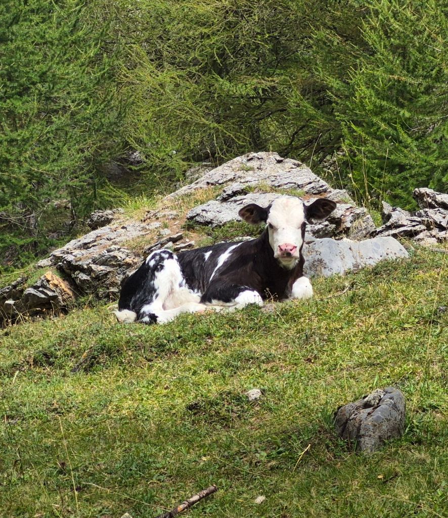
The fog persisted, and in fact stayed with us all day. With very little to see, we decided to make a quick descent. It turned out to be one of the nicest descents we have had—a wide gravel road pretty much all the way down.
The trail then had a strange out-and-back section to Chiavetta for no discernible reason, so we ignored it and continued straight ahead towards the next pass, Passo della Gardetta at 2,437 m.
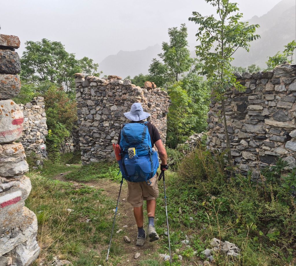
This was a little busier, although most of the hikers we encountered were descending. There were some interesting military bunkers near the summit, apparently fully restored. It would be fascinating to know exactly how they were used.
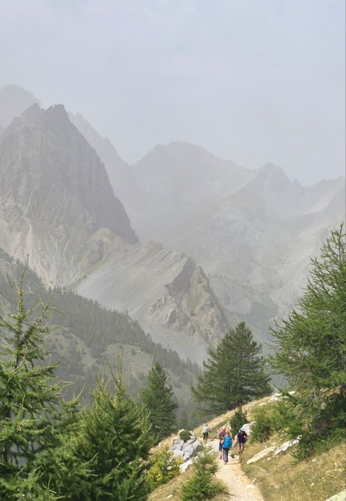
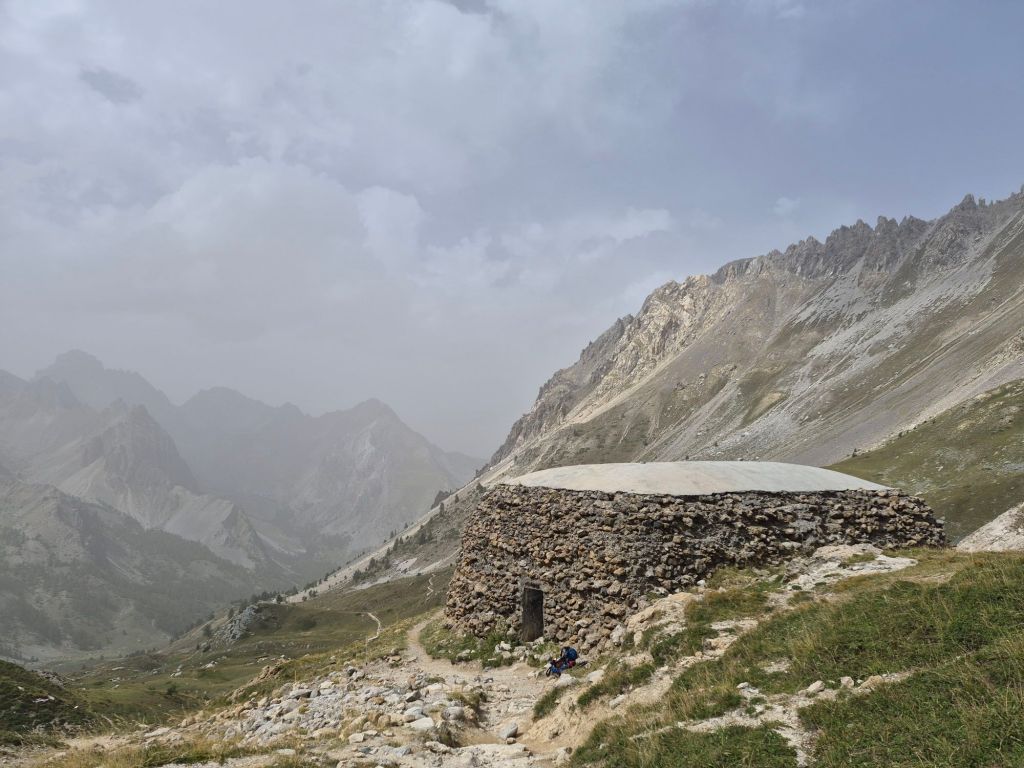
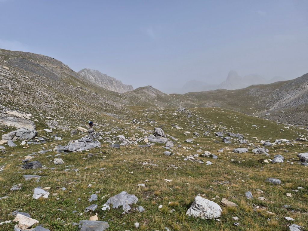
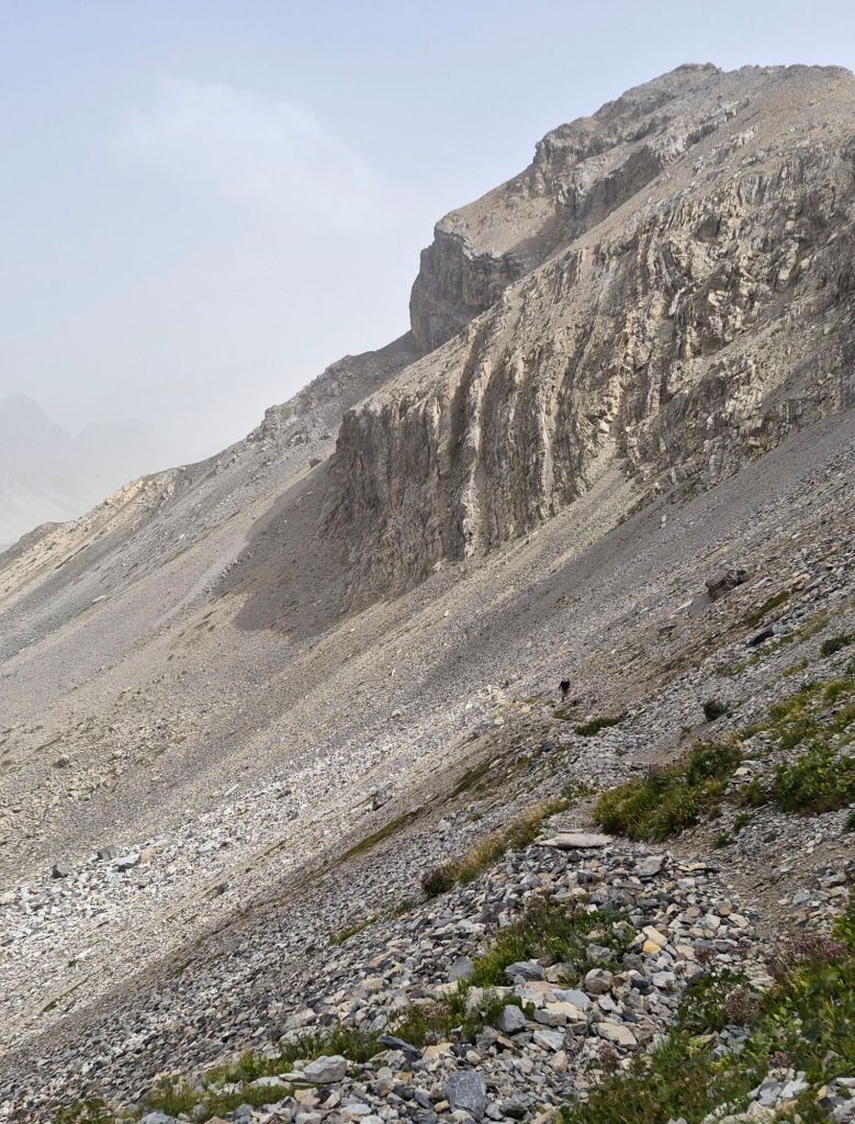
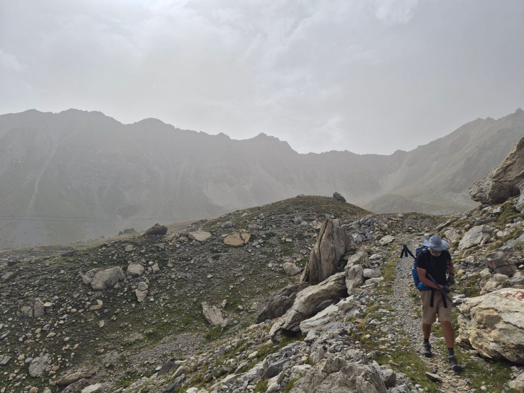
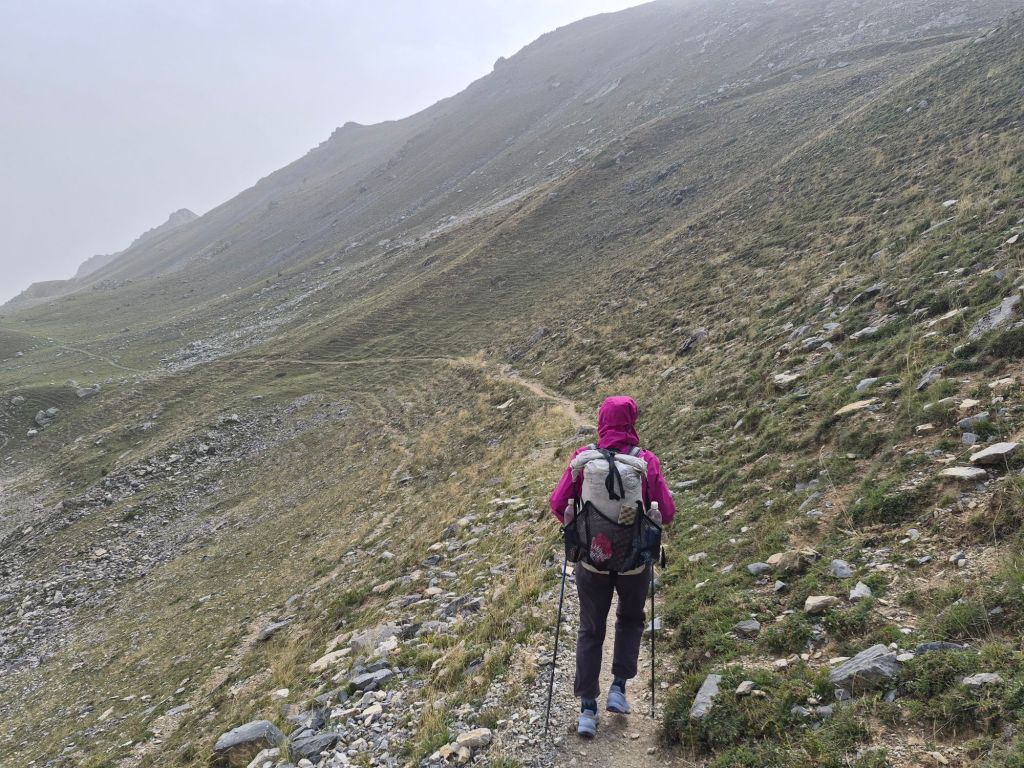
As we neared the top of the pass, the wind became insane. We figured we could make a quick descent and would be OK. Except we couldn’t descend just yet. There was one more pass nearby—Passo di Rocca Brancia at 2,620 m. The wind felt like it was going to blow us off the mountain. It was like standing in front of a jet engine—not that I’ve ever actually done that.
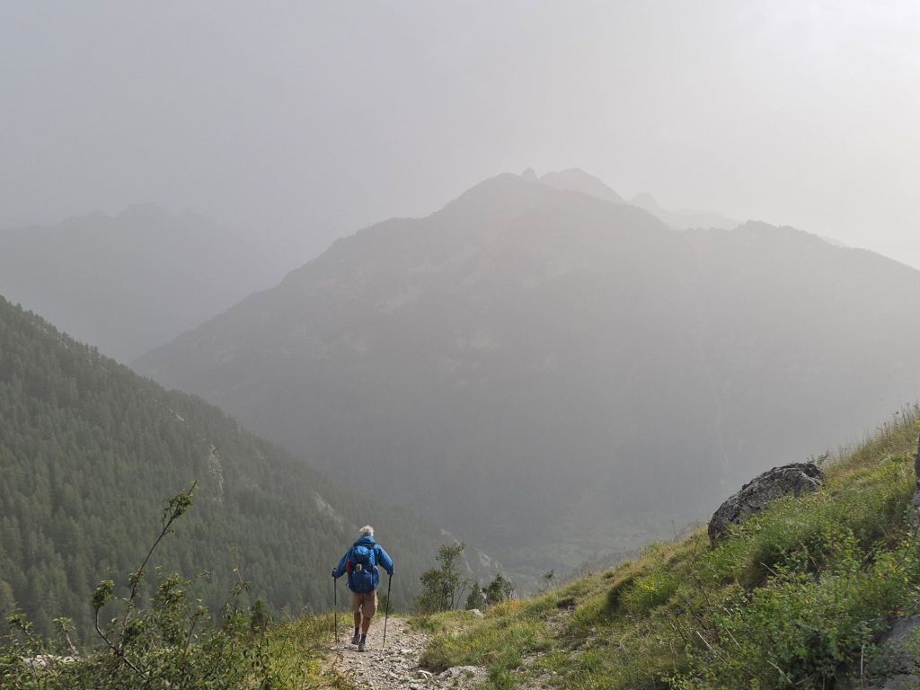
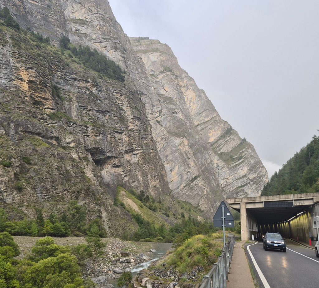
Slowly, we started to descend, but the wind didn’t let up until we were almost halfway down the mountain. Rain stopped and started throughout the descent. It was truly awful. The descent seemed to take forever, and we understood why once we finally reached the road below. Shear cliffs with a huge river flowing below.
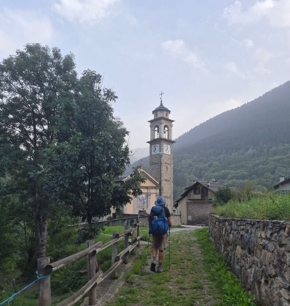
Exhausted and windswept, we arrived in Pontebernardo. With rain forecast for tomorrow, we decided to get a bed at the Mountain Lodge in the village.
There are now claps of thunder outside as I finish writing this. I think we made the right decision.
wow that was a scary day nearly getting blown off the mountain. Yes it sounds exhausting now. Take care. Xx
LikeLike
It was Sue. I cried at one point. But you just got to keep moving.
LikeLike