BEAUTIFUL RICHETLI PASS
VIA ALPINA DAY 41 – SATURDAY 1 AUGUST 2026
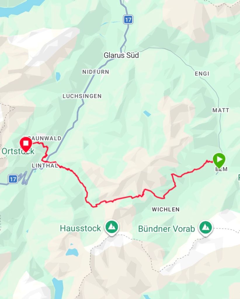
ELM –> NUSSBÜEL
DISTANCE HIKED: 31.70 km
ELEVATION GAIN: 2,182 m
996.75 km
TOTAL DISTANCE HIKED: 1037.80 km
TOTAL ELEVATION GAIN: 53,545m
The churchbells rang softly at 4am. I was awake already, having a quite cup of coffee in the dark. No great tasting Starbucks Via instant coffee here just bland Nescafe instant. The next churchbell at 5am didn’t hold back. It peeled loudly for a full five minutes. We were breaking camp so it didn’t bother us.
The trail started up through the forest right by where we camped. It was dark and wet in there until we rose up and onto a gravel road. The valley below looked to be still asleep, especially today being Swiss National Day and a public holiday. We reached the ski lift at Empachli, where a restaurant kitchen was busy with activity but was not yet open. I was dreaming of a good cup of coffee.
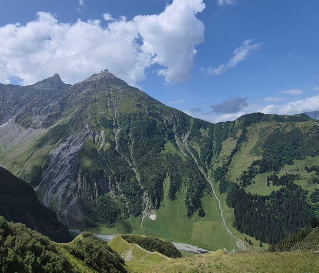
It was a beautiful morning, we were on a local gravel road with fantastic views of the surrounfing mountain tops being illuminated by the rising sun.
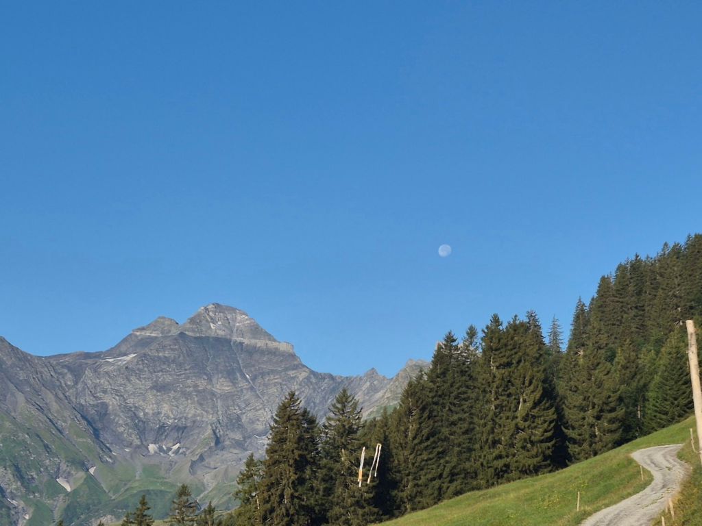


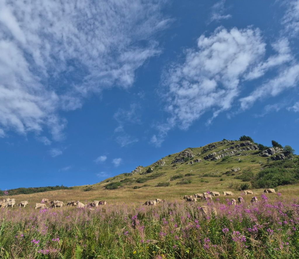


The trail was well made and offered great views of the valley in the morning light. We enjoyed the early morning walking and chatting about what we liked and what we didn’t like about this trail.
And just to prove that the universe provides, a farmhouse at Elm Oberebs was just opening its restaurant when we passed and yes they do have coffee and cake. What’s not to like about this trail. A coffee for me, a Coke for Hammer and we shared an apricot flan.
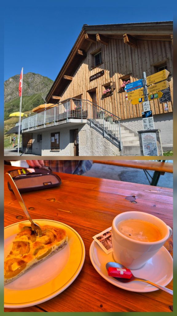
We were both properly caffeinated and ready to attack the 6km climb to Richetlipass at 2,251m .
The uphill slog was accompanied by a cowbell symphony. Down by a river below the trail there looked to be a photoshoot happening, using cows as a backdrop. Or maybe the cows were just there anyway.
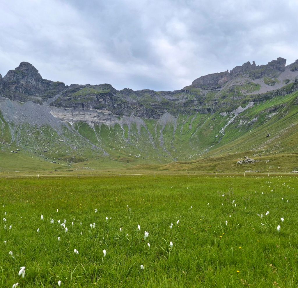
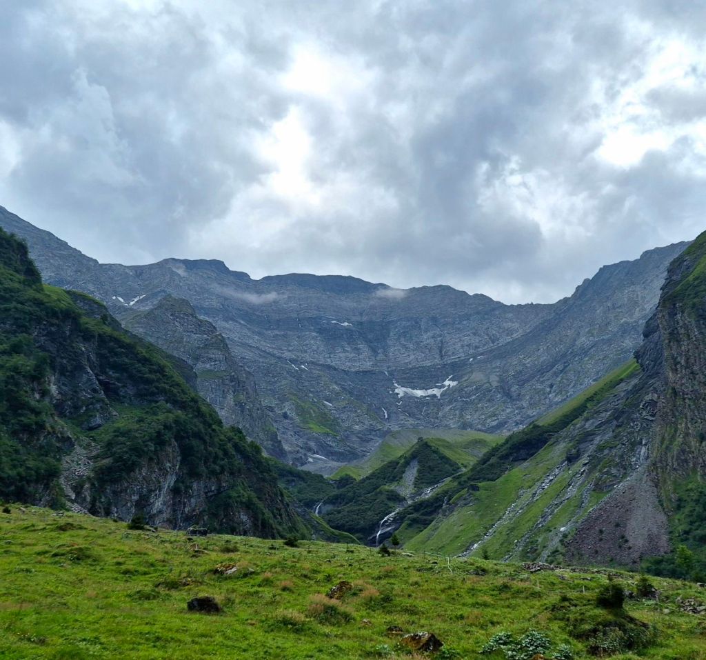
The ascent to Richetlipass was broken up by a small wetland valley in between the two uphill pitches. Everywhere you look was incredible landscape. And geology I couldn’t begin to understand.
We stopped for lunch at the pass. Breathtaking mountain peaks in every direction. And it was so still, no cold wind forcing us off the summit.

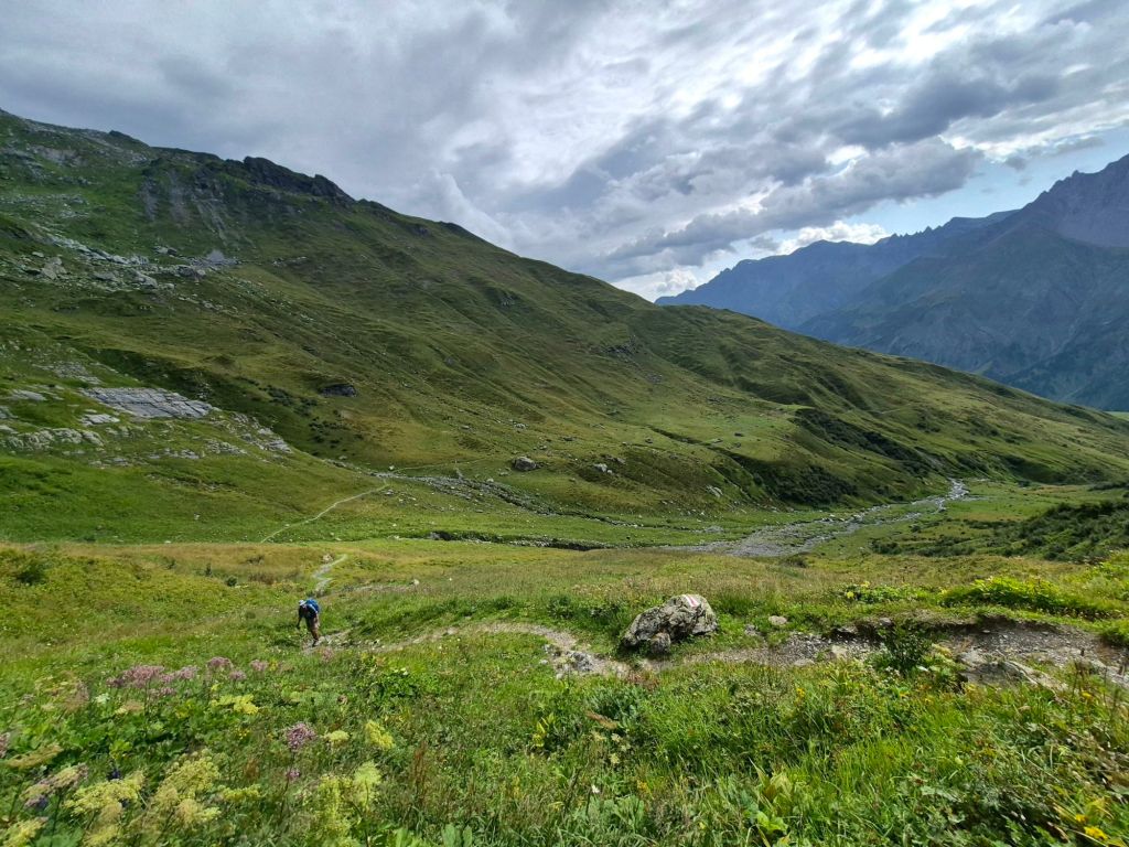
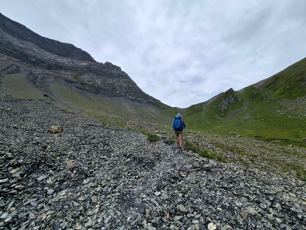

Lunch over it was time time to go down the pass. The trail down was wicked, technical and very steep making it very slippery. While the view of the surrounding peaks was just as captivating, it was hard to appreciate while looking down, focused on every step. It felt like it went on forever. As we got down into the valley the sky had cleared in one direction while the peaks remained wrapped in cotton candy clouds. Behind us were darkening skies threatening rain, which was predicted.
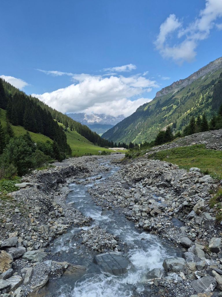
Once we reached the Dumagel River we followed it downstream on a wide forestry road. It was so nice to be to walk and look around at the changing mountains scape. It was so still and silent just the crunch of our shoes on the gravel road. Just as we were getting comfortable with the road walk, the trail diverted into a pine forest for a very steep slippery descent that again felt like it would never end. We really thought we would never make it to Linthal, our original destination today. But we did, church bells rang for a full 15 minutes to welcome us in. The town was quite except for a bit of movement around the train station (a train departing for Zurich was waiting!) and a huge busy carpark near the funicular railway. What took us by surprise was the sight of a huge glacier hanging above the upper valley of the town.




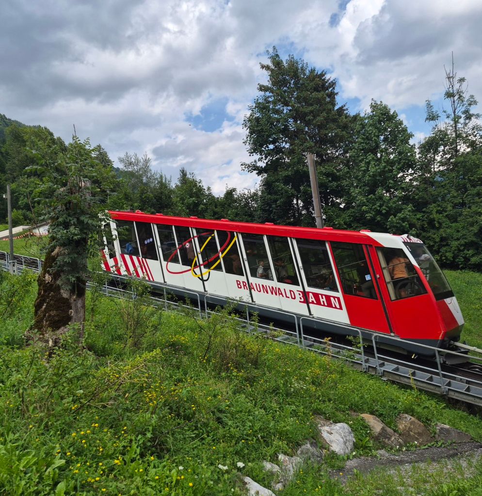
We wanted to get a cold drink but could not find anything open. But we did find a drink machine inside the departure station for the funicular railway. It was while having a cold drink Hammer said ‘maybe we should get the funicular rail up, saving us two hours of steep uphill grind’? The trail notes offer both options. But he very quickly changed his mind. So we hiked up 47 switchbacks over the 3km ascent to reach Braunwald. From here the trail leveled off and we were passing a spa resort, pastures and farmhouses. There were interesting photographs on small billboards along the way. They were part of a much larger Child Mountain World (Kind Berg Welt) exhibition featuring the works of Swiss photographer Emil Brunner. I’m not familiar with his work but the children’s clothing suggested the photos were taken in the 1940’s.

The darkening clouds which have been threatening rain finally delivered with a heavy downpour. We sat it out under our plastic ground sheet. Once the rain eased we continued hiking hoping to find a campspot. It proved a bit harder then expected as the trail is on a dirt road linking several villages, well below the treeline. With the return of heavier rain we found a level spot on leafy ground and got the tent up. It was a relief to get out of the rain.