RIDGETOPS
CDT Day 86: 25.5 miles (41 km)
CDT Mile 680.0 – 705.5
Thursday July 11, 2019

I woke up very early this morning. And rather then disturb Hammer I spent some quite time revising our hiking schedule for the remaing sections of the hike. I got a surprise when our estimated finishing date in Chama, New Mexico turned out to be the same date we are due to fly out of San Francisco. I shared this with Hammer when he woke up. Right he said…we just have to go quicker, start earlier and hike longer. Although there was not much point in doing that in this section of the hike, since we have to wait for the post office to open on Monday, we were packed and on our way by 5am.
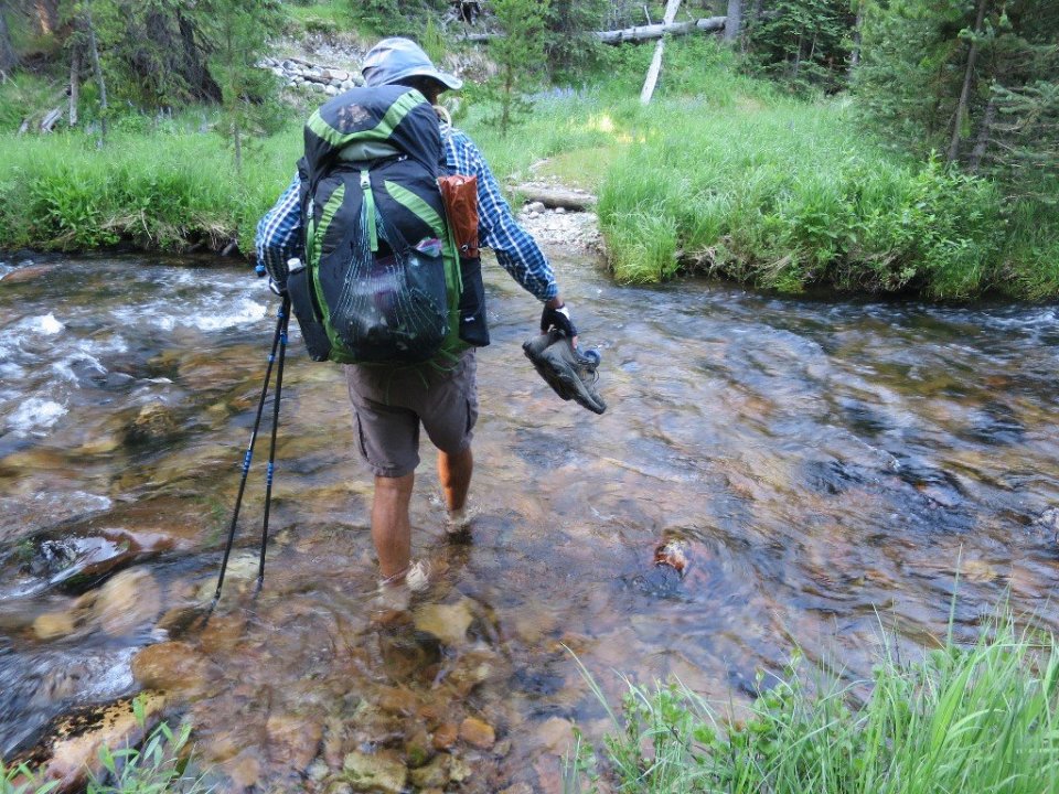
It was still dark and hard to tell when the sun will rise as we were walking through tall pine forest. It was easy hiking on undulating terrain. Glimpses of sunrise cast deep shadows where the forest opened up. We had to take our shoes off for two knee deep creek crossings. The first one we crossed in the dark. The water temperature was not too unpleasant.
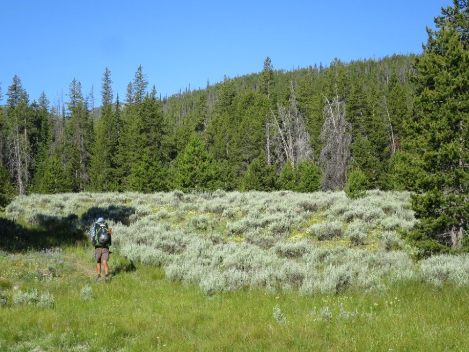
The trail was interwoven between pine forest and open meadows covered with our old friend sage brush. Almost nice to see it again. We stopped for breakfast in the sun in one of these meadows. It was lovely. Almost a shame to go back into the forest. The trail followed a creek for a few miles and eventually turned away to go up and over a pass.
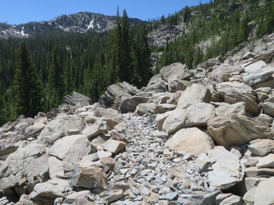
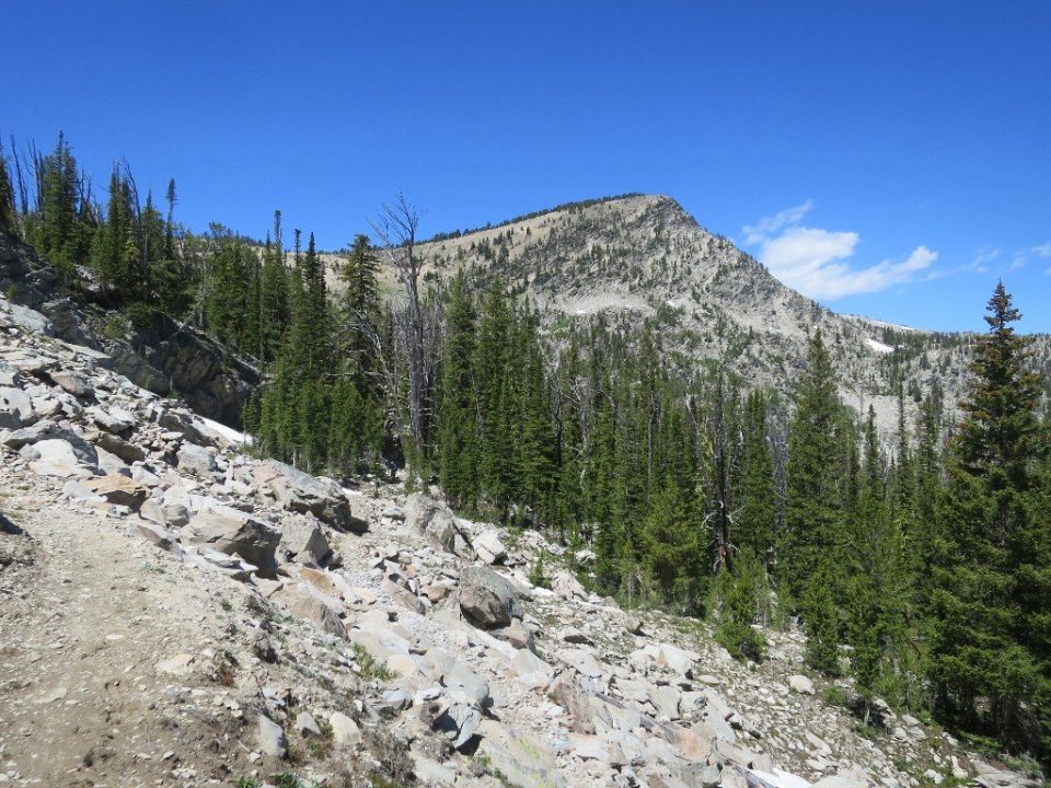
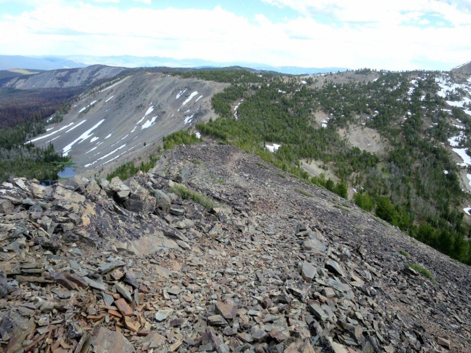
The sky was clear with a few marshmallow clouds. It was nice to start climbing out of the forest up to the pass through a rock field. Fantastic distant views down a valley towards the Big Bowl. Climbing always seems easier when there are nice views. Once exposed to the sun on the switchbacks to the top I could feel a real summery heat, with a cooling g breeze coming off the mountains. Bees were buzzing, crickets and cicadas chirping. Finely a real summertime feel in the air, it felt fantastic.

So it was a surprise to find the top of the pass still under snow. It was a bit of a rock scramble but not a big problem getting around. It was even more of a surprise to find that our next water source is 52 miles away. A couple comments from other hikers suggest that water may be available at a couple of locations before that. Not sure if this is true, we filled up with 6 litres and hoped it would be good enough.
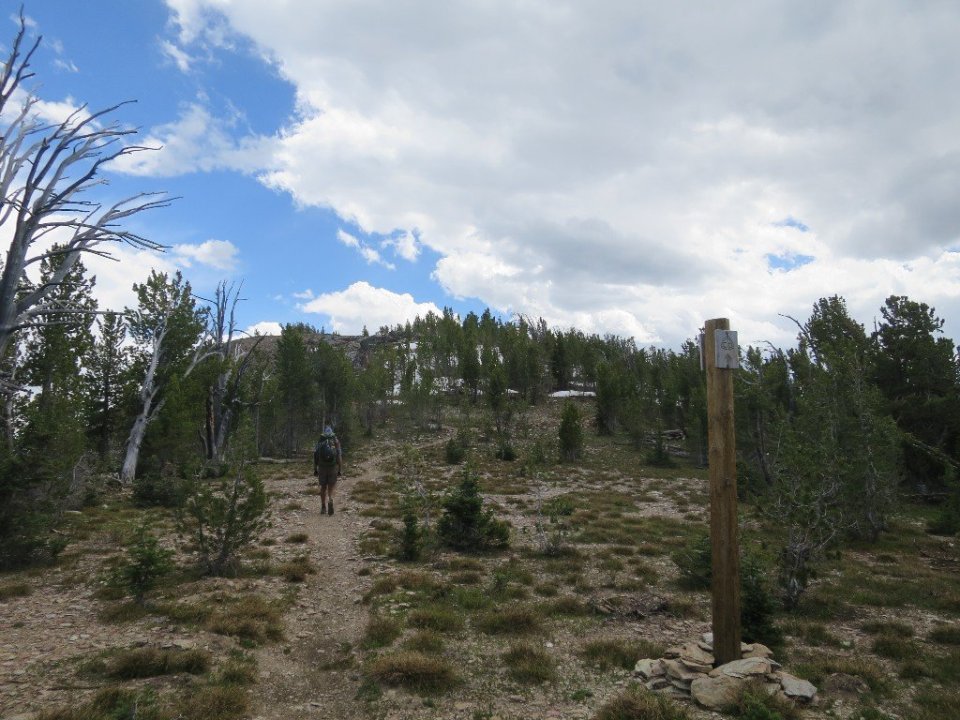

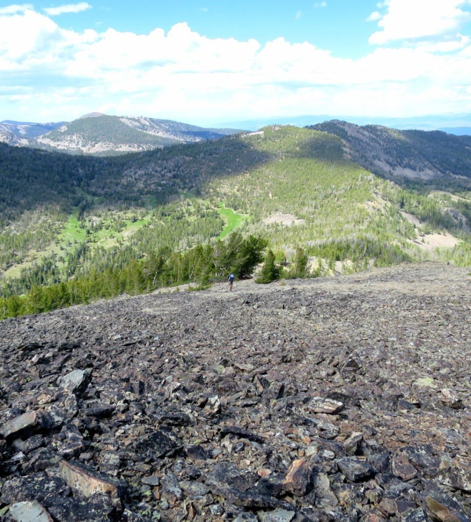
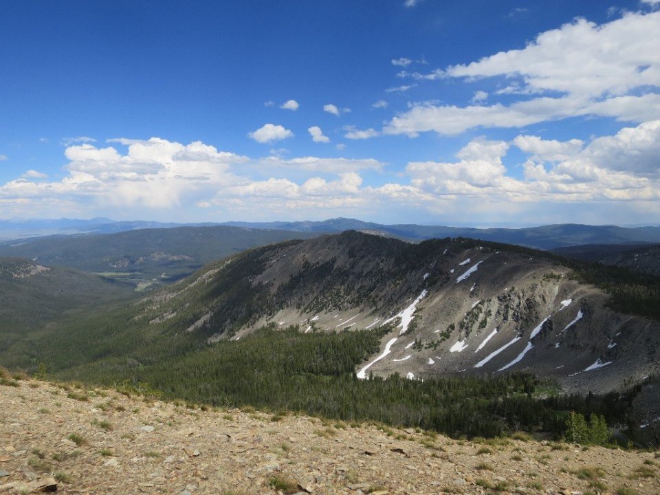
We had great views of rocky ridges in all directions. There was a small descent before we climbed another ridge with even better views towards Jahnke Lake and a deep green valley.
From here we stayed on a ridgetop for the rest of the day. It was undulating and at times steep climbs and descents on a ridge and in brilliant sunshine. It was superb. Hiking along ridgetops will forever remind me of hiking in Montana – love it.


It looks like there is a race on the trail soon as the course was marked by ribbons held by reflector pegs. We saw a sign later on for the Beaverhead 100k. Not sure if it’s on this Saturday or Sunday. We were lucky to find at one road crossing huge containers of fresh water, probably dropped off for the race. So we topped up our supply.

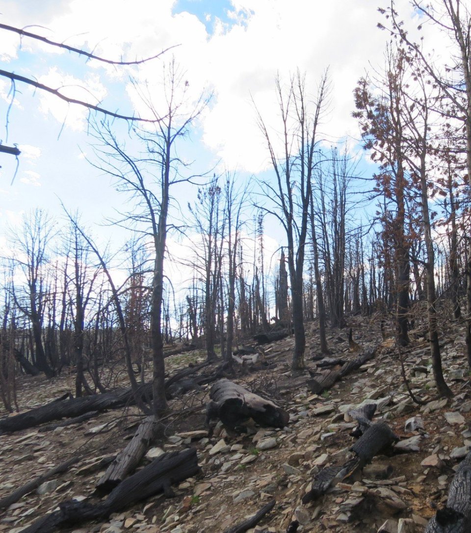
Towards the end of the day we entered a burn area. It was extensive and severe. We were on a ridge at 9,000 feet and the trail will stay on this ridge for some time. We stopped for the day at the first flat and unburnt area.