LEAVING SLOVENIA
VIA ALPINA DAY 10 – WEDNESDAY 1 JULY 2026
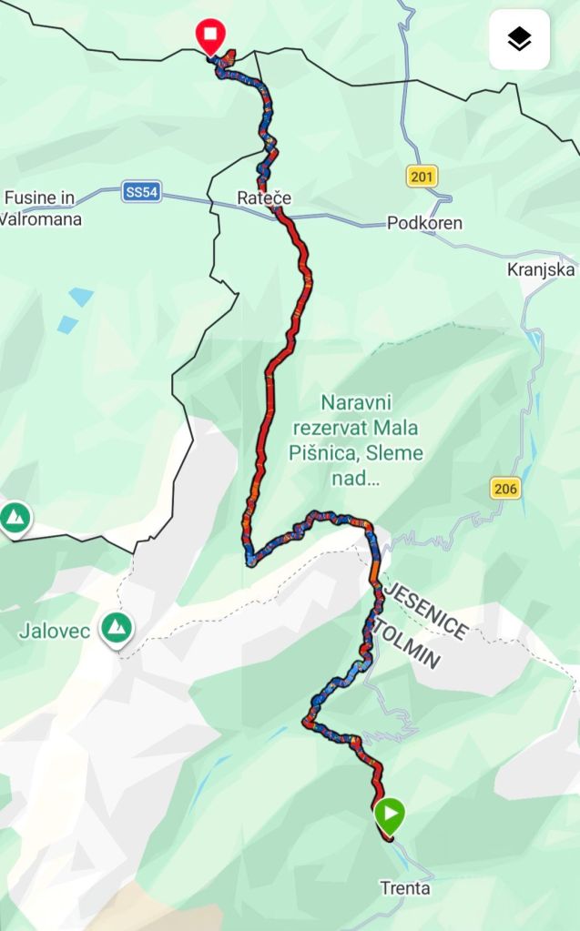
TRENTA TO MONTE COMIZZA
DISTANCE HIKED: 27 km
ELEVATION GAIN: 1,685 m
TOTAL DISTANCE HIKED: 242.1 km
TOTAL ELEVATION GAIN: 12,270 m
Took a while for the campground to settle last night. But once it did, the sound of the Soča River lulled me to sleep. Hammer unbothered by the noise, was fast asleep hours earlier.
We left the campground about 5.30 before anybody stirred. We were disappointed that the camp restaurant won’t open till 8am with coffee and freshly baked croissants on offer. I can only dream, maybe another time. We were keen to get some hiking done before the heat sets in.
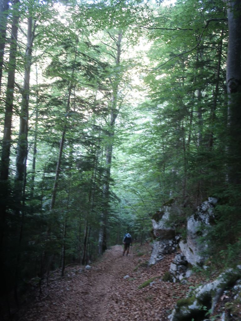
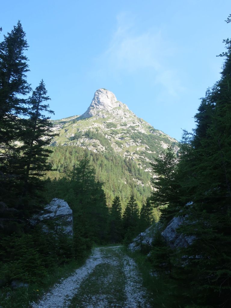
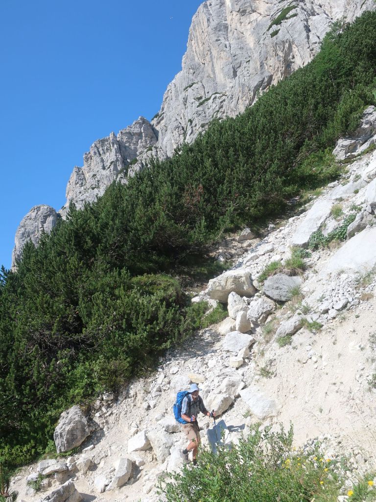
We had a cool start to the day. Despite the trail rising continually , in the cool of the morning it did not feel so bad. Quite an enjoyable couple of hours rising out of the Trenta Valley.
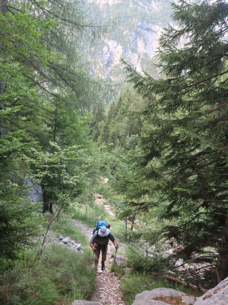
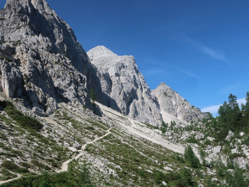
We made the summit of Mt Vrsić just before 9am. So surprised to see a hive of activity especially after the quite of the forest walk. Cars, pedestrians, cyclists, road building crew and sheep amongst it all. It is a very popular summit for photos looking back towards the Trenta valley.. We were joined on trail by dozens of hikers hiking a loop from the carpark.
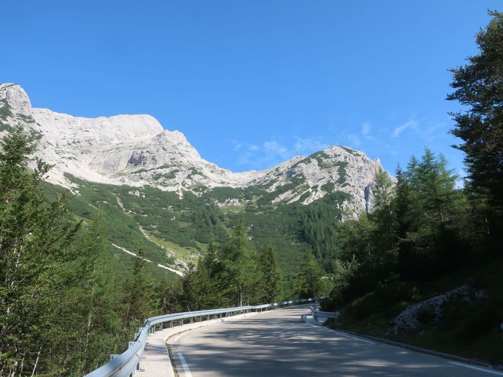
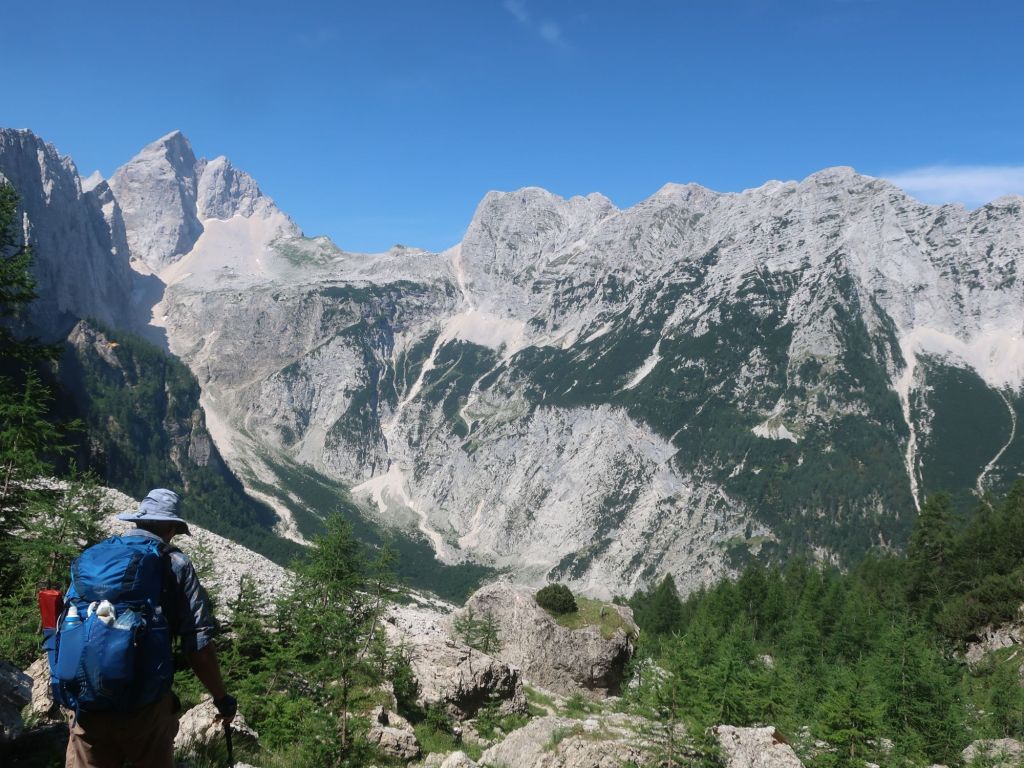
By now it was very warm especially with the sun on our backs. We were keen to leave the crowds behind and finish the rest of the morning climb. We could see amazing sheer limestone walls soaring towards the sky, as we wound our way up the slope. It was slow going with the sun our backs.
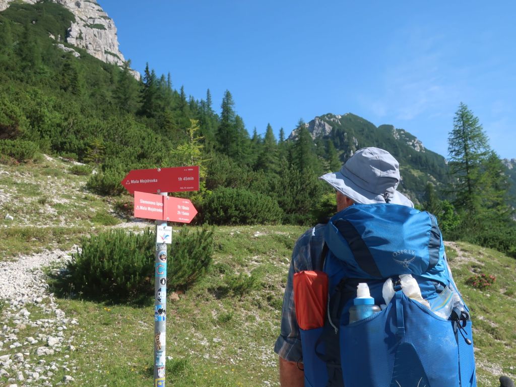
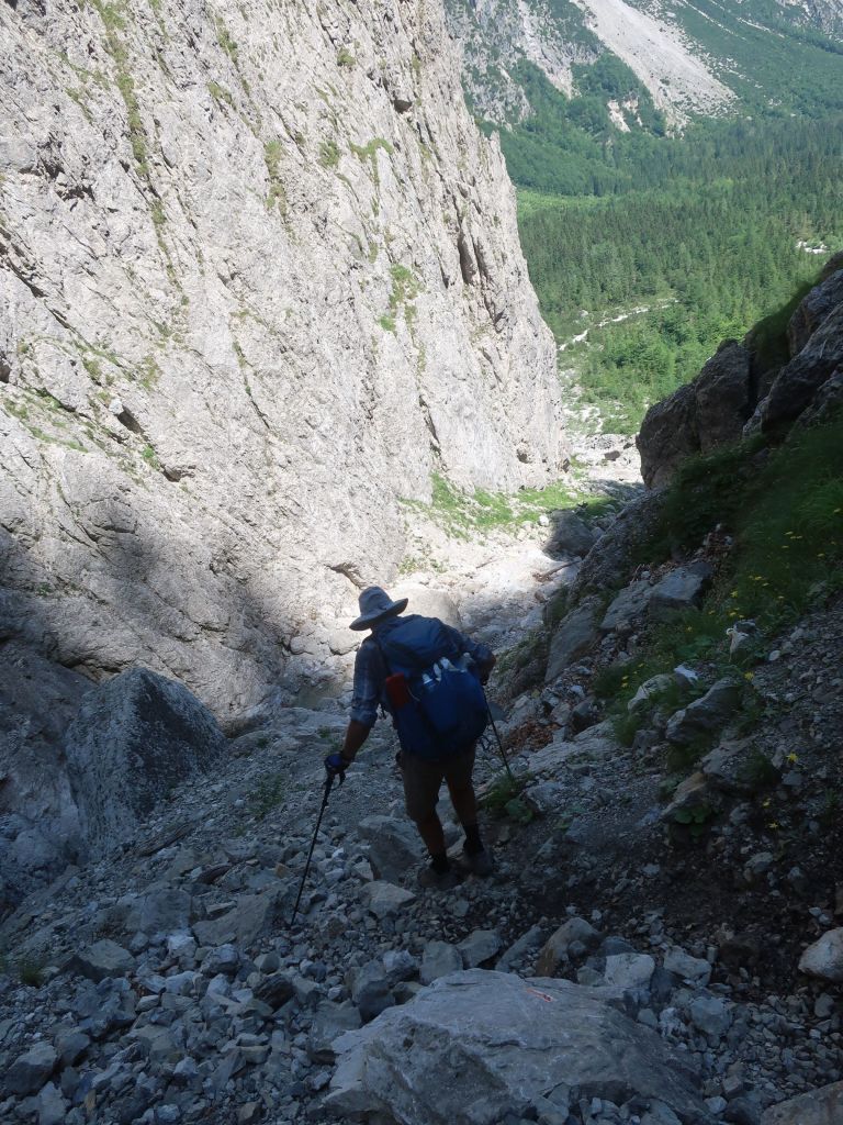
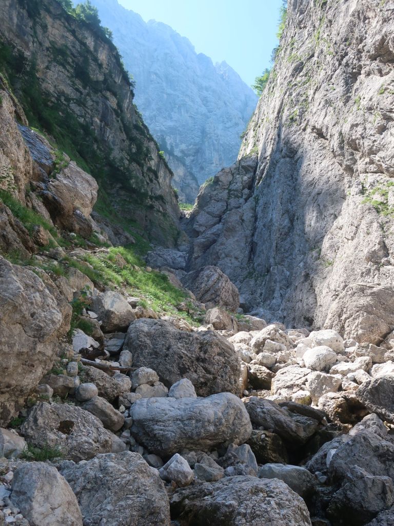
Leaving the day hikers behind we started the descent towards Mountain Hut Tamar. This turned out to be a steep and technical descent into a very narrow V shaped glacial canyon. Hammer led the way and with my heart in my throat I slowly followed. The loose scree was very slippery and even getting down on my backside to descent it was still nerve wrecking. Slowly we made our way through the most difficult section and followed a crystal clear creek towards the Hut. It seems that Slovenia left this one last tricky traverse to challenge us to the end.
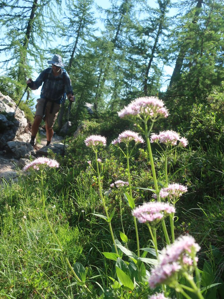
Arriving at the hut was another surprise, it was packed with families with young kids out for a day on their bikes. It’s the most people we’ve seen in one place on this trail. Despite the crowd we had to stop for lunch as we didn’t know what was ahead. We had a traditional Slovenian dish of bean soup with sausage. It felt heavy on such a warm day but we enjoyed it all the same.
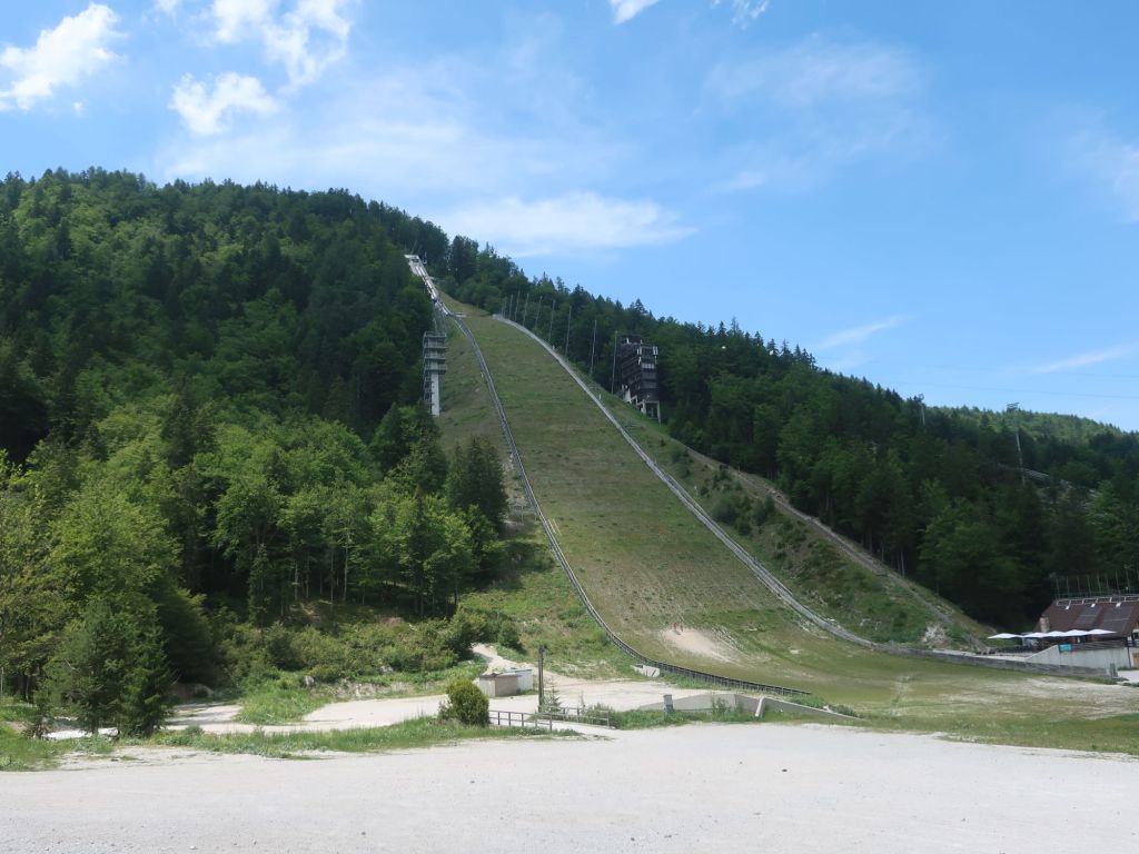
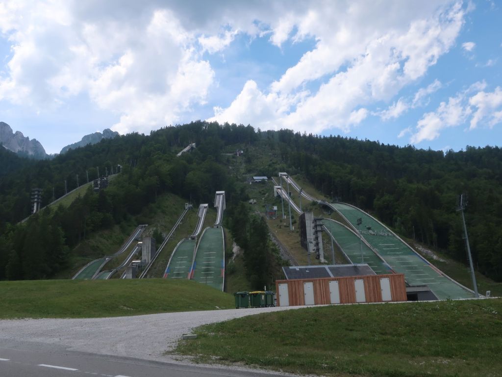
With full bellies we continued on towards a huge Ski Centre shown on our map. We were on a wide dirt road with the sun beating down. It was hot and uncomfortable. The Ski centre was very impressive, both the design of the main building and the numerous ski jump platforms. It was very quite when we passed through but it must be hopping in winter.
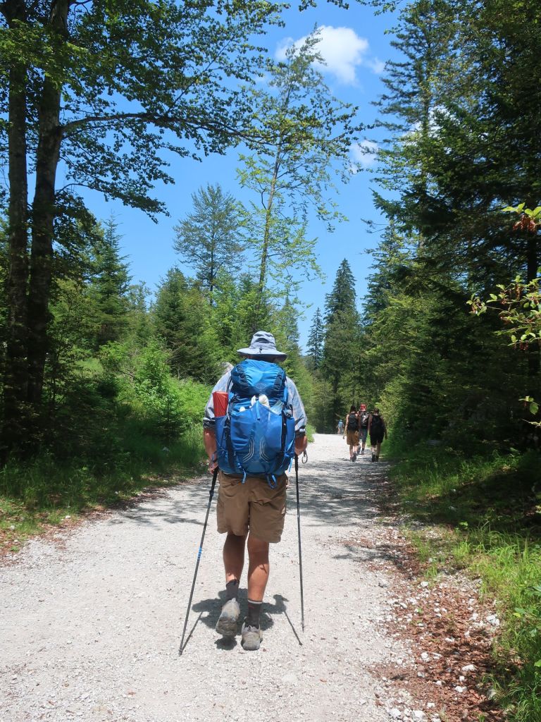
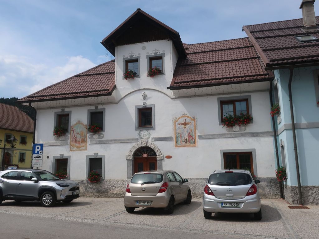
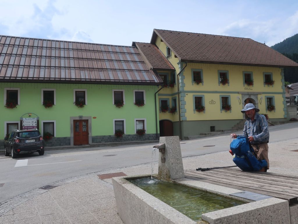
From here we followed another trail through Raćete a beautiful small town located on the border between Slovenia , Austria and Italy. . We got some snacks from the small supermarket in town before rejoining the trail and continuing on into Austria.
By late afternoon the sky had turned and inky blue and we could hear rolling thunder in the distance. Thinking it will probably be like yesterday afternoon and not amount to much, if any rain, so we hiked on. Well we got that wrong. Thunder and lightening got closer and within minutes it was pouring rain.
Hammer got out our ground sheet and we sat under it hoping the rain wouldn’t last. Lightening and thunder with heavy rain lasted for about 30 minutes. We used the slight easing in the rain to get the tent up and get under cover. Temperature had dropped and the rain returned. Nice to be dry and under cover, tucked up in a warm sleeping bag. Big Agnes Hilton to the rescue, once again. What a way to finish our visit to Slovenia and start the approx 440 km stage through Austria.
oh, we were these day tourists climbing Mt Vrsic!
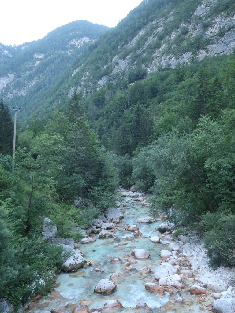
and the colour of Soça river is just amazing, isn’t it?
LikeLiked by 1 person
Hi Julia
The colour of the water is amazing. In Idjria from the bridge we could see a few largish trout right in the town. There were lots of people around the trails of Mount Vrsic.
LikeLike