LONG COUNTRY ROAD
CDT Day 112: 19 miles / 30.5km
CDT SOBO: Mile 1552.5 – 1582.5
(11 miles on Highway 40 & Highway 14 + 19 miles hiking on trail)
Tuesday August 6, 2019
The CDT is a work in progress. South of Rabbit Ears Pass, where we got off trail yesterday, the CDT follows Hwy 40 and then Hwy 14 for a combined 11 miles on bitumen before turning onto a Forestry Services dirt road. Justin, whom we met at the Big Agnes store yesterday, warned us about this road section. It is dangerous as it has little shoulder and a 70 mile speed limit in sections.
We contemplated hitching all the way to the Forestry road junction, but first we needed to get a ride out of Steamboat Springs. Because of yesterday, I was dreading the experience.

Hammer had a chance to sleep in this morning. I wake up at the same time regardless of when I go to sleep. This morning I was itching to go for a run, just to move freely and unencumbered by a big pack. The area we hiked through coming into Steamboat Springs is home to the Run Rabbit Run 50 & 100 mile trail race. I would have loved to have stayed in Steamboat a little longer to explore the area more. It looks like such a lovely town.
We had a leisurely breakfast at the hotel and were packed and headed reluctantly out the door about 9.15 am.
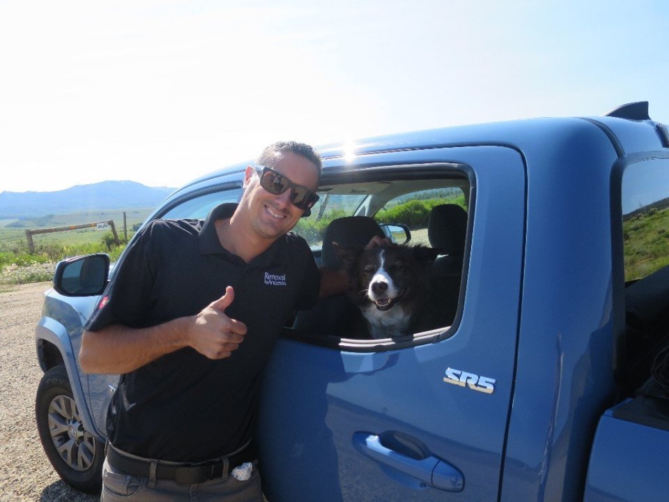
The hotel is right on Highway 40 so we didn’t have far to go far to find a spot to start hitching. And just like yesterday drivers were ignoring us which may have had something to do with speed they were going. An occasional driver would wave or shrug their shoulders. And in less then 15-20 minutes a car stopped. The universe provided a gem of a human, Nick and his beautiful and gentle dog Saddie. And to our surprise and absolute amazement he was going to take Highway 14, route he said he seldom takes. Today was our lucky day as he was on his way to Walden to install these special titanium oxide glass windows on a house. He lives in Steamboat and in his 20’s had travelled and sailed extensively around Australia, New Zealand and the Asia Pacific. And to top it off he liked the Australian cricket team and the New Zealnd All Blacks rugby team. That was enough to make him and honorary Australian/New Zealander.
We could not believe our luck. He dropped us off at the Forestry Services Road 103 at 10.15am. We were ever so grateful to have been spared having to walk this section of a busy Highway.
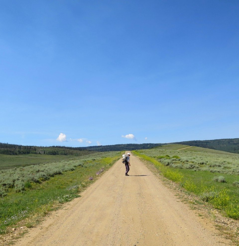
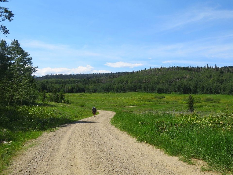
The dirt road was in great condition and we started walking with a spring in our step. It was a warm morning already with top temperature approaching 90°F (around 30°C) later in the day.
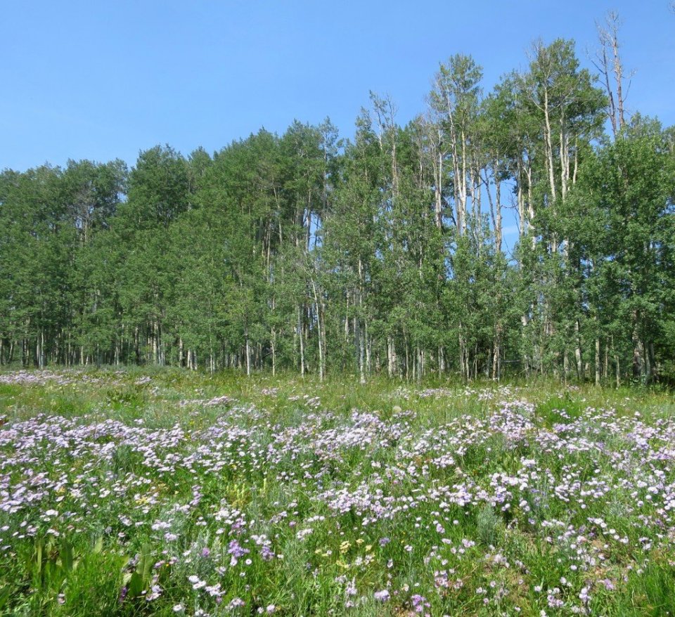
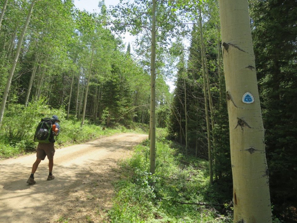
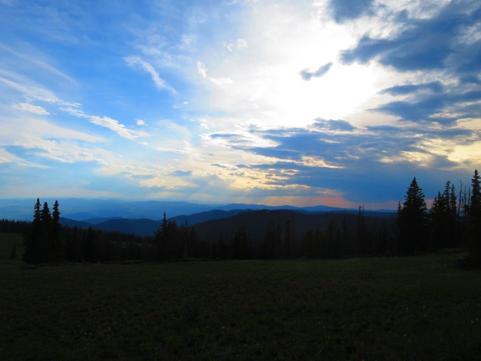
It was a beautiful summery day, with the hum of bees breaking the silence. There was a sweet citrusy smell coming off the wildflowers once we left the grazing cows behind. Aspen trees gave off the gentle rainstick tinkling sound when the wind rustled through the trees. It was like hiking though an idyllic country road. Albeit one that started to rise gradually and then very steeply. We climbed close to 3,000 feet/1,000m in elevation over about 12 miles/18km.
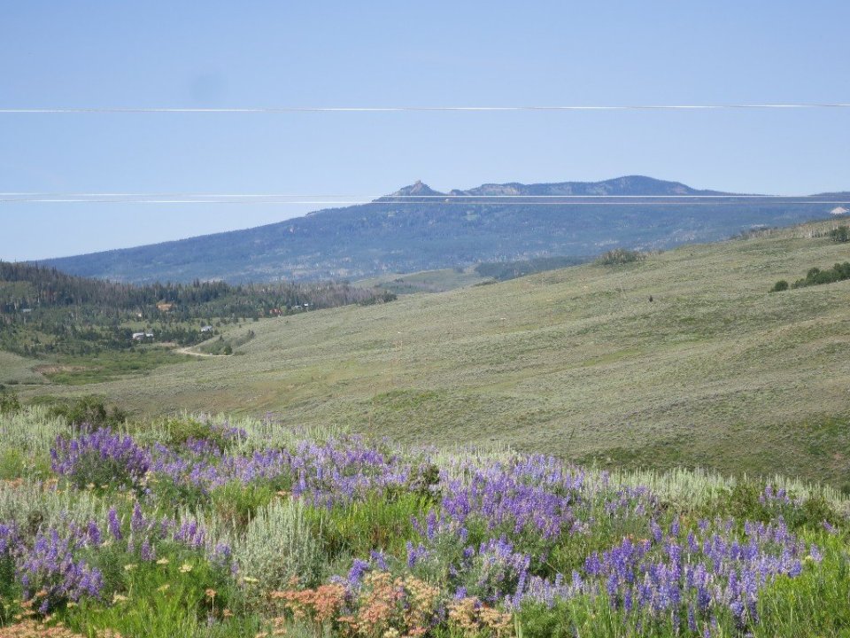

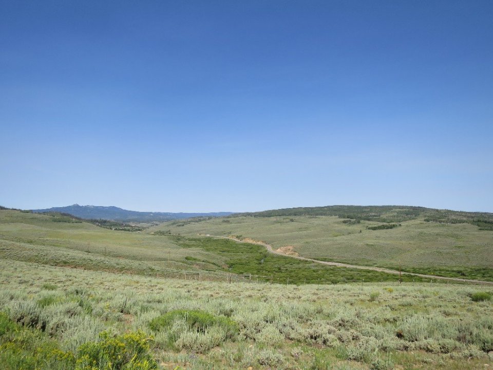
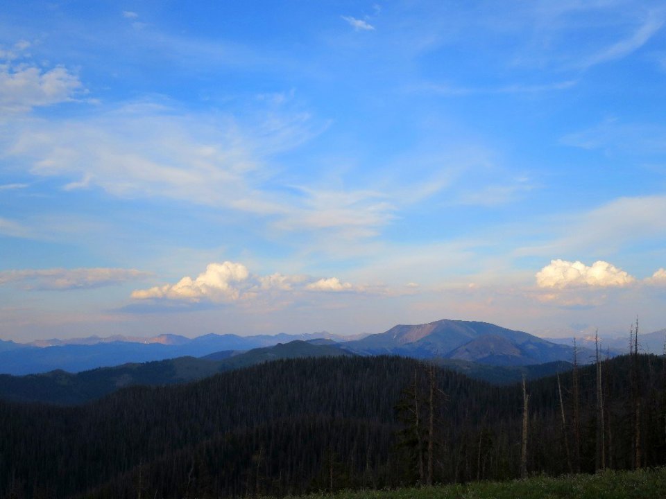
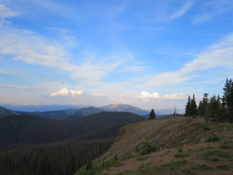
Once we got to the top, the trail followed a ridge and we had great views east towards the Rabbit Ear Range and west over a huge valley floor that was covered in a what looked heat haze.

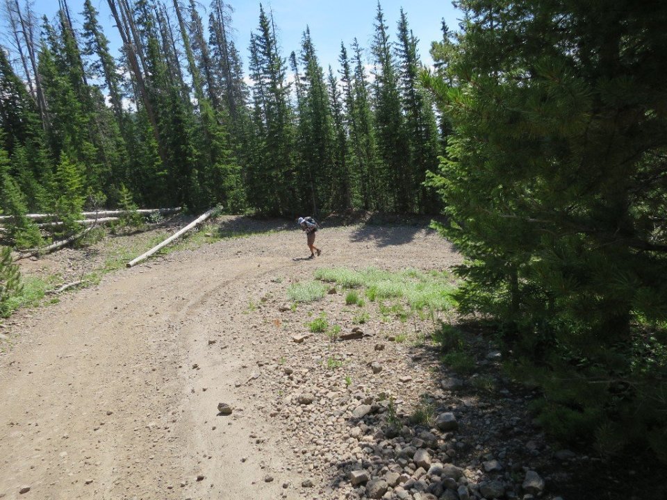
Towards the end of the day we started to descend towards the Middle Fork Arapaho Creek. The forest started to close in around us with the towering pines blocking out much of the late afternoon light. The trail was rough and in need of work. There were quite a few blowdowns blocking the trail. We stopped before it got too dark and set up camp just above the creek.
