LEAVING MUGGIA
VIA ALPINA – DAY 01: MONDAY, 22 JUNE 2026
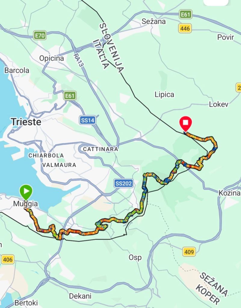
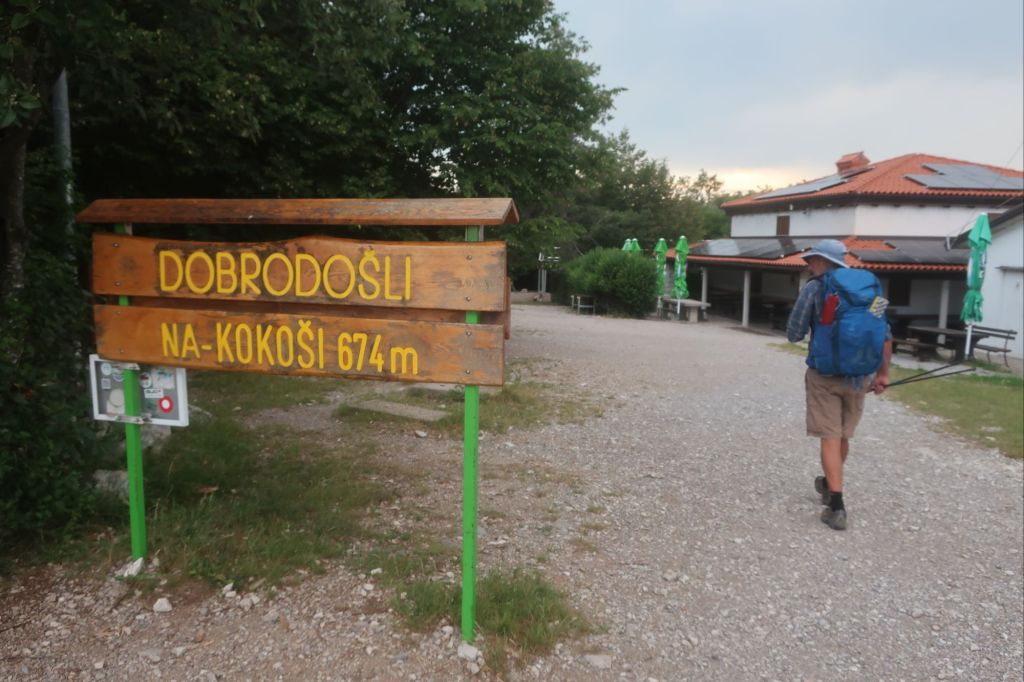
MUGGIA TO PLANINSKI DOM KOKOṢ̌
DISTANCE HIKED: 27.6km
ELEVATION GAIN: 1350m
TOTAL DISTANCE HIKED: 27.6km
TOTAL ELEVATION GAIN: 1350m
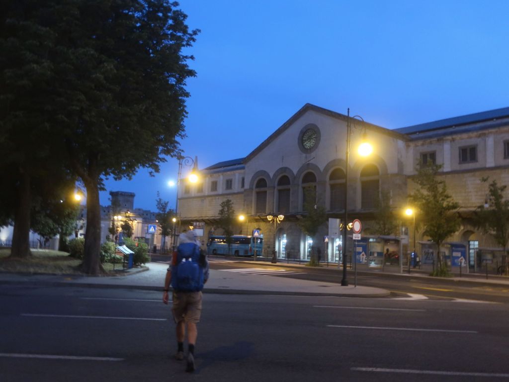
We woke before the 4am alarm. Early start to try beat the heat and take advantage of the cooler weather in the morning.
It was twilight and already warm as we left the hotel to get the 5am bus to Muggia where the trail commences. We were not alone on the 5am bus. We were surprised that the bus filled up very quickly with locals going off to work.
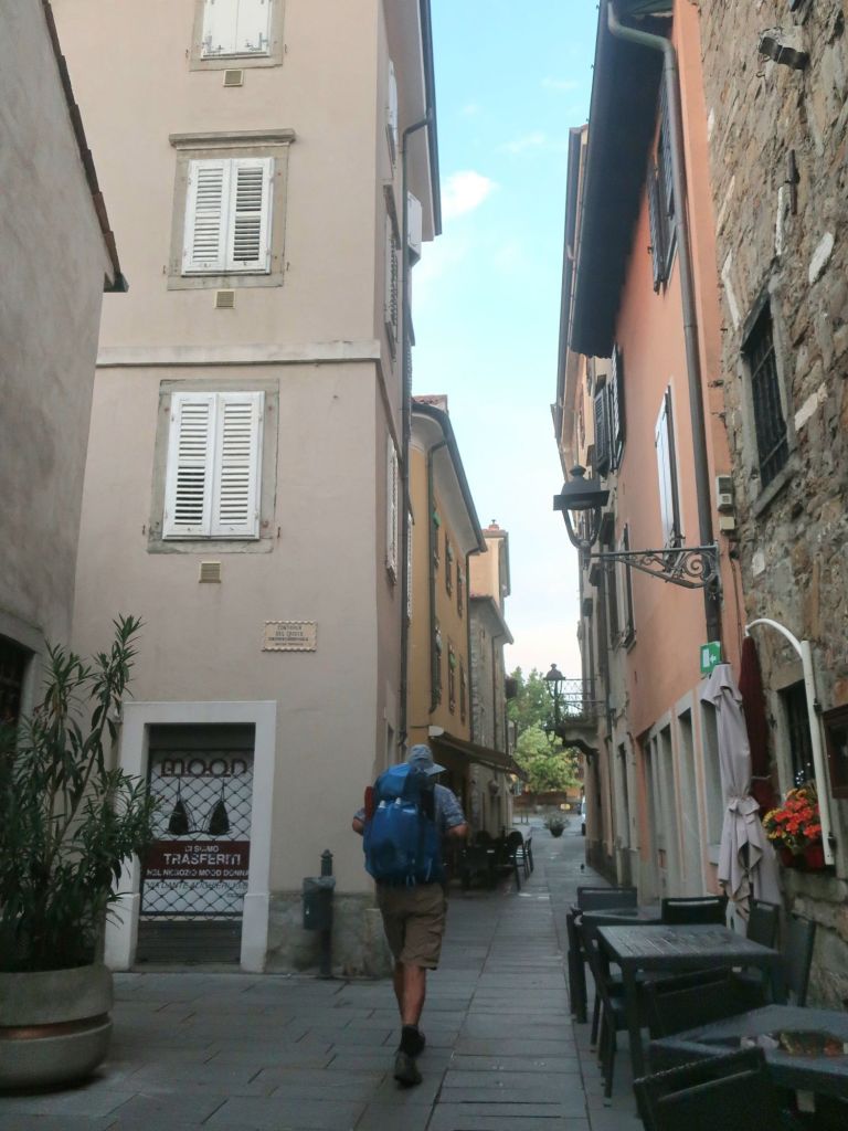
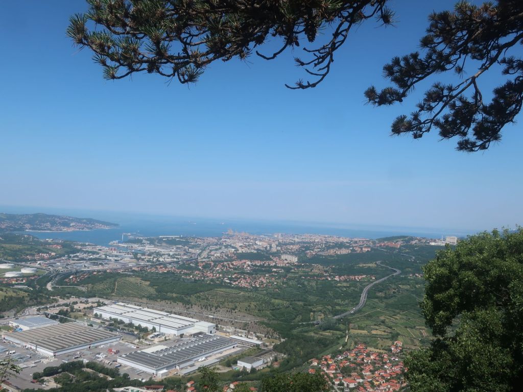
So nice to see the sun rising up over the hills to our left. Shades of pink and yellow and orange. Muggia looks like a lovely small town. Being so early the streets were empty. We wondered around looking for the town square where the trail officially commences. We couldn’t find any markers so we went to the Tourist office, took our trail start photos there and hit the road.
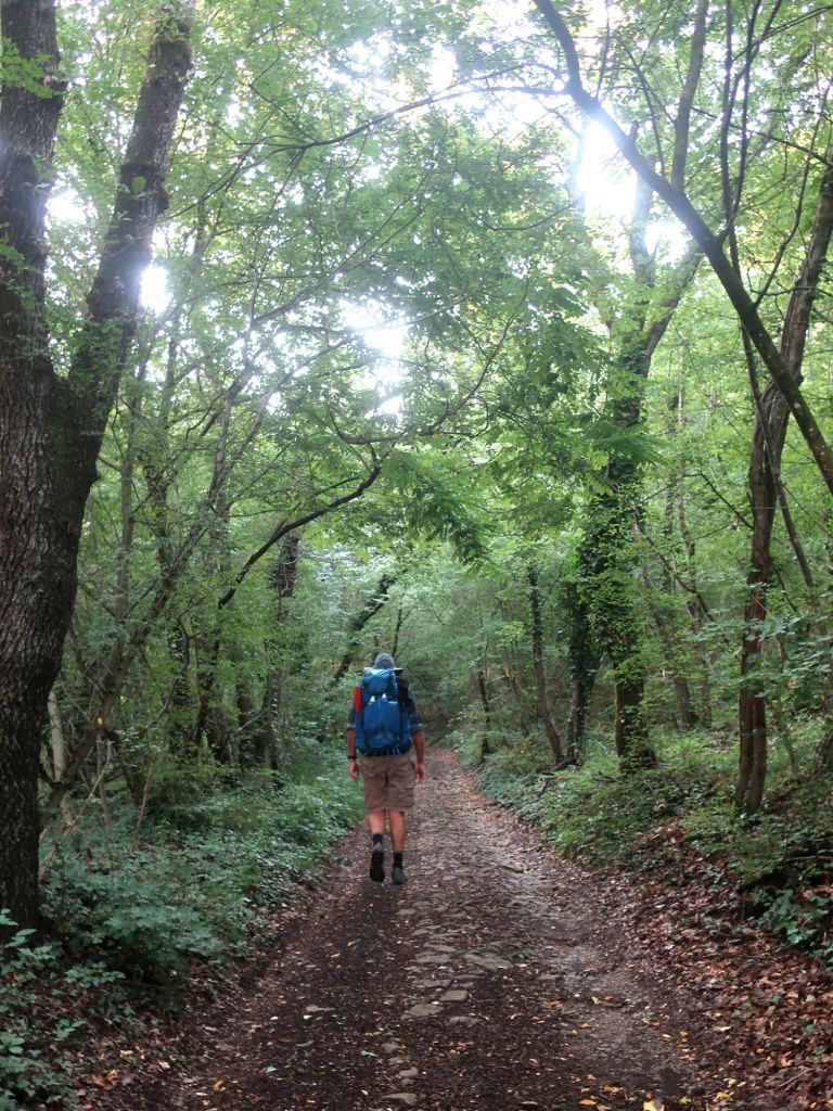
We were on our way for the long sweaty climb out of Muggia and up into the hills above the town. This section is similar to the Camino where you are following the arrows through a residential area. About 3 kilometres in, we went off the road and into a lovely forested cool and shady gravel path, which we followed for the next half hour or so. NIce to leave the houses behind and enter the forest. The birds were twittering but the hum of the industrial noise drowned out their song.
We found this section of trail to Rifugio Permuda was really well marked. What looked like fresh, red and white stripes on just about every intersection.
Apart from the constant hum of traffic, another more beautiful sound – ringing of church bells on the hour – was announcing our progress.
We missed making 10 miles by 10am, we managed 9 miles by 10am. We were not too disappointed, considering the heat and the gradual uphill.
By the time we started the perilous descent towards Rifugio Permuda we had seen only one hiker and one trail runner. The hiker was on his last day of a month long hike of the Via Alpina Blue Trail.
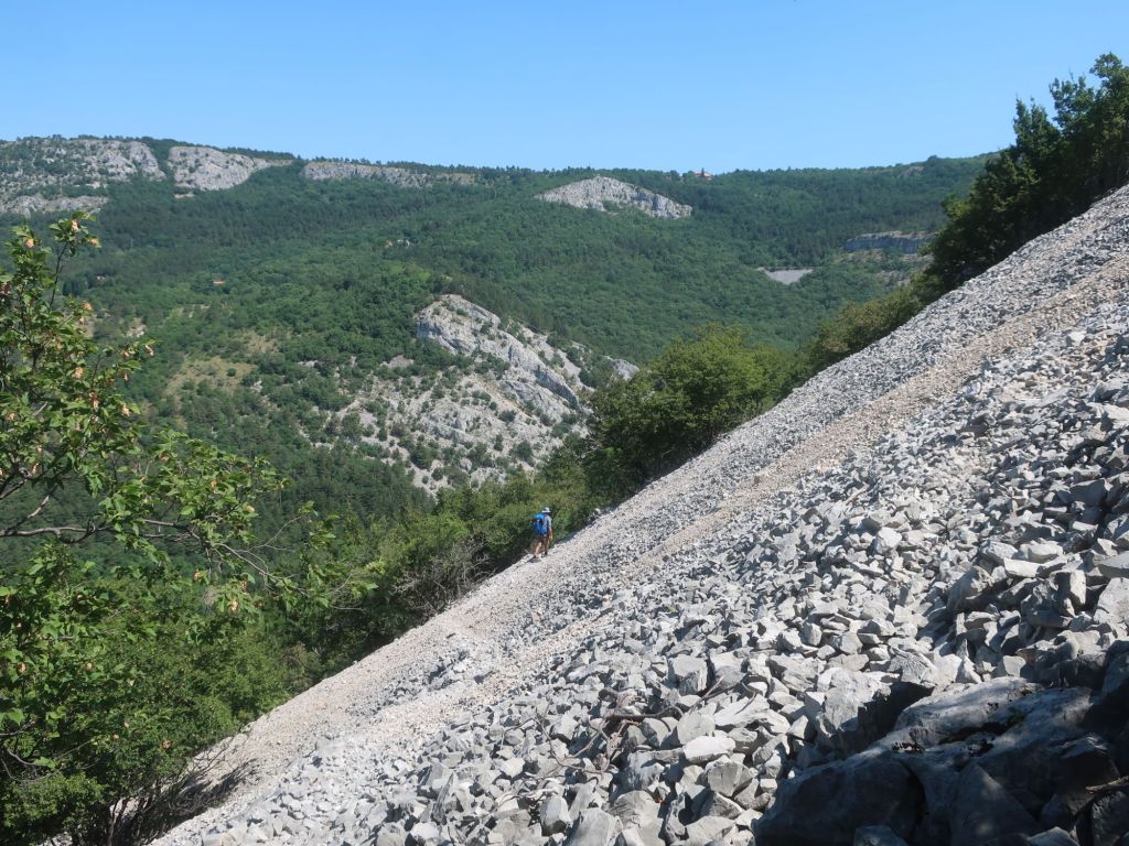
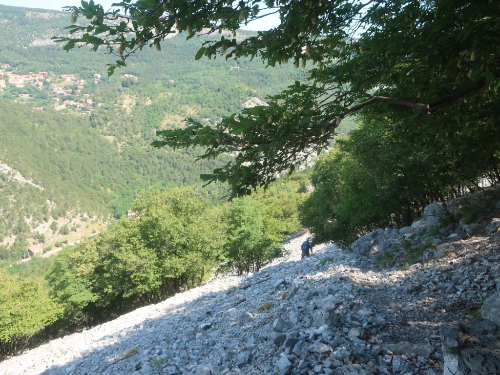
The descent to Rifugio Permuda took us over and hour to cover the last kilometre and a half of Section R1. Steep descent on loose limestone scree. It was steep and slippery and really uncomfortable in the heat.
It was midday by the time we reached the Rifugio. We took a break here and got some cold drinks and ice and refilled our water bottles.
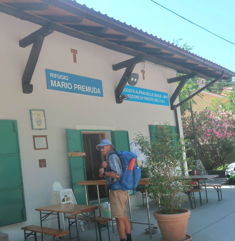
We had to head back on the trail before the temptation to linger longer came upon us
From the Rifugio the constant hum of the city was replaced by the sound of a river flowing in a narrow valley. As we wound our way up and away from the river, the heat was stifling. Sweat was pouring off our bodies. We have already drunk 6 litres of water between us and yet the thirst was constant.
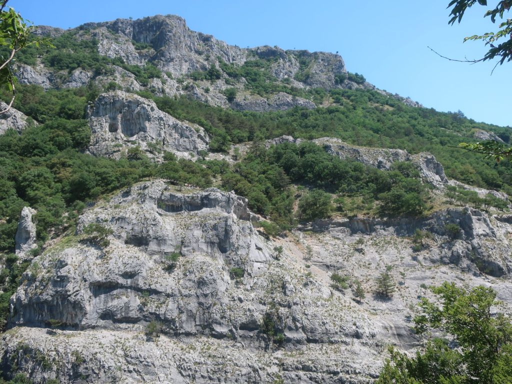
As we left the river behind and stared another sharp uphill rocky traverse and occasional breeze sprung up offering some relief from the intense heat.
As the afternoon progressed and fatigue started to set in, we’re both struggling. By 3pm we covered 21 km and we were cooked. Hammer was keen to stop.
Considering our options, we’ve got 5 km to get to a refuge and the end of section R2. It’s just a question of whether we’ve got enough water to go for the next 2 hours, it’s going to take us to get there. It is hot, hot hot.
We sat in the shade for a bit, got water bottles refilled from a restaurant. And after half an hour to cool down we pushed on to the end of stage R2.
At about 25km mark we though we seeing a mirage – a water fountain, right by the trail. Delicious cold water – we drank like thirsty camels. It was only the mosquitos that made us move along. What a godsend. Just a bit before we got to the fountain we had entered Slovenia.
As we were approaching the end of Section R2, the sound of rolling thunder was getting close. By the time we called it a day light rain had started to fall. We found a nice campsite out of sight. It was the best feeling in the world to get horizontal. As we lie here in the tent, light rain is falling and it’s still stinking hot.