WEST BRANCH PLEASANT RIVER
AT Day 102: Tuesday, July 18, 2023
Campsite – Carl Newhall Lean-to Campsite
Mile 2104 – 2120
Distance Hiked – 16 miles/25.7 km
Total Distance Hiked:1696.8 miles /2730 km
A: 3448 ft /1052m D:3468 ft /1058m
Dreams of the upcoming crossing of the West Branch Pleasant River kept waking me up through the night. A southbound hiker we met yesterday called it scatchy. We are hoping that a day without rain yesterday should bring the water levels down a bit. The alternative to crossing the river is a 12 mile detour which we really didn’t want to have to do.
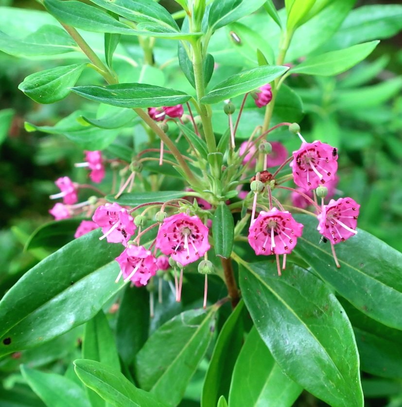
It was a beautiful start to the morning. The sun was out we were hiking through piney woods, trail was mostly dry to start with. Not far from our campsite was a boggy marsh which we crossed on a boardwalk. Pitcher plants growing in circular clusters lined the boardwalk.


Just before the summit of Fourth Chairback Mountain we hiked past a plane crash site. The crash happened in the 1980s and the father and son who were on the plane, survived and walked out the next day. The wreck is in a remarkably good condition.

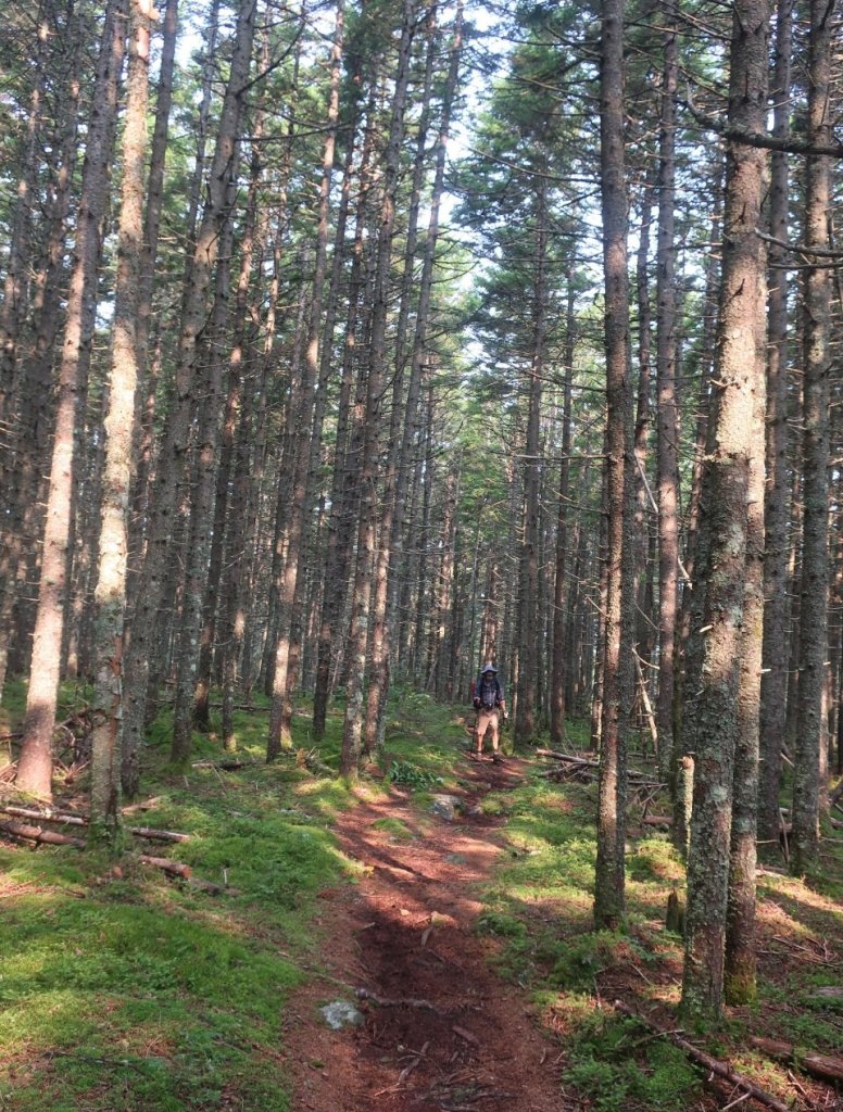
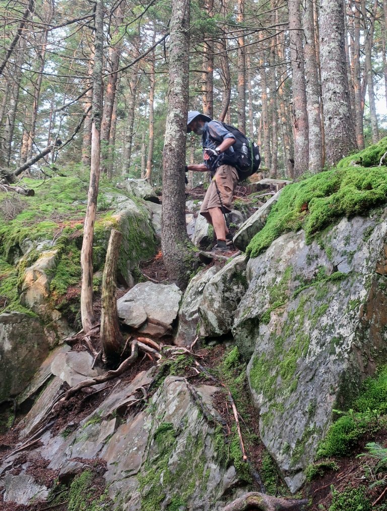
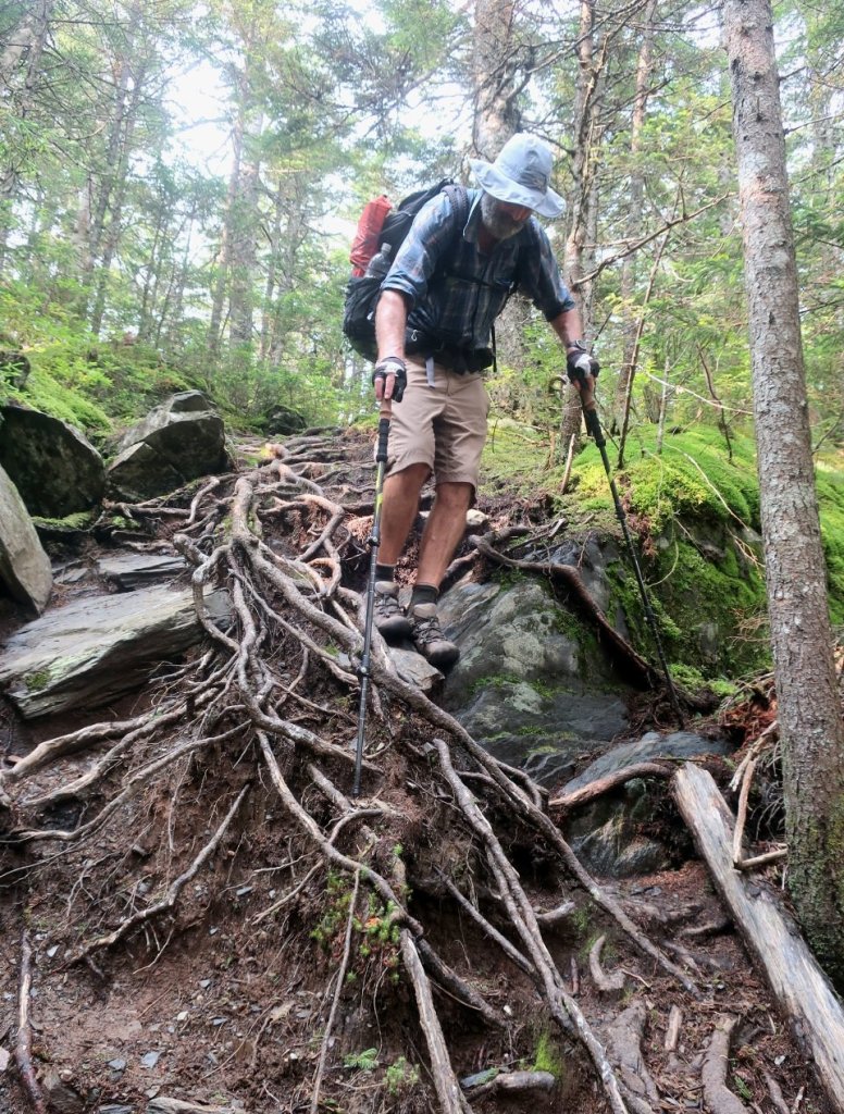
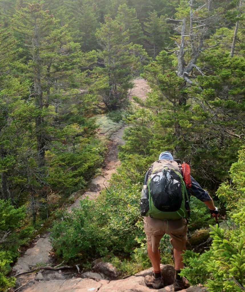
The trail for most of the morning, down to the river was a mixture of roots, rocks, vertical wall scrambles, rocky fields, wet, boggy and everything in between. Quite steep in sections and quite slow going so it took us longer than we anticipated to get to the river.


It was 12:30 by the time we got to the West Branch Pleasant River. The crossing was really not a big deal. The river was wide and flowing slowly. It was only shin deep, the rocks were a bit slippery but there was very little energy in the flow.
On the other side we met a ridge runner who was most helpful in terms of trail information and particularly Baxter State Park. Quite a few day hikers were crossing the river to hike a loop which leads to a series of waterfalls along the river. The hundred mile wilderness is not really all that isolated.

From the river we followed Gulf Hagas Brook for about 5 miles upstream. Easy hiking on relatively good trail. We could hear rolling thunder in the distance. A possible thunderstorm was forecast for around 6pm. It was around 4pm when we reached the crossing of the Brook near Carl Newhall shelter when it started to rain. So we backtracked to a flat campsite in the woods before the shelter and set up the tent before the rain intensified. A shorter hiking day then we wished but really happy to be under cover as it continued to rain through hiker midnight.
so glad you didn’t have to do the 12 mile detour wow!
LikeLike
For sure.
LikeLike