ROCKY I – THE BEGINNING
AT Day 071: Saturday June 17, 2023
Mile 1171+ 23 miles/ 37 km
Total Distance Hiked: 1194 miles/1921 km
Campsite – Rausch Gap Shelter – Rausch Creek – Stony Creek – Green Point School Road – Route 443 – Trout Run – Moonshine Road – Route 72/ Swatara Gap – Interstate 81 – William Pen Shelter – Campsite
A:2690 ft /820 m D:3012 ft /919 m
Our campsite was in a large clearing that looked like it may have had a house on it at some stage. That would explain the great trail on the way here from Clarks Valley Road.
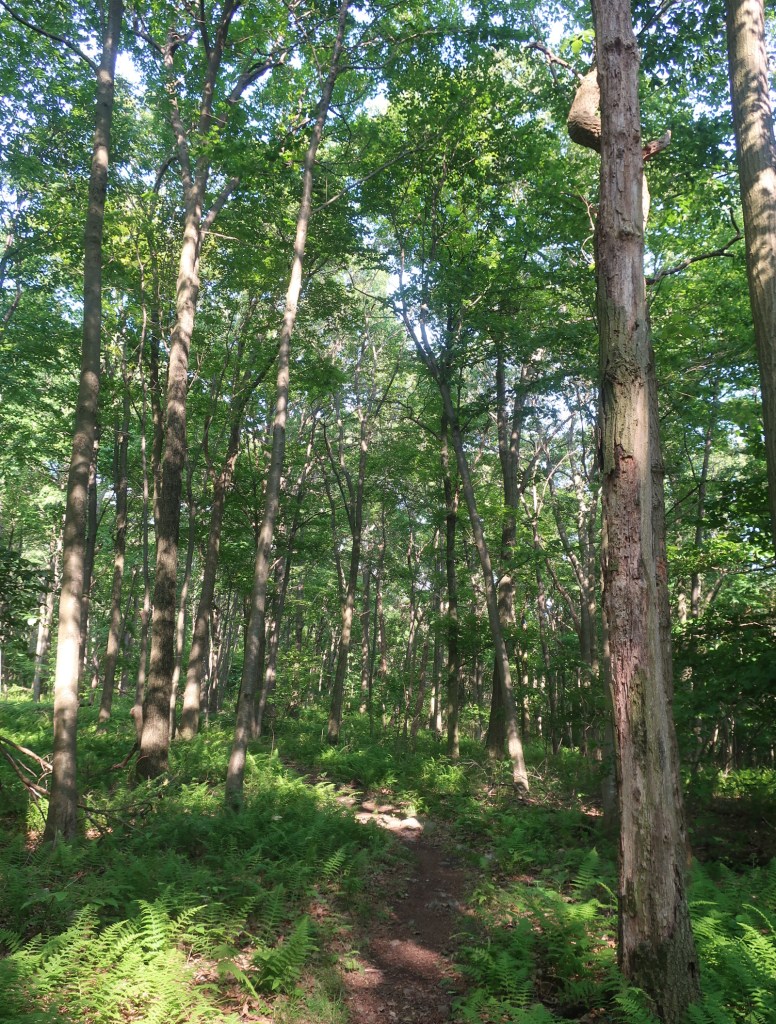
So nice to wake up warm and dry and listen to the birds chirping, happy to greet another day. I was luxuriating over my morning coffee and Hammer had a small sleep in.

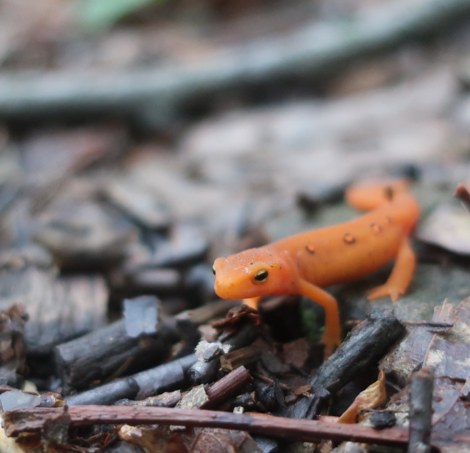
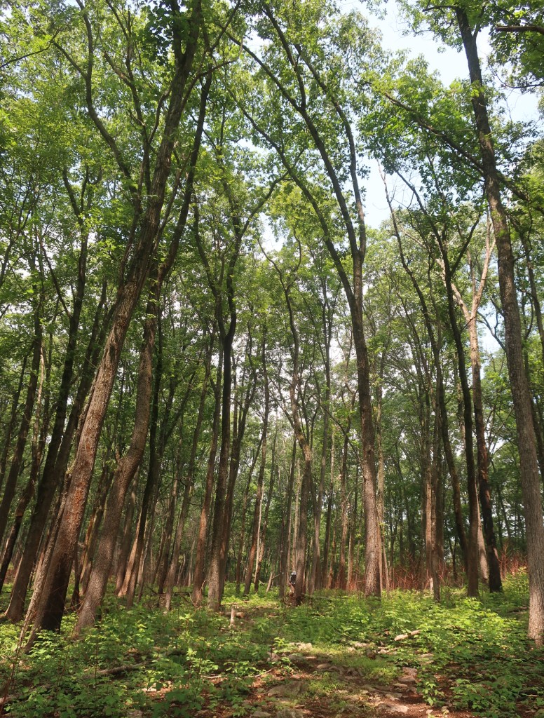
We broke camp and were on our way around 6.30. A cool wind whistled through the trees, the trail was nice and soft covered in pine needles. We enjoyed this section especially seeing a few stands of Mountain Laurel still in bloom. And the dozens of our wet weather friends, the red efts which I’ve been incorrectly calling salamander. They are so cute. Being ectothermic they are slow to move in the cool air of the early morning.
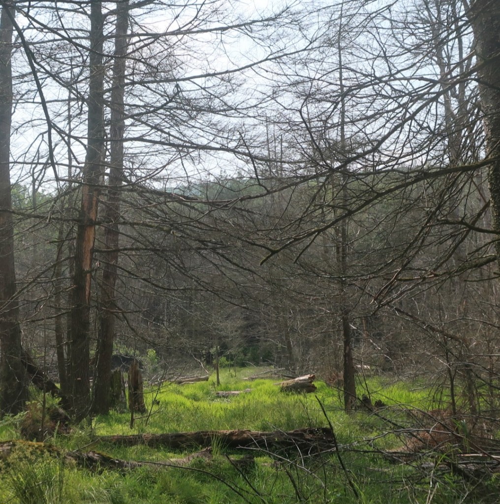
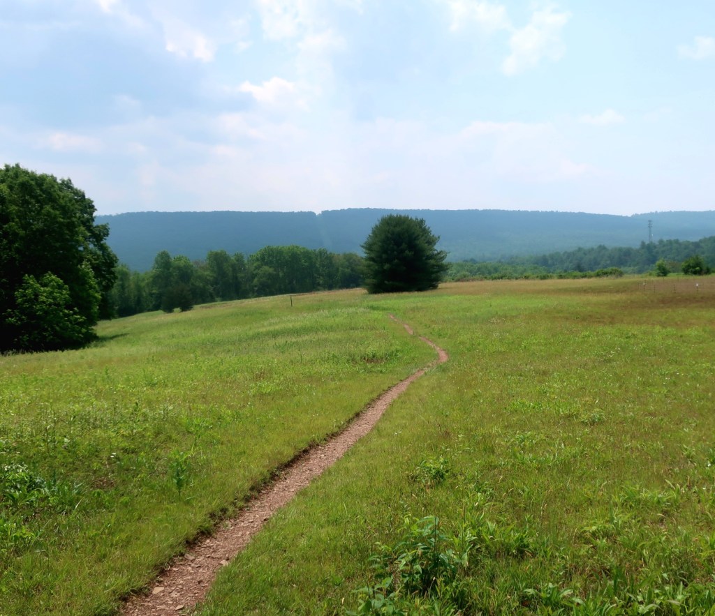
It was a beautiful morning. The trail was soft on a gradual downhill towards Rausch Creek. We followed the creek line and the morning just got better and better especially as the sun burned off the clouds and we could actually see a rays of sunshine penetrating into the forest.
We soon had an explanation for why the trial was in such a great condition. We went past the relics of a mining community called Yellow Springs. The trail to our campsite yesterday and the path which the trail now traversed were probably access routes for the mining community. The best trail we’ve had for a long time. I wish I new more about the history of this area before we got here.


We were descending along Rausch Creek towards a road crossing. And being Saturday we passed five southbound day hikers out enjoying a beautiful day.
We crossed Rausch creek on a bridge. It was so nice to see people out mountain biking on such a beautiful day. We walked past a large campsite occupied by families with young kids running around and lots of bikes.

We soon came across Stony Creek which has been damned by beavers. I always wanted to see a beaver dam. But when we got there all that we saw was a swampy mess with lots of dead trees, not a beaver in sight. We hopped across on fallen logs and sticks and largely kept our feet dry. We really should have taken the blue route deviation around this mess.
From here the landscape changed. It was uphill on a rockier trail and soon we were hiking through a recently burnt section of forest. Such a contrast to the lush greenery we’ve had most of the morning.
It was after midday when we stopped for lunch by Trout Run creek. Close to a busy road but still nice to stop and take our shoes off for a bit.
After crossing Swatara Gap we had a mile and a half climb to a ridge which we followed for the next five miles. The Gap had some remains of river lock which was a part of much bigger river transport system.

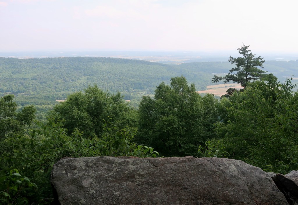
The trail was not the very scenic, apart from one lookout with a view towards agricultural lands below. Otherwise the trailside vegetation was largely weedy with lots of poison oak lining the side of the trail. The trail got really really rocky in parts. It was late in the day when we passed the William Tell Shelter. From notes on our map this shelter gets really busy and being Saturday we gave it a miss. We found a campsite a little further on. It was a little bit rocky but it will do. Hum of the highway traffic can still be heard along with the birdsong and the wind whistling through the trees.

Great reports. I feel like I am there.
LikeLiked by 1 person
Thank you Oldmac52. We often passes turnoff trail to various summits and comment ‘ I bet Oldmac52 would have taken that trail 😊
LikeLike