BIG AGNES HILTON – SECOND EDITION
AT Day 070: Friday June 16, 2023
Mile 1149 + 22 miles/ 35.4 km
Total Distance Hiked: 1171 miles/ 1884 km
Doyles Hotel – Juanita River – Susquehenna River – US Route 22 – Clarks Ferry Shelter – Peters Mountain Road – Table Rock Views – Peters Mountain Shelter – Clarks Valley Rd – Campsite
A: 3885 ft /1185 m D: 2595 ft /781 m
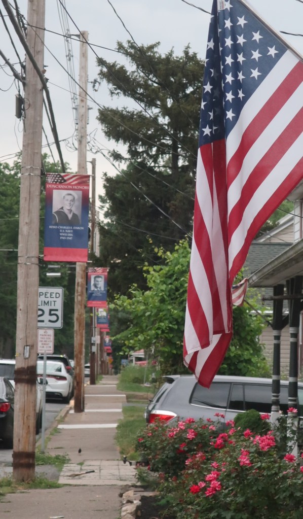
I felt sad leaving Duncannon. We walked past pole after pole carrying photographs honouring locals who’ve served in the various US military conflicts. Something so poignant about their sacrifice. I wonder what it was all for in the end when I look around the town.

We left Doyles at 6am, the main street hummed with through traffic. The town serves as a thoroughfare for two motorways. After two miles walking through town, crossing bridges over both rivers flowing past Duncannon, we reached US Route 22 and the railway tracks alongside it. We needed to cross the road and then the railway tracks to start the uphill climb to leave town.
We felt lucky that the railway tracks had no parked trains because if there were the advice was you have to wait for the trains to move and not attempt to cross over the carriages to continue your hike. I wonder how many hikers heed this advice.

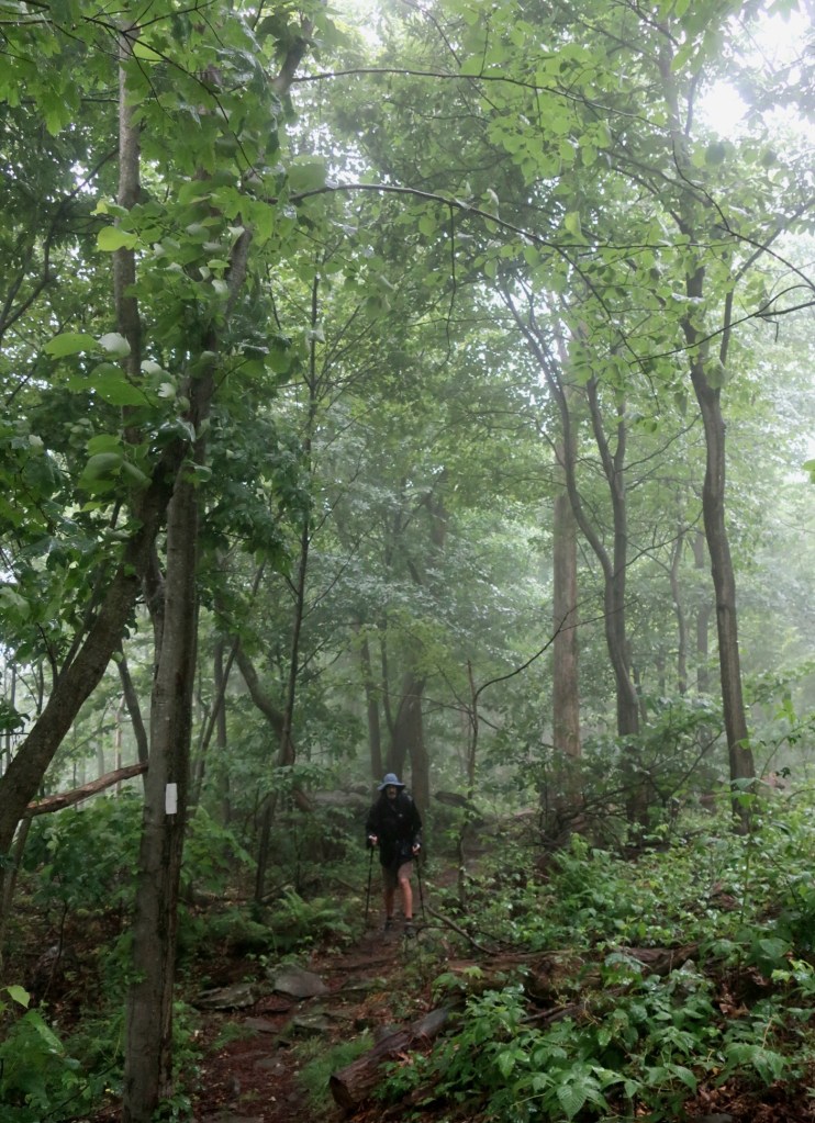
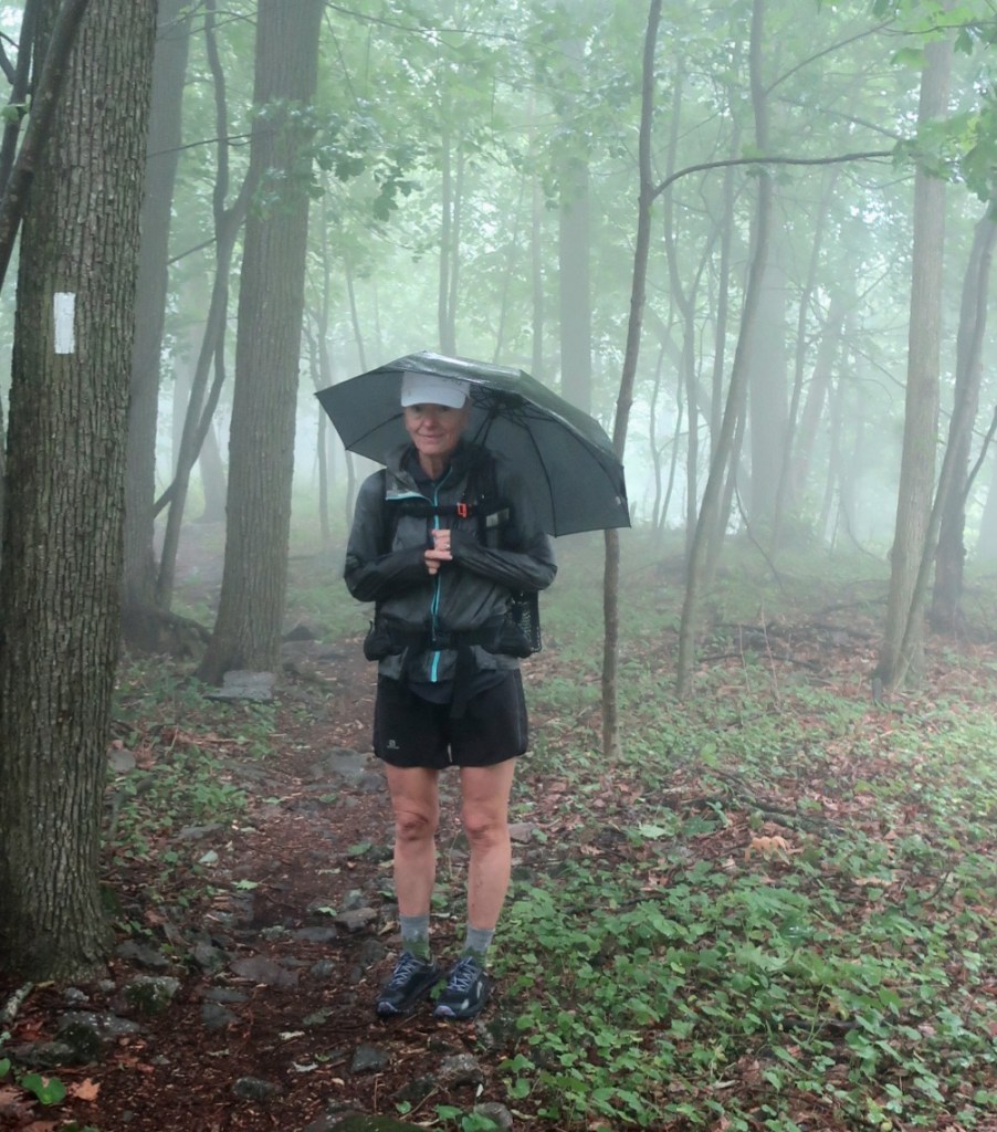
The rain arrived right on cue, just as we started the climb. We were almost on the ridge when a slow drizzle turned into consistent rainfall. A cold wind blew across the ridgetop and the highway traffic hummed along down below.
Around 8:30 we went past the Clark Ferry shelter and could see or at least 3 or 4 tents that we’re still up with no movement at all. I don’t blame them I know how hard it is to leave a warm sleeping bag. With this cool, misty and rainy weather I would also rather be in the warm sleeping bag.
But since we started hiking before the rain arrived it was easier to get going. Much harder to start in this weather. The prediction was that the rain will stop around lunch time.
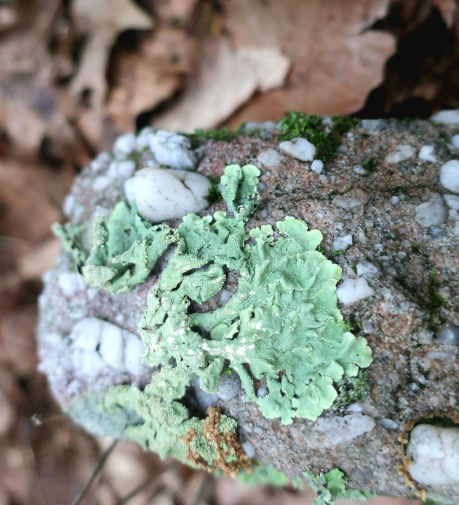
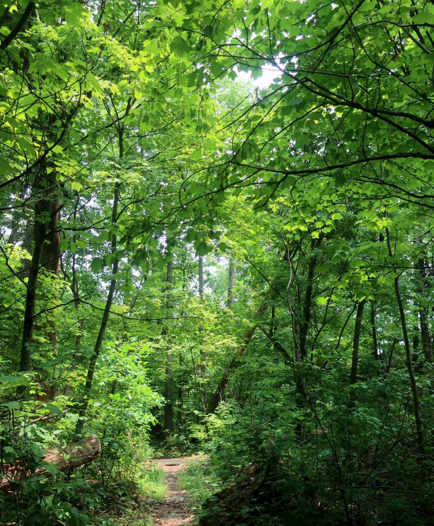
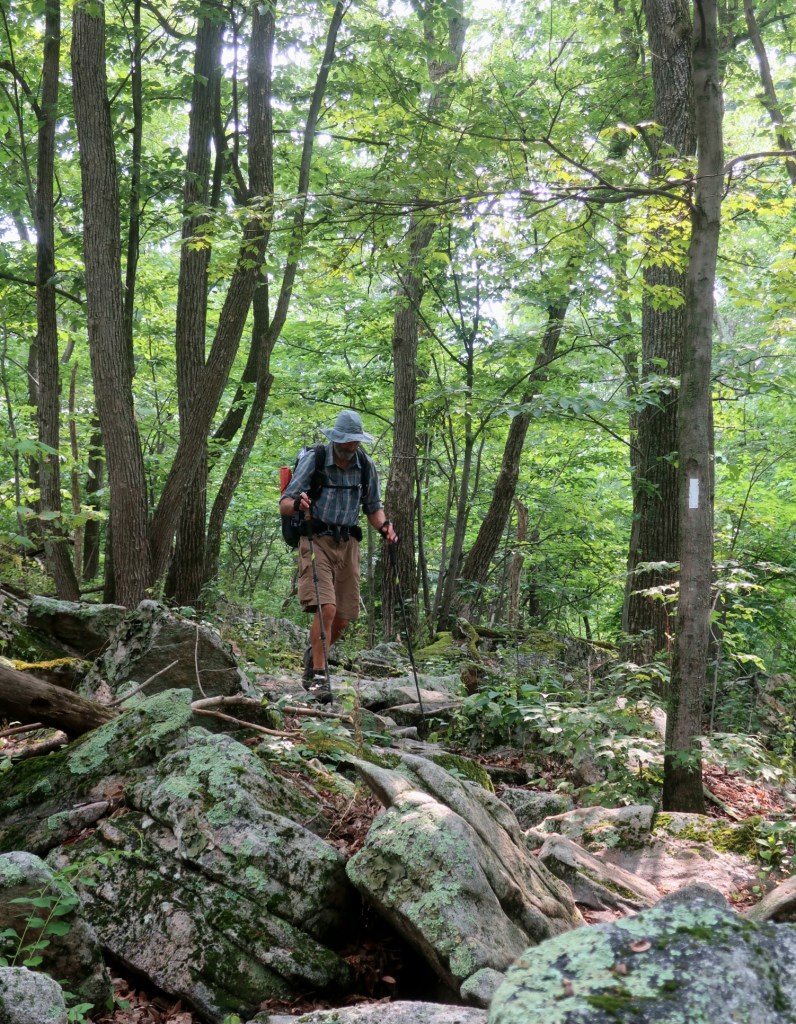
Most of the morning we hiked a ridgeline over rocky terrain interspersed with some relatively smooth sections of trail. The rain narrows your focus and with the rocky terrain it kept us looking at the ground. We didn’t talk much, the morning seemed to glide quickly towards midday.

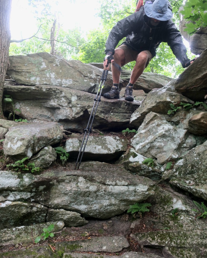
We crossed Peters Mountain Rd over a pedestrian bridge built especially for the AT hikers, which was really nice. The road below was really busy. After that we were on a well-groomed trail on the way to Table Rock overlook.
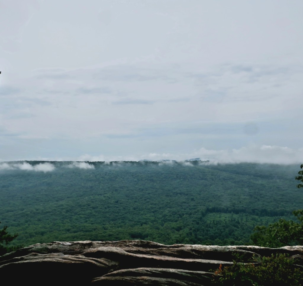
The rain stopped just before we got to the overlook so we decided to stop here for an early lunch. A beautiful spot to watch the fog clear in green valley below while taking a break. The fog was swirling over the distant mountains which were scarred by numerous power line easements. By the time we finished lunch the fog had cleared and the sun was out. And we headed back into the woods.


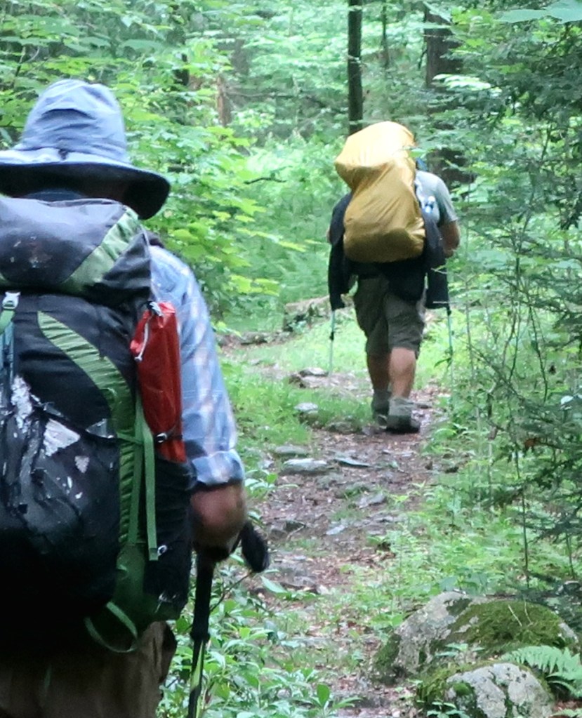
It was nice to hike after lunch without the rain. It was almost 3pm when another hiker passed us. The first person we’ve seen all day. We thought he moved really well for a big guy. We passed him later in the day after crossing Clarks Valley Road and the start of another ascent.
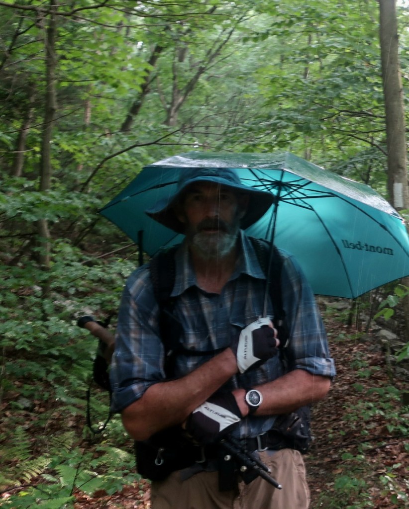
A thunderstorm was predicted to arrive around 5.30pm for a couple of hours.We were keen to hike through the rain and put up the new tent after the rain passed. Despite the trail profile on our map, the ascent from Clarks Valley Rd was not that bad. Thunder and rain followed us all the way up to the ridgeline for a couple of miles. And just as we neared the ridge the sun came out and the rain eased and then totally stopped. It felt wonderful to see shafts of sunlight through the mist.
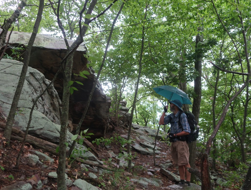

We got to an established campsite with four tents already there. We found a spot and the new Big Agnes Hilton was unveiled in late evening sunshine. Great improvements in the design. It will be a great tent for star gazing when we get to camp out of the green tunnel.

Your photo of the sun streaming through the trees is just magical!
LikeLike
Thank you Anna. I was so happy that I turned around just as the sun was bursting through.
LikeLiked by 2 people
Strike me lucky – that track sure is littered with treacherous rocks – so glad you’ve both survived without so much as a scratch!
I can’t get over those brightly coloured salamander creatures, I mean, where on earth do they hide?
LikeLike
The rocks have been plentiful. The orange criiters are juvenile newts called Red efts. I’ve been wrongly calling them salamader. They are the cutest things ❤️. They come out in the wet weather.
LikeLike
Congratulations on reaching half way, well done 👏 looking forward to the 2nd half – hope “Badass” will be ok, what an amazing person. Big Agnes Hilton looks good –
LikeLike
Thank you Maree, nice to have your company. I do think about Badass and Blind 🦯🦮. Wonder how he got along. The new tent is terrific. But the real Hilton 🥰
LikeLike