ALMOST HEAVEN, WEST VIRGINIA
AT Day 063: Friday June 9, 2023
Mile 1017 + 19.5 miles /31.5 km
Total Distance Hiked: 1036.5 miles/ 1668 km
David Lesser Memorial Shelter – WV Route 9/Keys Gap – Shenandoah River – Harpers Ferry – Potomac River – US Route 340 – Weverton Road – Weverton Cliffs – Ed Garvey Memorial Shelter – Brownsville Gap – Gathlin State Park – Crampton Gap Shelter
A: 1820+ ft /555 m D: 900+ ft / 275m
The David Lesser Memorial shelter was a great camp site. We were camped on a tent pad downslope from the shelter. It was just the most comfortable night sleep. I woke early and had a coffee in the perfect stillness of dawn, while Hammer slept a little longer. As I was finishing my coffee, the birds started to sing, a few at first and pretty soon a full symphony. If only I could bottle these perfect moments.
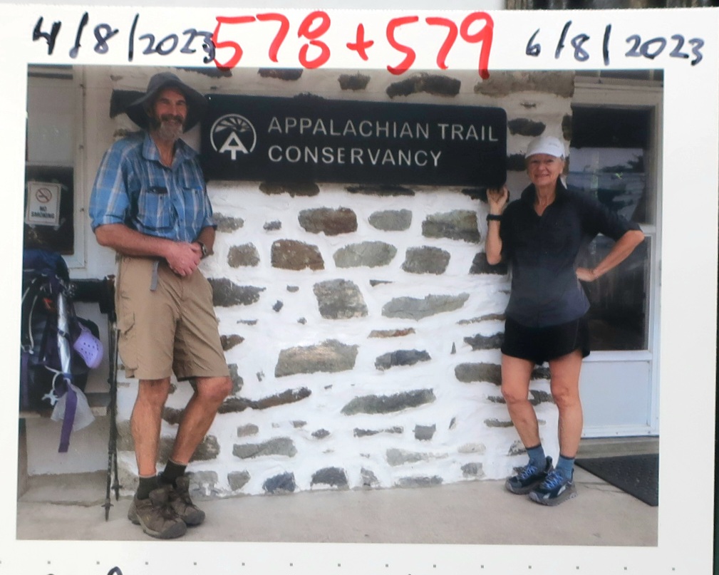
Breaking camp is a routine and we get it done without saying a word. We were packed and on our way before 6 this morning. Super eager to cover the 9 miles into Harpers Ferry. This town stop is referred to as the psychological halfway point of the Appalachian Trail, mainly because the Appalachian Trail Conservancy have an office in town. All hikers who stop at the office are asked to be photographed and issued with their hiker arrival number.

A hum of busy highway traffic could be heard soon after we left the shelter. About an an hour and a half from leaving the camp we crossed the source of the traffic noise, at Keys Gap a very busy road dividing Virginia and West Virginia.
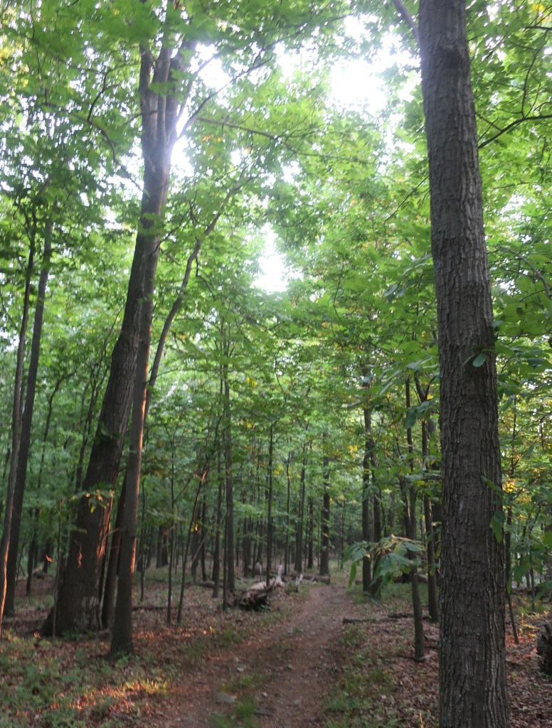
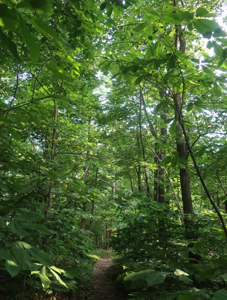
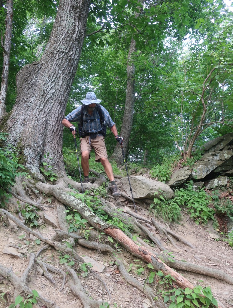
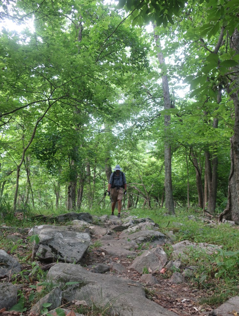
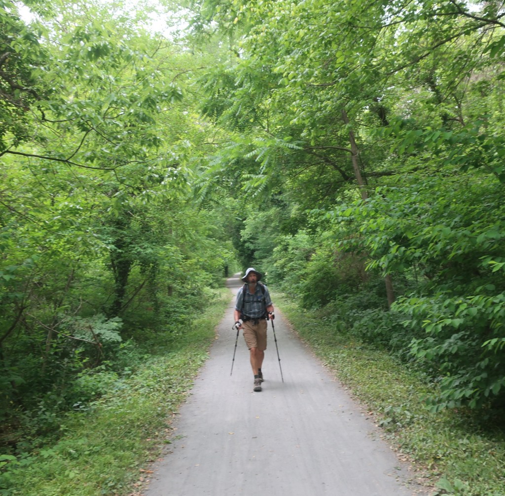
It wasn’t long after crossing Keys Gap that the trail resumed to being a goat track and very slow to navigate. The rocks were hard and very sharp, one slip and you could end up with skinned shins.

The sound of highway traffic reverberated around us. We put our heads down hiking as fast as we could so we can get into town. It’s always a rush to get into town.
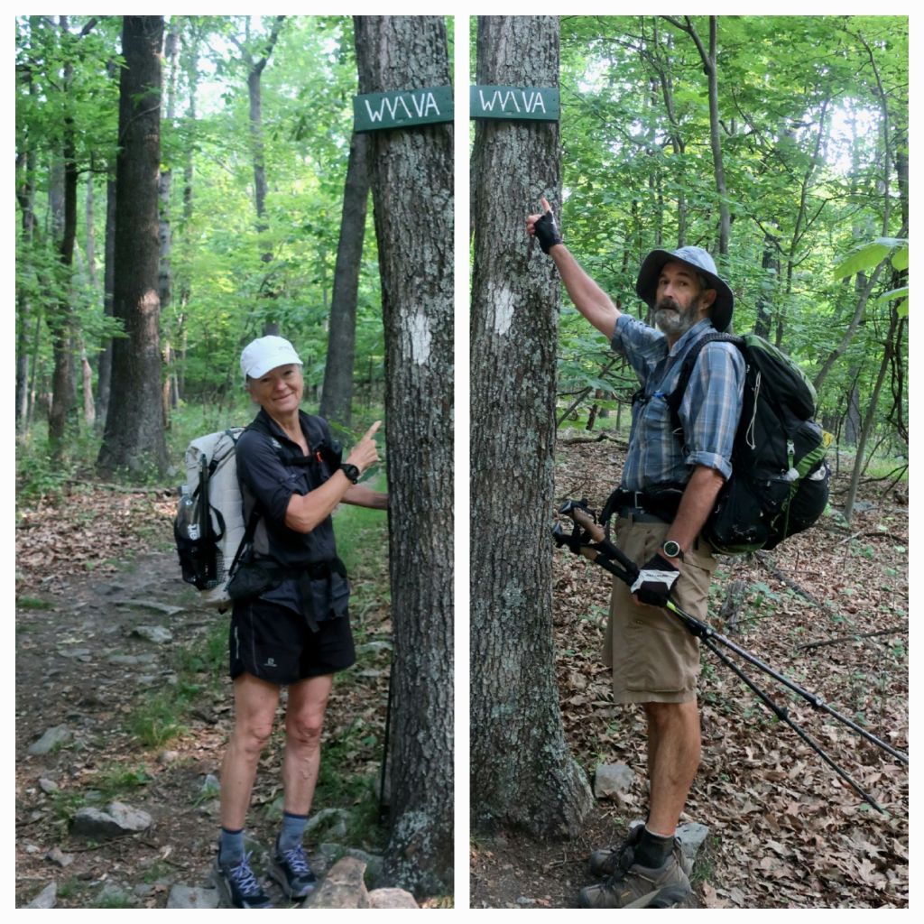
It was just after 8 this morning we crossed the border into West Virginia and finally left Virginia for the final time. The sign for the border was very strangely nailed high up on a tree. We wondered if it was to stop vanalism.
Within 15 minutes of being in West Virginia the John Denver song Country Road started looping on repeat through my head.
“Almost heaven, West Virginia, Blue Ridge Mountains, Shenandoah River.
Life is old there, older than the trees, younger than the mountains, blowing like a breeze.
Country roads, take me home to the place I belong. West Virginia, mountain momma, take me home, country roads.”
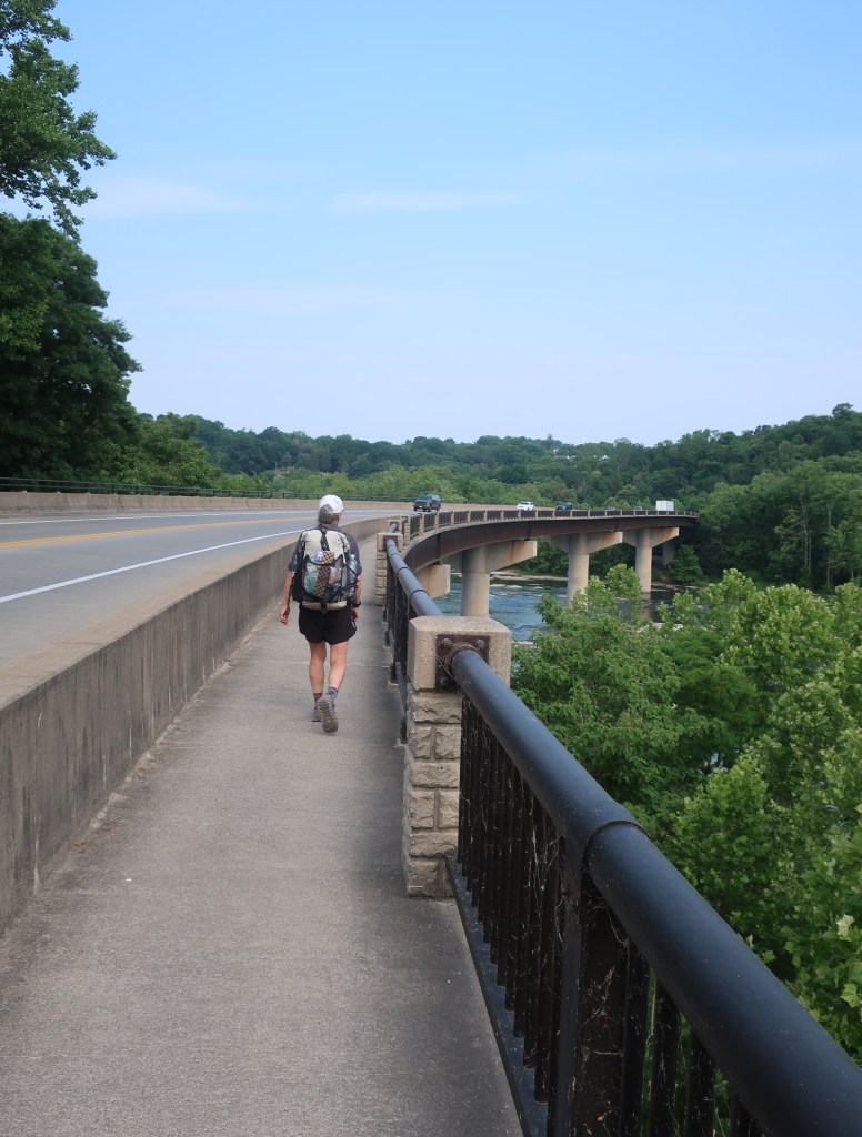
The song was still playing on a loop in my head when an hour later we crossed the Shenandoah River. A steep climb from the river and we arrived in Harpers Ferry. We stopped at the AT Conservancy had our photo taken and our hiker number reissued. We’ve gone from being hiker number 2361 and 2362 at Anacolola Falls, Georgia to hiker number 578 and 579 arriving in Harpers Ferry. We were surprised that it’s possible that we’ve passed 1783 hikers at some point without actually seeing anywhere near that many people on trail. The ATC staff member was very friendly and helpful. He gave us some very good advice going forward. We were not aware that dispersed camping, which we’ve been doing up till now, will be almost impossible as we head north. So we will be restricted to camping around shelters. Good to know as we will have to plan our days a little bit more.

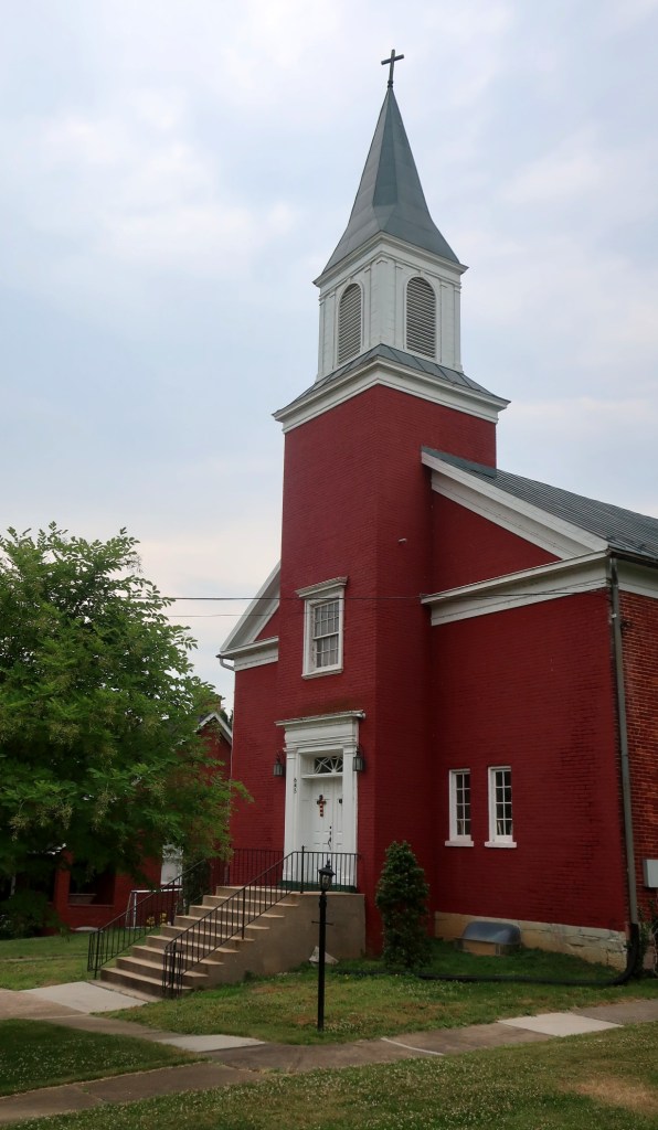
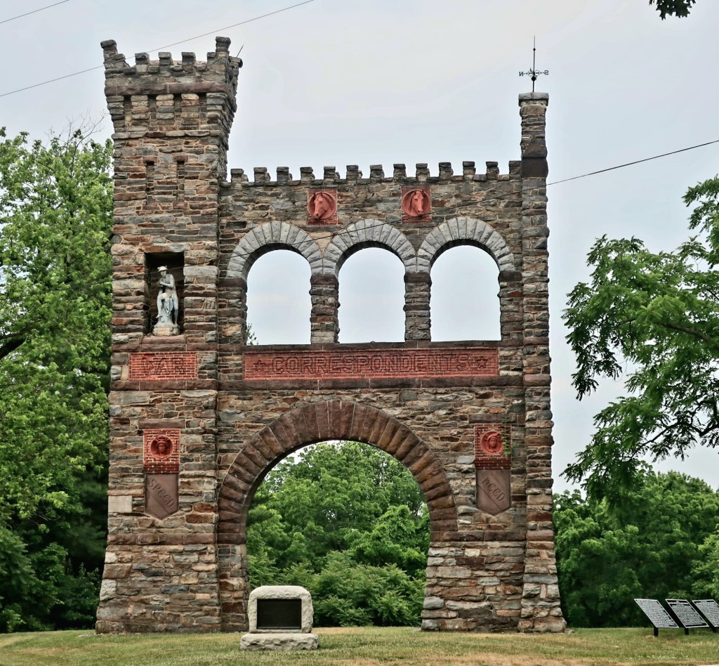
We went to a nearby bakery had some sensational baked goods including a crispy French baguette, we then resupplied at the Outfitter and were back on trail by 1pm. Harpers Ferry is an important town in Americas Civil War history. The downtown area was very busy with tourists. We would like to return with a bit more time to explore the town and it’s history a bit further. And of course, to visit the bakery one more time.

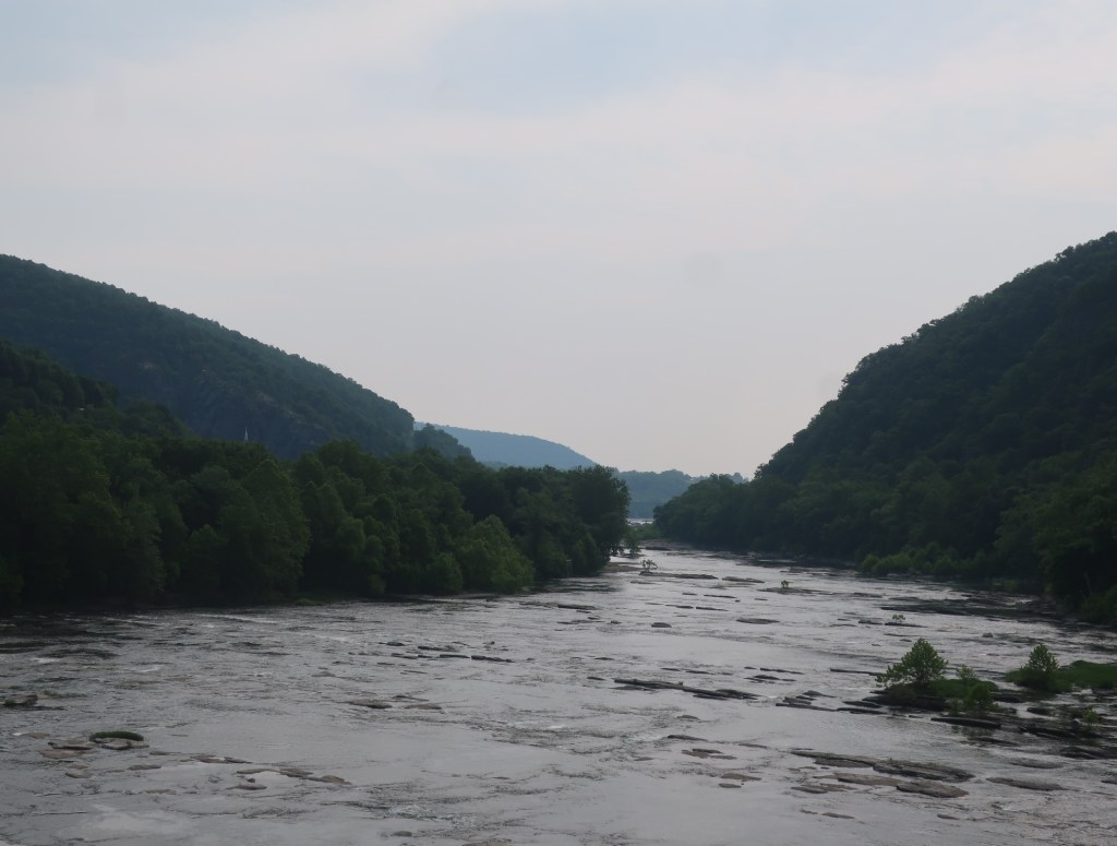
The trail leaves Harpers Ferry with a 2 mile long walk along the Potomac River. Crossing the river we left West Virginia and entered Maryland, our sixth state. The hike along the Potomac River was really quite pleasant as it was a nice and warm day and the sun was shining. Hammer was very impressed to spot a number of tortoises resting on logs in the little canal between the railway line and the embankment we were hiking on. We soon left the river and started to ascend towards Weverton Cliffs on a ridge which we followed for the rest of the day. Before we made it to the cliffs the sky darkened and a rainstorm started. There was an intense short burst of rain which soon passed. The cliffs provided a great view of the river and the town below.


We were heading towards Crampton Gap shelter which we reached around 5.30pm. Just a bit before we got to the shelter we passed an impressive parkland at Gathlin State Park. Remnants of a 19th century estate, which are beautifully maintained, are the centrepiece of the park.
The tentsites at the shelter were just as nice as last night’s, although not everyone camped here is a through hiker. We got the tent up and were inside under cover just as a short lasting thunderstorm passed over us. The leaky roof repair is still holding up.
Nice rendition of “Country Roads”…, and that rain is still persisting, you would think the weather would know it’s summer now would you? Glad you stayed dry. The local views, turtles, deer etc all still look inviting but I’m glad you’re doing it and not me.
LikeLike
Hi Linda
Apparently it rains here all the time. That’s why the landscape is so green. The views are pretty when we get them 😗
LikeLike
Well done Corky and Hammer! Nice pics as usual, I send you energy 😉
All the best!
Delta
LikeLike
Thank you Delta
It’s been an interesting challenge
LikeLike
New shoes look good Corky and certainly giving them a workout over the rocky terrain 👍
LikeLike
Thank you Maree
They are like tractor tyres yet I can still feel the rocks
LikeLike