JENNINGS CREEK
AT Day 048: Thursday May 25, 2023
Mile 744.5 + 23 miles /37km
Total Distance Hiked: 767.5 miles/ 1235 km
Camp – Taylors Mountain Overlook – Montvale Overlook – Harveys Knob Overlook – Hamond Hollow Road – Peaks of Otter Overlook – Mills Gap Overlook – VA 43/Bearwallow Gap – Cove Mountain Shelter – VA Route 614/Jennings Creek – Fork Mt – Bryant Ridge Shelter – Floyd Mountain – Cornelius Creek Shelter
A:5830 ft / 1778 m D: 5035 ft / 1536 m
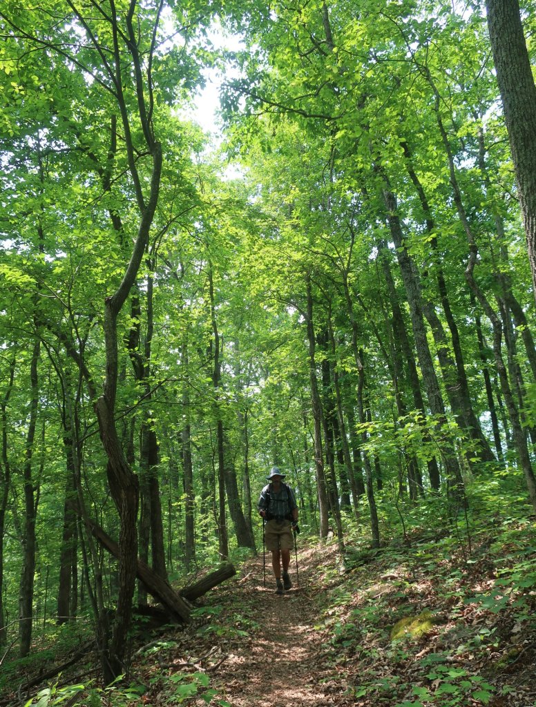
A cool wind accompanied us from our campsite down the mountain towards the Taylor’s Point overlook on the Blue Ridge Parkway.
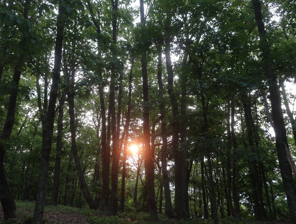
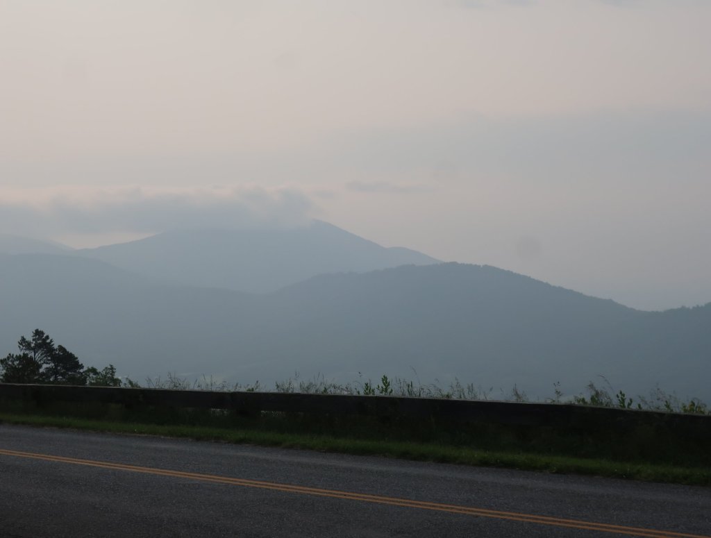
Through the tree canopy we could see the sun was up like a red orb shining in a hazy sky. The hazy sunrise looked a little bit smoky. Hammer suggested that it could be the smoke from the Canadian fires that was being carried down. Certainly could have been as the wind was a reasonably strong northeasterly.
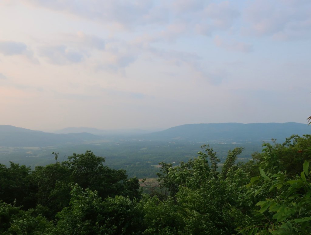
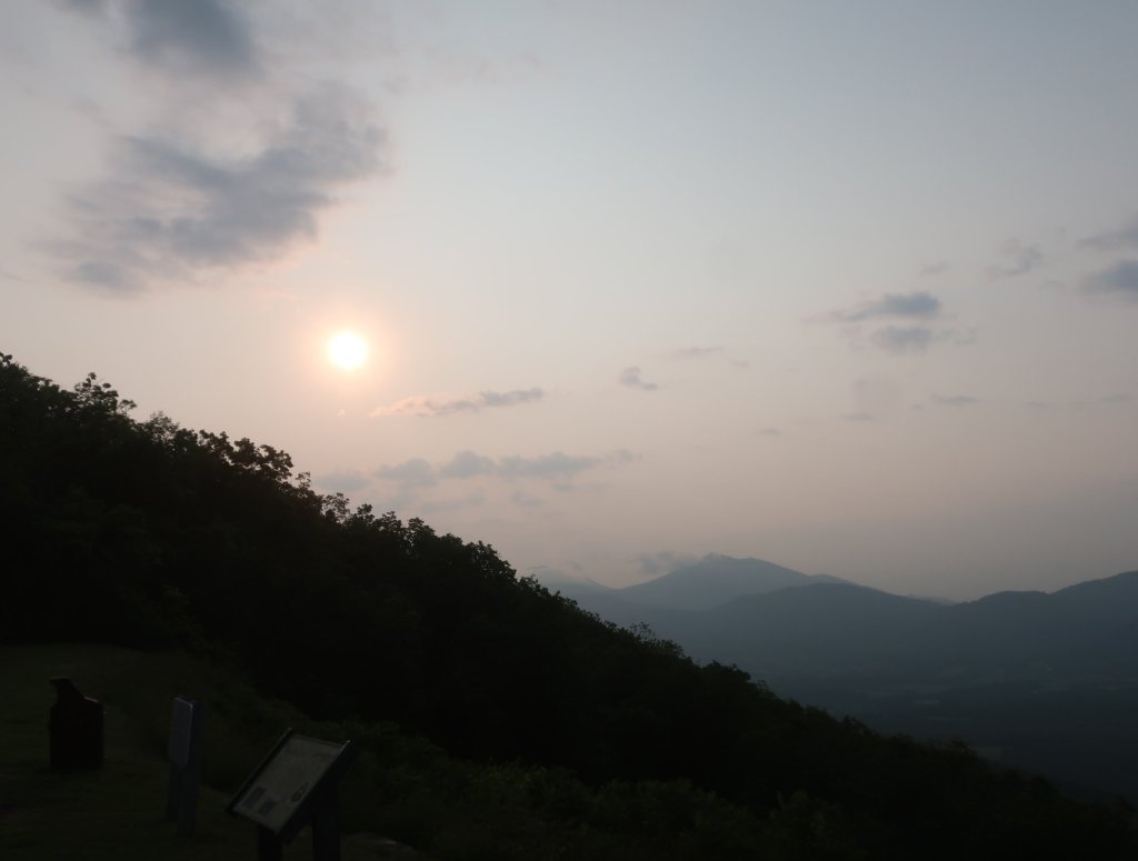
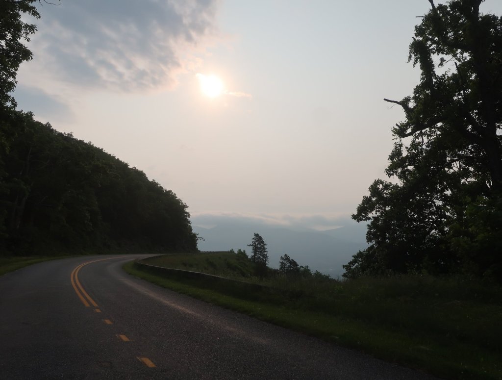
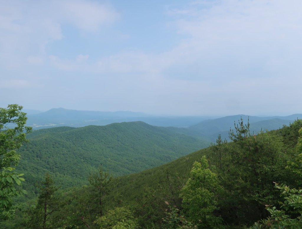
The cool wind turned cold, we couldn’t hike fast enough to warm up. But of course as soon as we put a layer on, there was an uphill and then we were sheltered from the wind. So it was layers off. Morning hiking was pleasant despite the proximity to the parkway. There were so few cars it didn’t really make a difference. In fact it added to interest as we criss-crossed the various overlooks. The views from these overlooks were somewhat limited by the smoky haze.
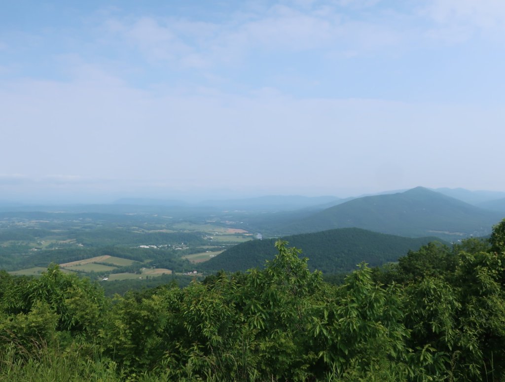
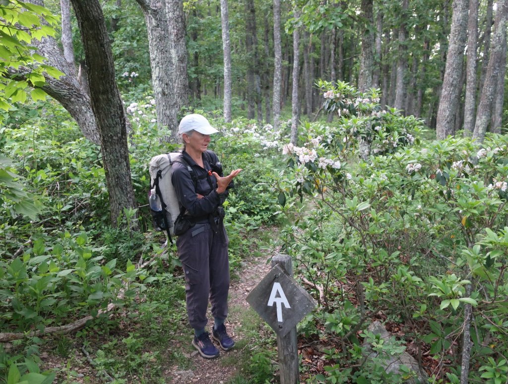
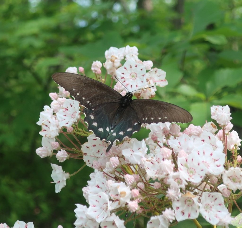
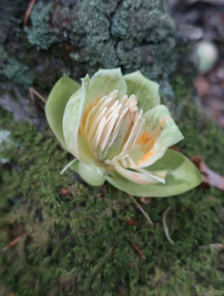
After the Mills Gap overlook the AT parted ways with the Parkway. We were somewhat disappointed to leave as it was quite nice to every so often pop out for views. The Parkway had a much better outlook then the trail. From here the trail reverted to the steep ups and downs without much reward. It feels a bit sad to pass a few stands of the pink lady slipper orchids…well and truly looking seedy. It feels like spring has already passed in these parts.
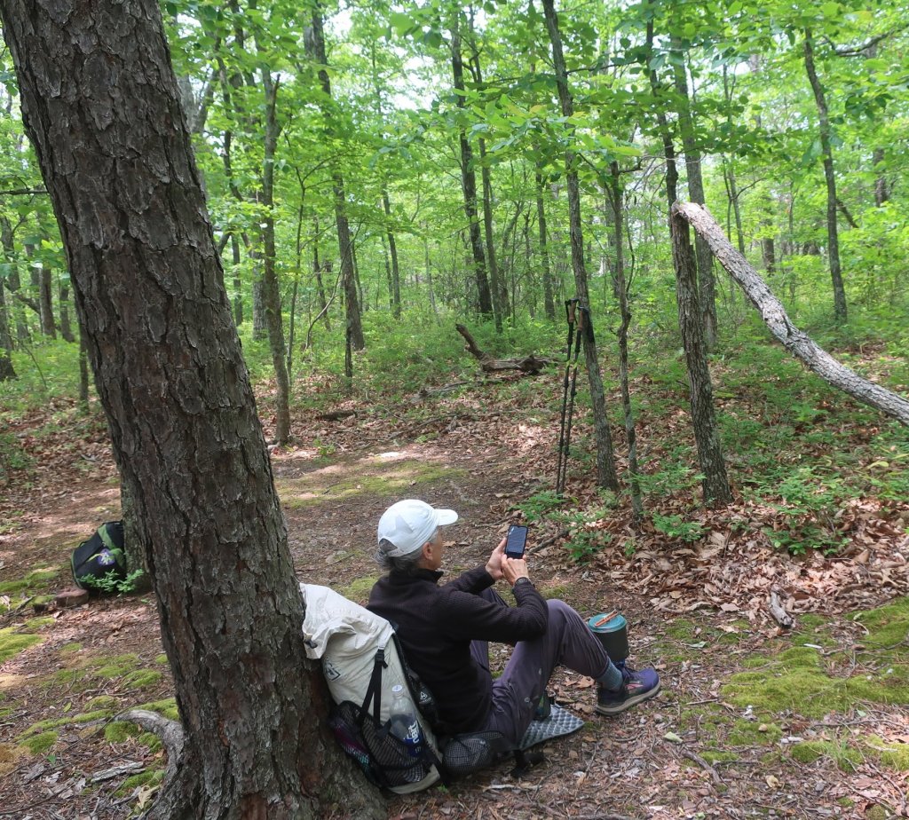
As we neared the Cove Mountain shelter excited chatter could be heard. It was a large group of local day hikers taking a lunch break. We hiked on a bit further along and stopped for lunch at a really nice campsite with an open outlook.


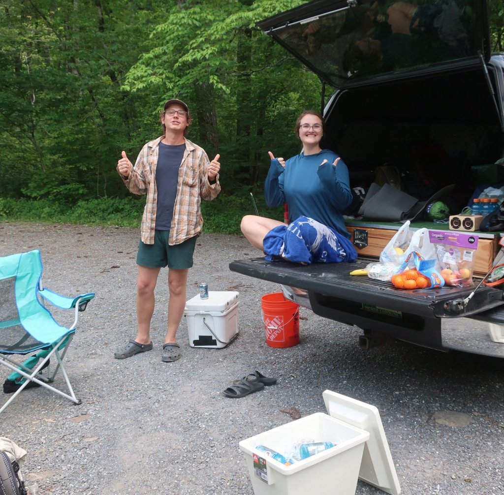
The afternoon hiking was a little bit more challenging at first and then got really hard towards the days end. We planned to stop for water at Jennings Creek. When we reached the creek, a couple in a pick up called us over. Totally unexpected they had a spread of drinks, fruit and cookies. I thought they were just out for a days fishing and sitting in the sun. Soul Train and Miss Florida were the lovely trail angels from North Carolina. Soul Train had hiked the AT before and was just doing some sections this year. While Miss Florida was living the van life and meeting up with him. Hammer filtered some water while we sat with them for some time chatting and finishing a Gatorade, followed by a beer, some mandarins and a totally delicious cookie just before we left.


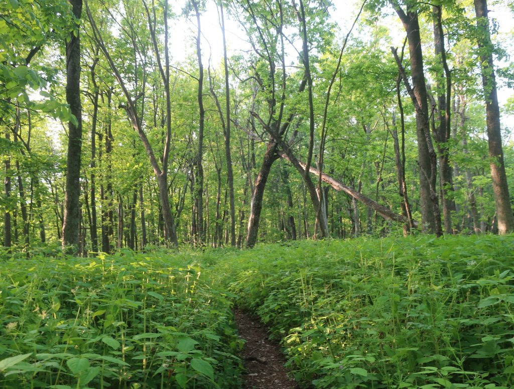
From the Creek till we reached the shelter and camped we climbed 3670 feet / 1150m. The climbs were steep and would level off for a short while and then continue on a steep ascent. We were hiking through lush green forest and the trailside vegetation was thick and prolific in so many shades of green. It was just hard work which felt even harder as we were tiring towards the end of the day. There were no suitable spots to camp as the understory vegetation was so thick so we had to get to the shelter.

It was such a relief to get to the shelter around 7pm. Almost all the tent sites were taken up. We found a spot, not ideal but it would do for the night. The day finished like it started with a cold wind that sprung up quite quickly late in the afternoon.
The trail looks really hard and challenging considering you’re losing the weight.
The views look amazing and we’re loving the commentary. Mike’s occasional blogs are all very nice too-
We’re so glad the body is holding up and you tall well physically.
Keep going guys and thanks for taking us along.
Linda
LikeLike
Thank you Linda. Our bodues are holdingvup well so far. The weight loss is inevitable as we can’t carry enough food for the amount of calories we burn daily. It all comes back quickly once we stop hiking. The muscle loss is harder to restore though.
LikeLike