MACK’S INN ALTERNATE
CDT Day 97: 21.6 miles/32 km
CDT SOBO Mile 900.4 – 905.4 + Mack’s Inn alt Mile 32.6 -17.0 + 1 Dufus mile
Monday July 22, 2019
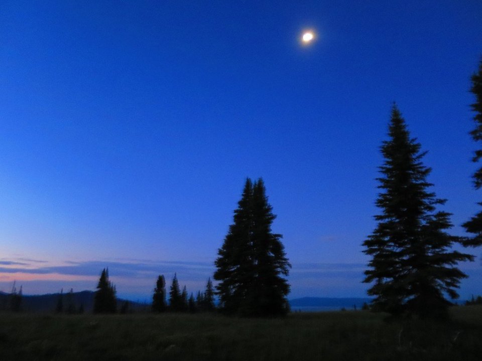
I was awake at 4am and super keen to get the day started, mainly to avoid mosquitoes. We had camped at the bottom of a hill and it was warm. Probably the warmest morning we’ve had since leaving New Mexico. We only had 5 miles on the official CDT before we switched to the Mack’s Inn alternate route. We didn’t know much about the alternate route, except that it was popular with hikers and it was shorter.
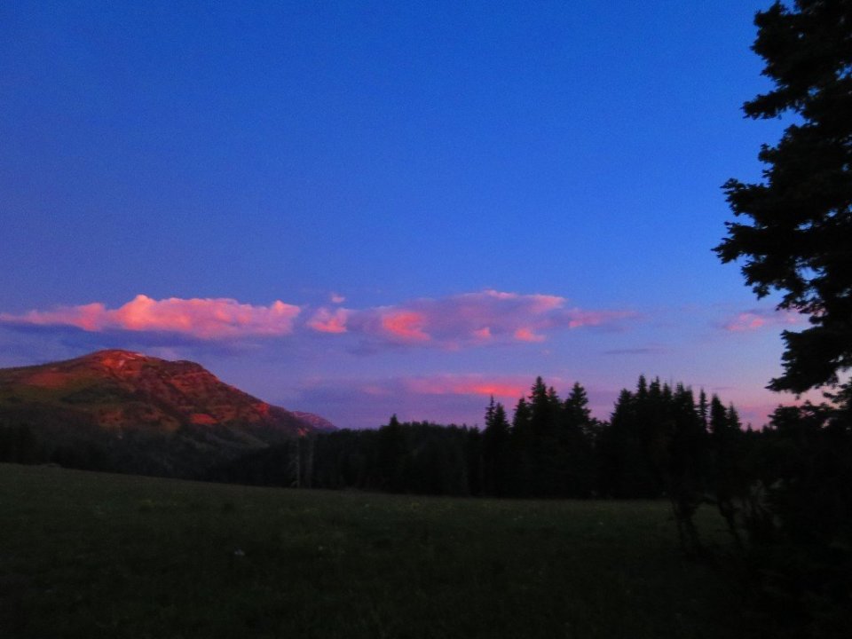
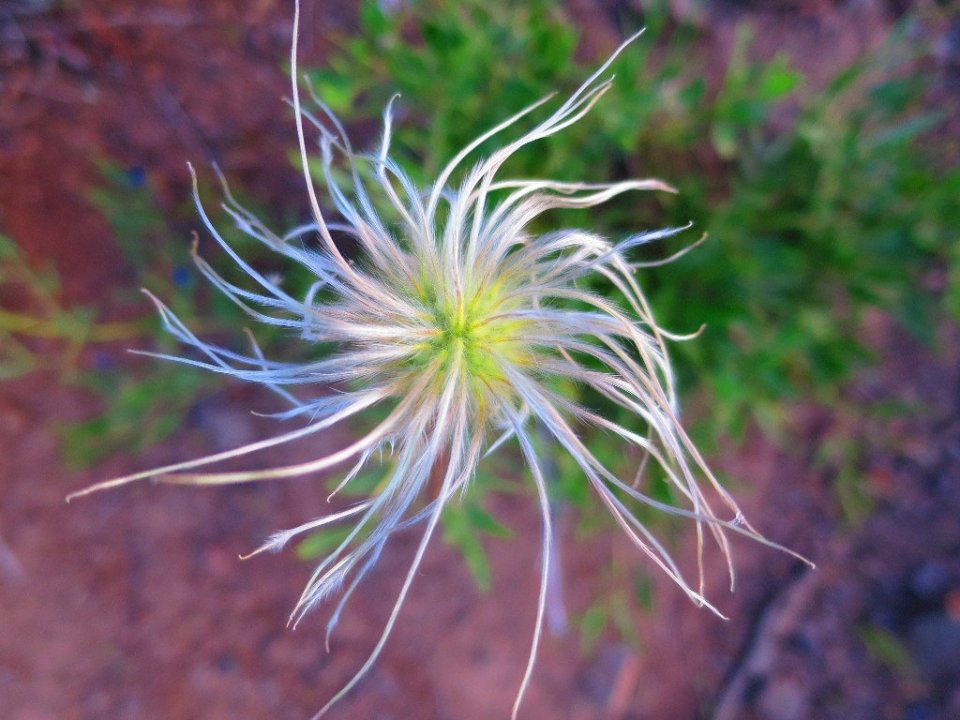
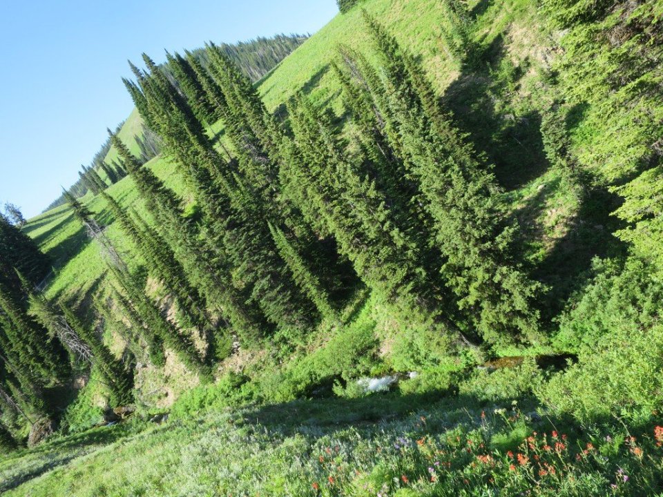
We didn’t quite escape the mosquitos while breaking camp in the dark but we started to lose the intense activity as we started to climb. The air got cooler and the imminent sunrise more spectacular. Hiking through flower lined trail never gets boring. Especially in the morning light when everything feels so fresh and new.


The morning was flying by as were we. So much so that we missed a turnoff on the trail and ended up descending about half a mile off trail. It was confusing as this trail had CDT trail markers but I knew we shouldn’t have been descending so steeply. When I checked our map we were way off, so it was a frustrating climb back out to a not so prominent trail junction. The more prominent trail, which we took went to Blair Lake and we should have gone to Lillian Lake. This confusing trail marking is a common feature of the CDT which is really not one trail.
Back on trail, we soon passed Lillian Lake only to see Paya disappearing way off in the distance.

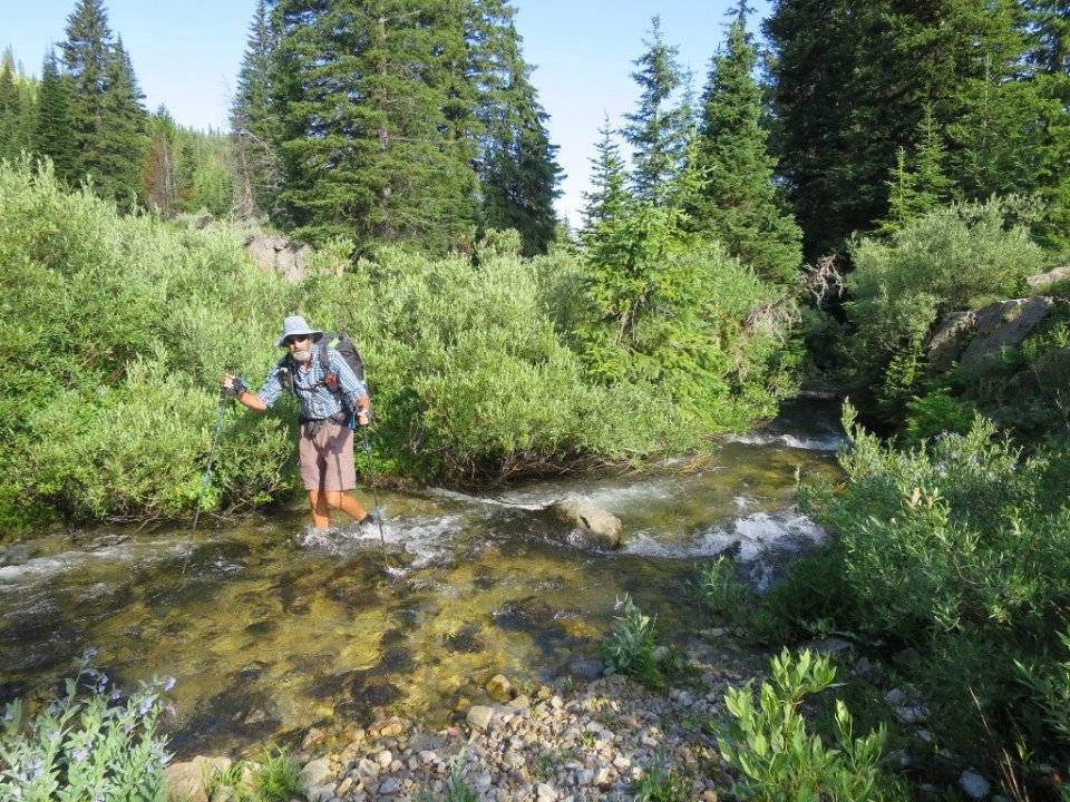
From Lillian Lake we had a very muddy and wet couple of hours bushwacking through swampy land – in parts – with no discernable trail and a map which was not much help. We were hiking along, through and over the appropriately named Hell Roaring Creek. We were in the midst of one of these confusing creek crossings when we literaly bumped into a northbound hiker- Ethan. We stood mid-stream swapping tips on the trail ahead. He was just coming back on trail to finish Montana.

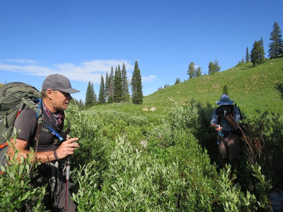
Soon after parting company we were climbing out of this swampy valley and onto a pass near Sawtell Mountain. A huge group of day hikers surprised us as they marched downhill informing us that we had just passed the headwaters of the Mississippi River. Turns out that this creek is the highest of the creeks which feeds the Mississippi hence they felt it gets the credit.
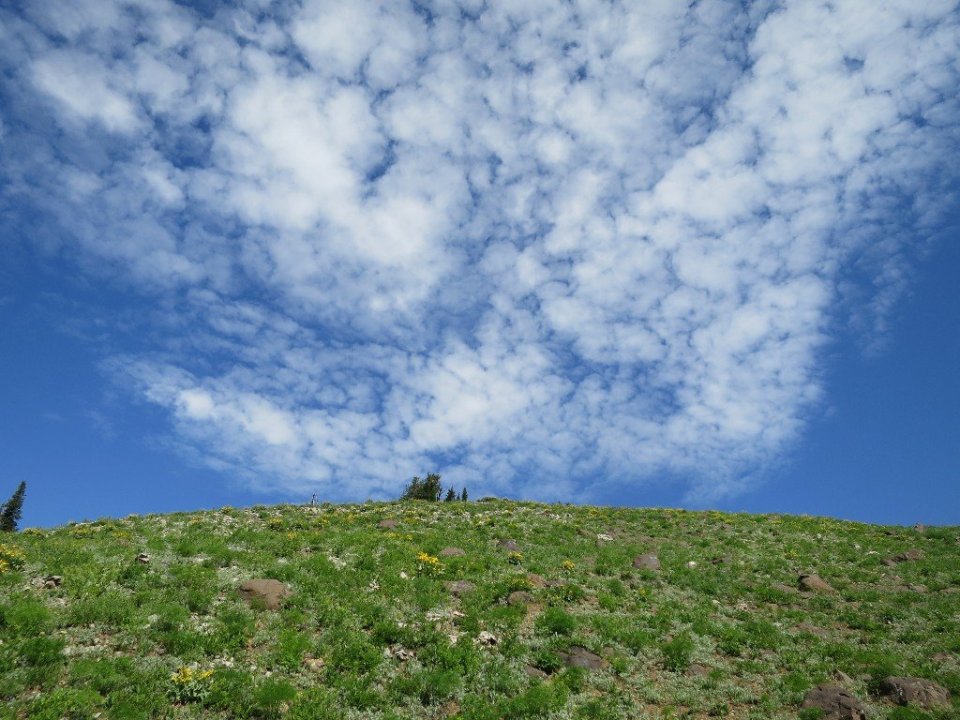
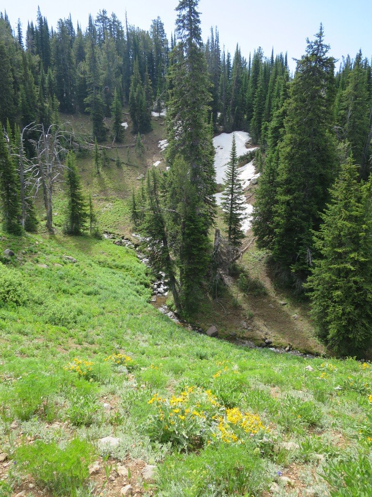

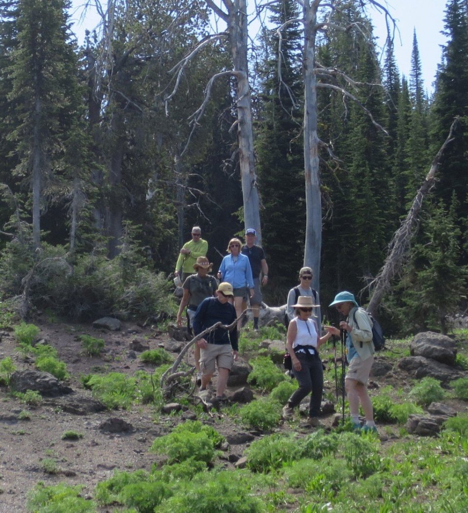
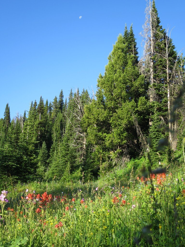
Soon after passing this group of hikers we passed another smaller group. It’s the most people we have seen on trail in 3 months. Patches of snow remained here and there so I guess people are out enjoying the great weather and the spring wildflowers.
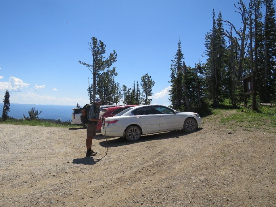
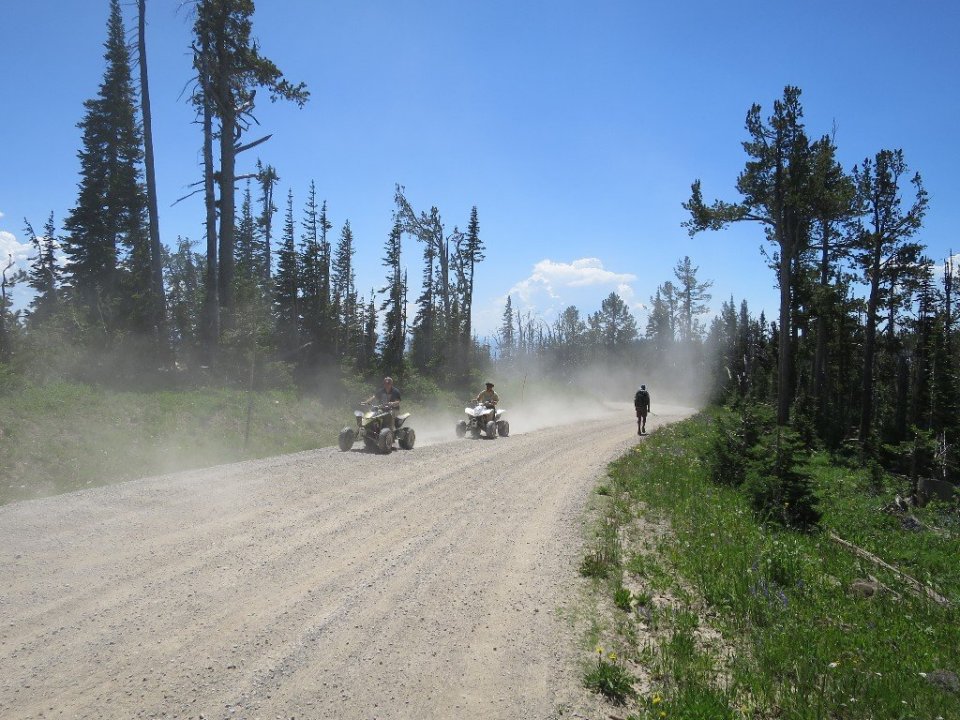
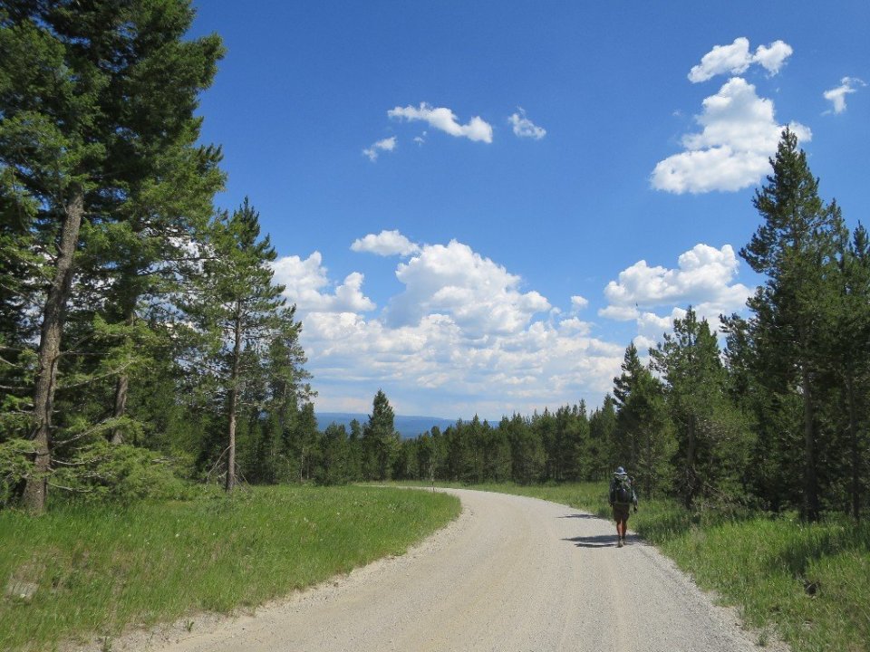
At the turnoff to the summit of Sawtell Mountain we popped out onto a dirt road. We followed this surprisingly busy road downhill for 10 miles to Highway 20. It was hot near the summit and it just got hotter as we descended to the highway. The passing parade of ATV’s kicked up a dust cloud when they passed. Our wet and muddy shoes were drying nicely. Not so sure it was exactly healthy for our feet.
We reached the Highway around 4pm and were happy to find a Subway right at the junction. A huge salad for me and a 12 inch sandwich for Hammer really hit the spot. We crossed the highway to do some resupply shopping at the Robin Roost, near the gas station.
By the time I got out of the store the sky had darkened and an almighty wind had sprung up, dust clouds were sweeping across the open space. It looked like a storm was approaching. It was well after 5pm and we realised we would not be able to hike out of the developed area before sundown. So we got a room for the night at a motel right by the gas station/grocery store. The Island Park Lodge looked like one of the originals.
It felt great to get our filthy shoes and socks off and have a shower to wash off the sweat and road grime. Tomorrow we’ll be out of Montana and approaching Yellowstone NP.