OLD BLUE MOUNTAIN
AT Day 115: Monday, July 31, 2023
SOBO Mile 1960 -1943
Bemis Mt Lean-to – Surplus Pond Road Campsite
Distance Hiked – 17 miles/ 27.4 km
Total Distance Hiked: 1900.8 miles/3058 km
A: 5092 ft / 1553m D:5856 ft/ 1786 m
So grateful that it wasn’t raining when we woke this morning. There was even a bit of red in the sky with the sunrise. It was a great start to the day. Doesn’t take much to make us happy. We had a two mile climb up to the summit of Bemis Mountain – more rocky ledge traverse over the ridgetop climbing towards the sunlight.
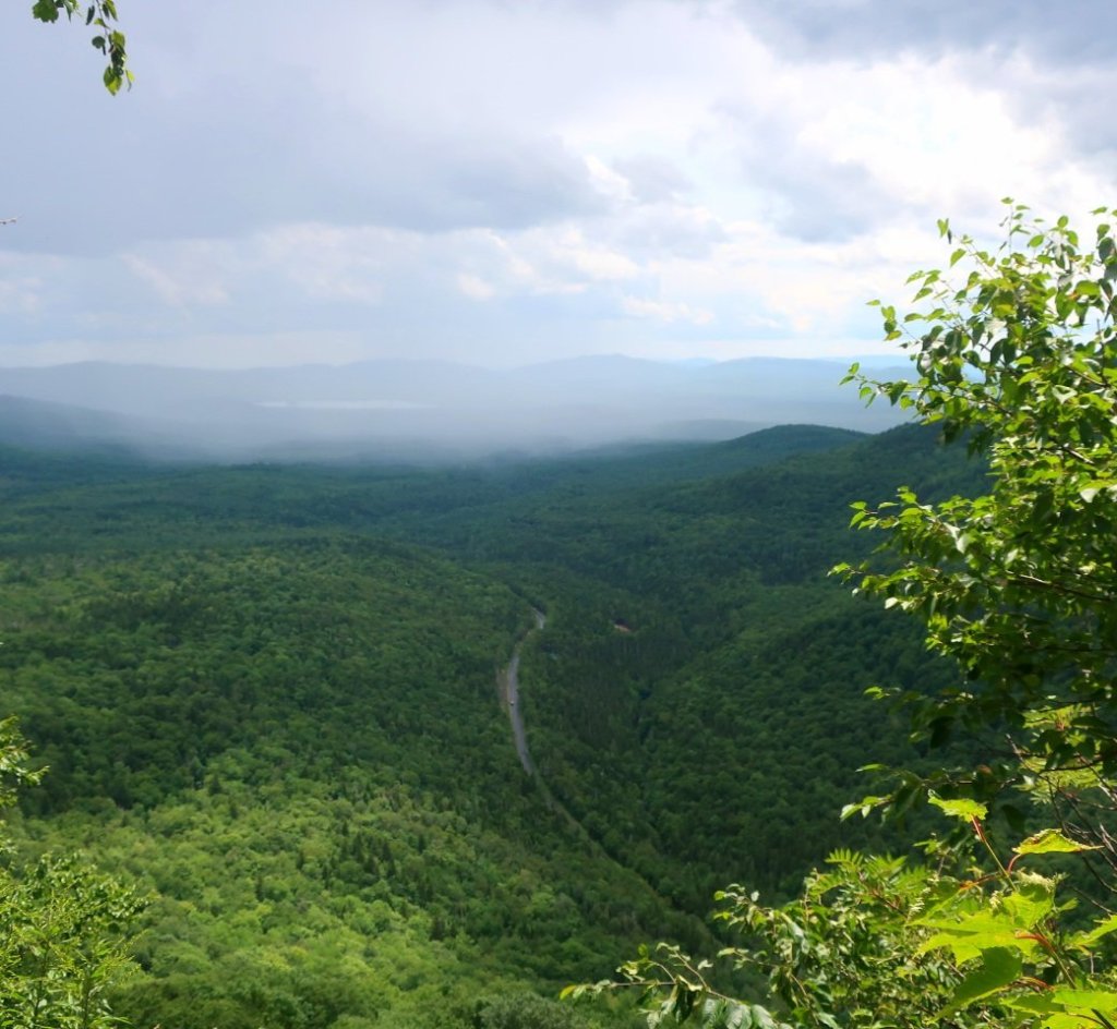
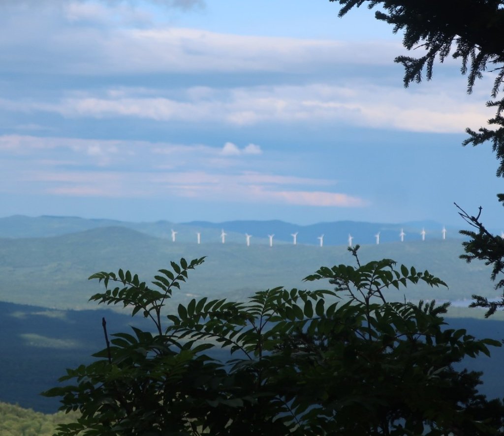
The two plus miles to the summit of Mt Bemis were rewarded with blueberries and a view of Rangely Lake along the way but no views from the summit.
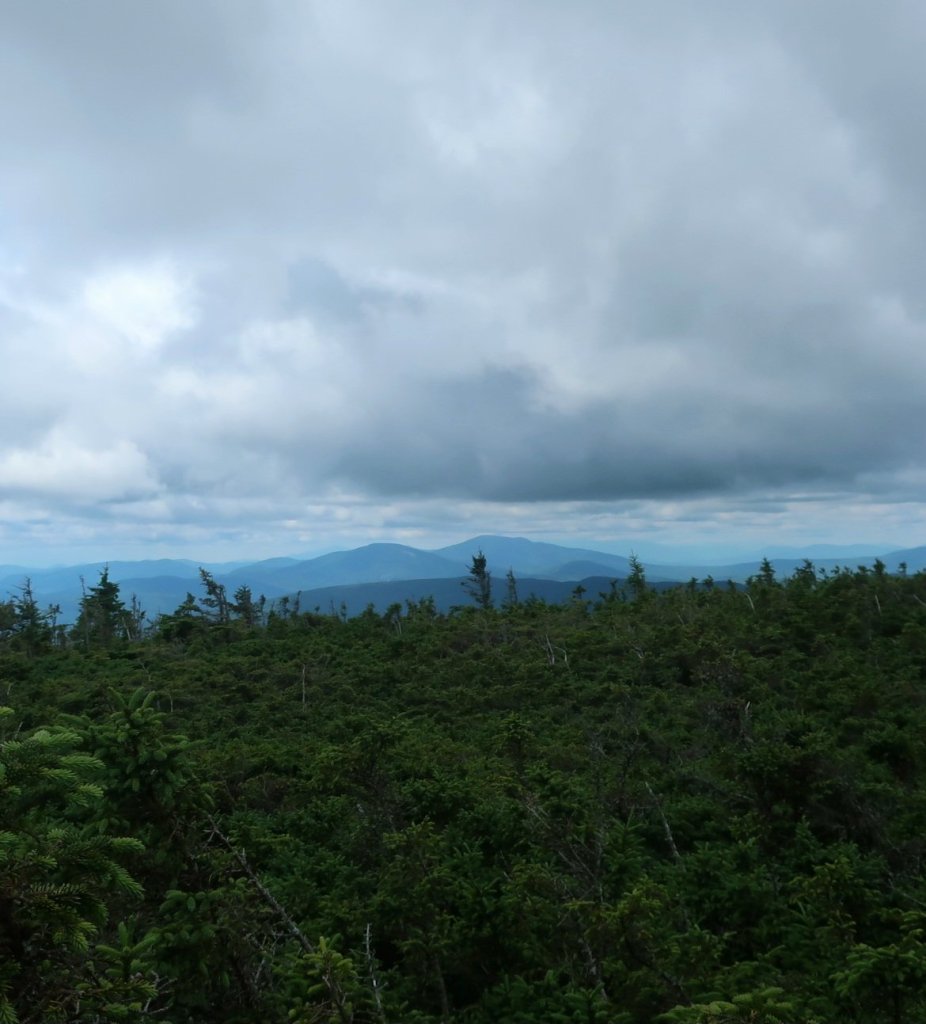
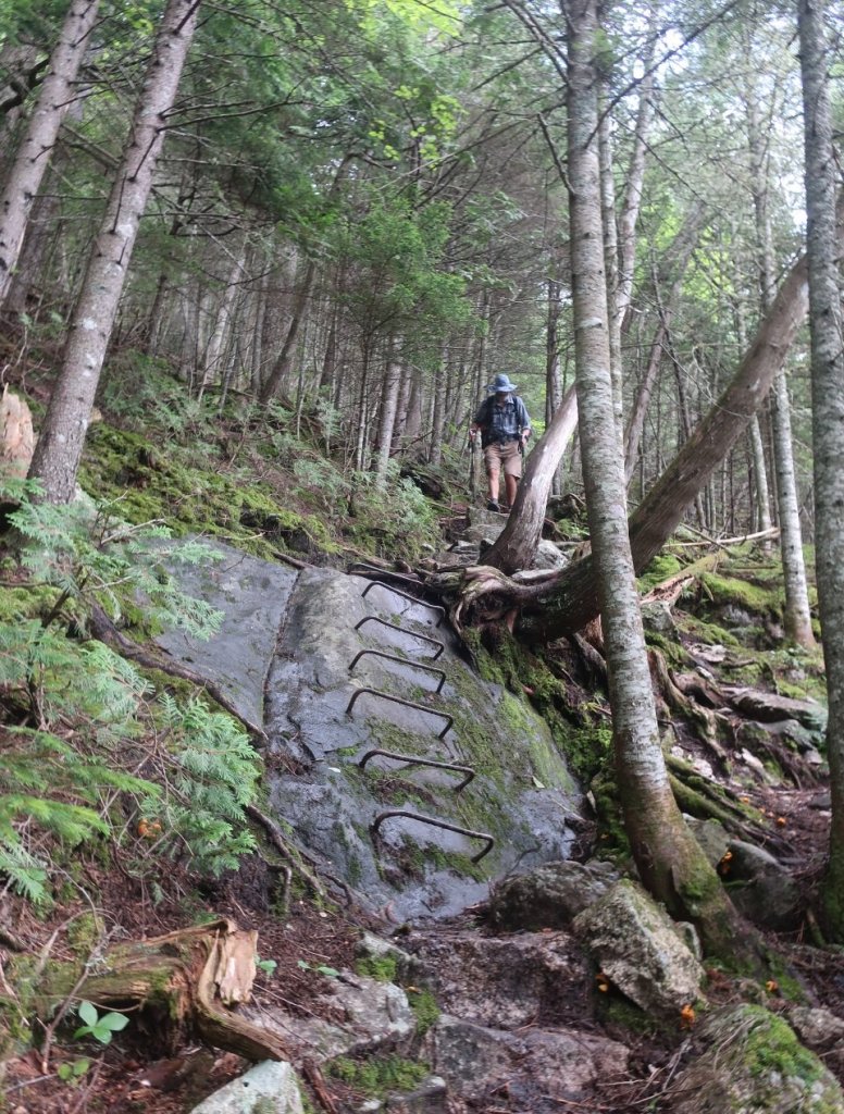
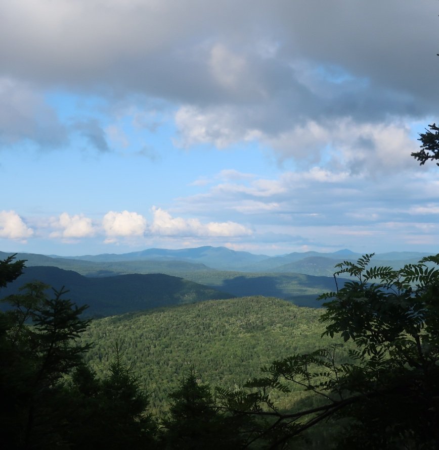
From Bemis Mt to Old Blue Mountain the trail descended through a boggie and dark conditions that were extremely slow going. The ascent up Old Blue Mt was rough and slow going with bouldering along what looked like a creek bed for sections of the trail. There were no views from the summit although it was nice to see the sky.
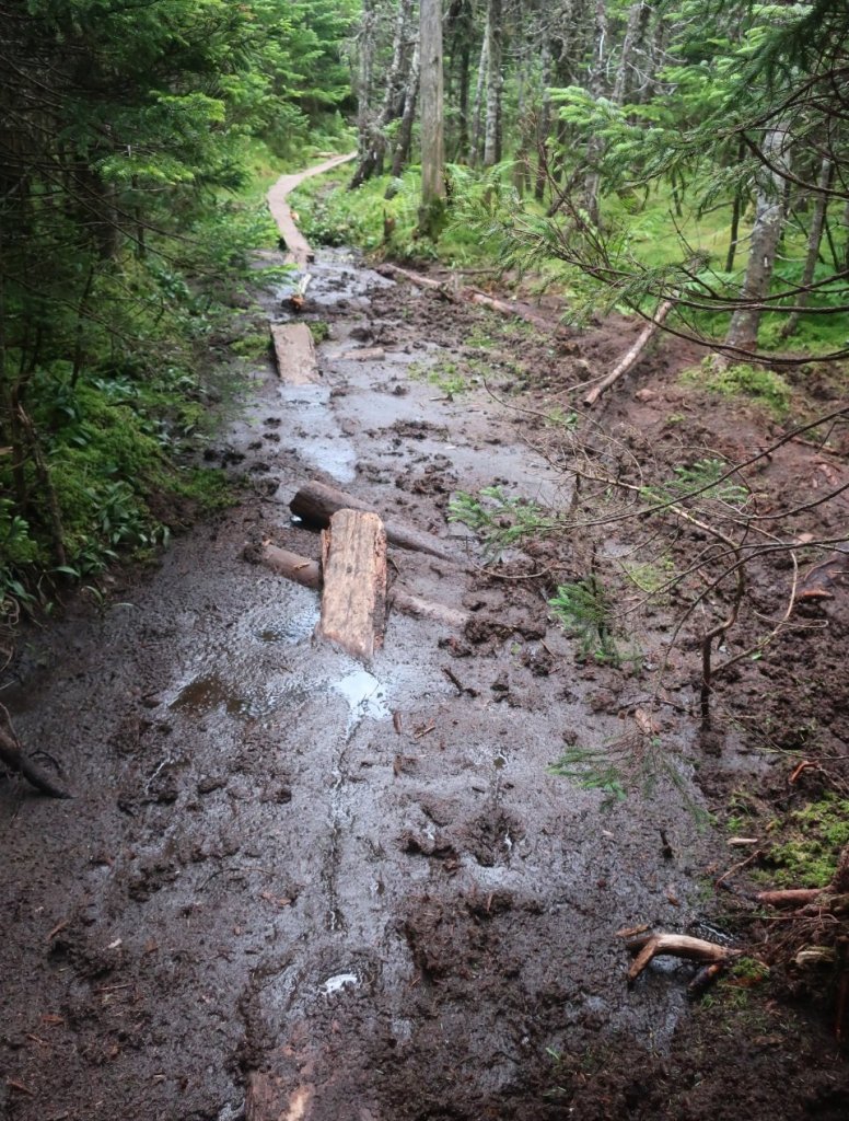
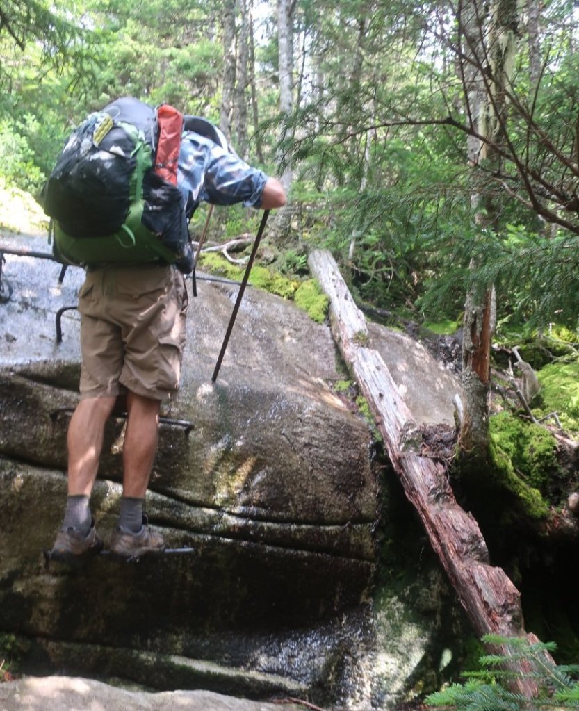
The descent to South Arm Road and South Arm creak was diabolical. It was almost vertical in sections. It would have been so much easier if the trail builders put in some switch backs. But these are far and few between on the AT. The trail going over Old Blue felt pointless.
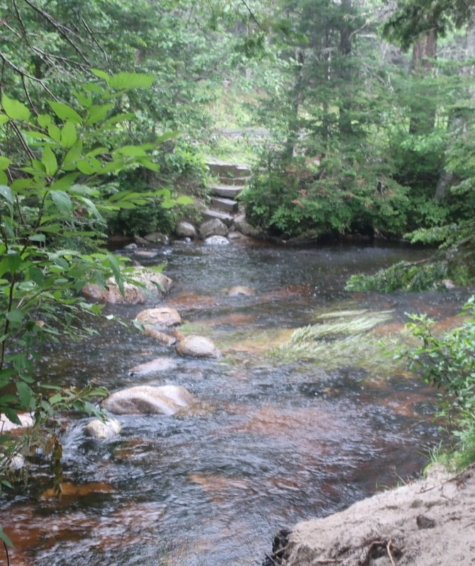
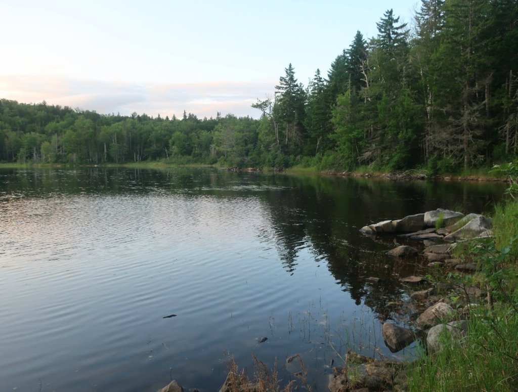
We stopped for lunch by South Arm Creek – and just as we were finishing it started raining, quite heavily. We hoped the predictions was right that it would not last long. As we started back on trail we met a familiar face coming in the opposite direction. It was Slim Pickins whom we last saw in the shelter on that rainy day in Vermont. Despite the rain it cheered us up to share some stories of our last two weeks. Although we did get the sad news that a fellow hiker drowned on a creek crossing in Vermont during the period of heavy rain.
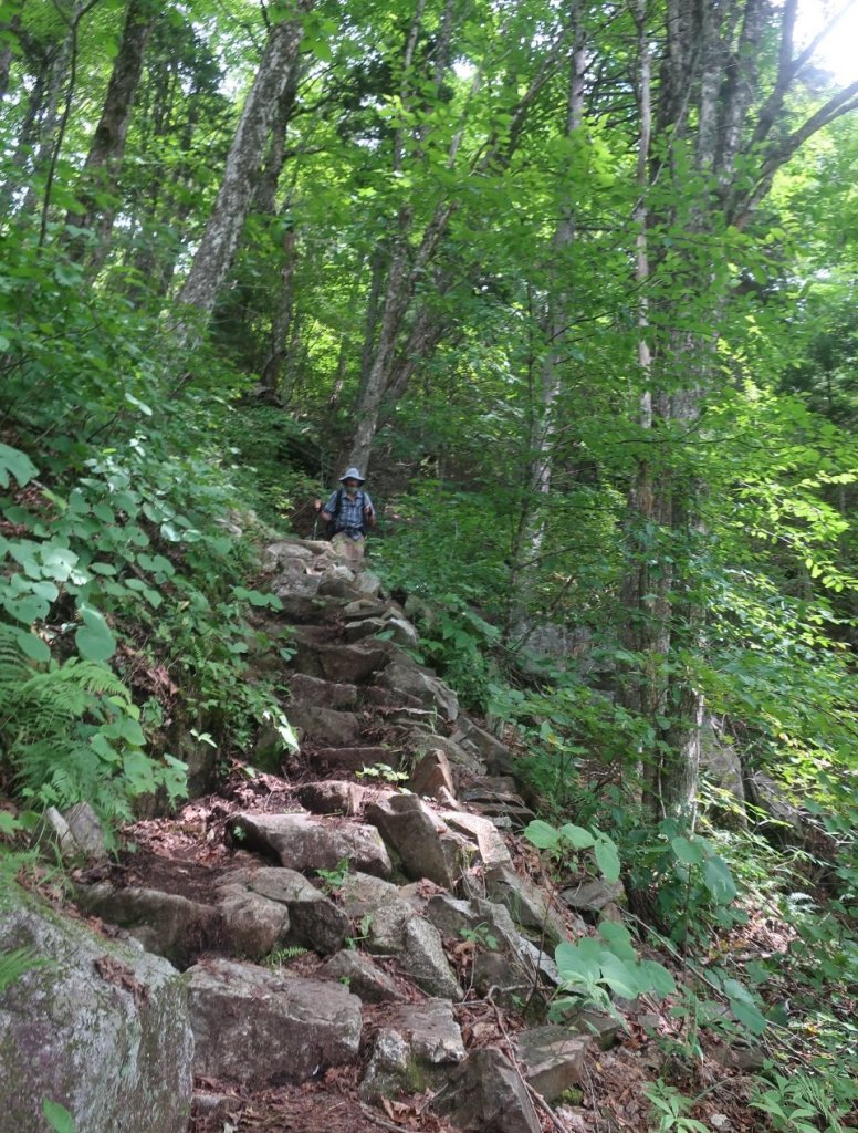
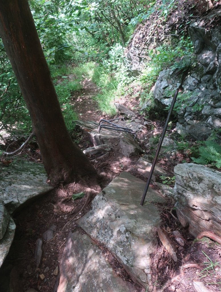
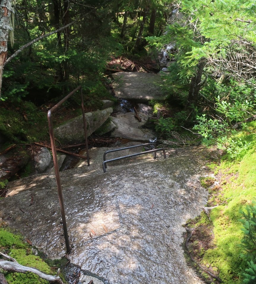
The rain lasted for about 40 minutes, sunshine and a lovely cool breeze followed. Sunshine came and went most of the afternoon. The rain returned briefly. The climb up Moody Mountain was another super steep section of trail, it felt neverending. The descent to Sawyer Notch was not much better. Super steep and slow going especially after the rain with slick and slippery rocks for stairs. Rebar stairs in quite a few sections. And this was followed by a super steep climb up Halls Mountain.
We were exhausted and were really looking forward to just stopping. It was a very long day and the miles covered just don’t reflect how hard the whole day truly was.
never easy to hear of a hiker passing away while on trail ❤
LikeLike
An avoidable tragedy.
LikeLike