MT GREYLOCK
AT Day 093: Sunday July 9, 2023
Mile 1586+ 14.5 miles/22.5 km
Total Distance Hiked: 1600.5 miles/2575 km
Father Tom Campsite, Cheshire – Howard Johnson Inn, Williamstown
A:3432 ft / 1046 m D: 3465 ft / 1057m
We had fireworks and fireflies last night just after hiker midnight. We were surprised how quite the town was after the fireworks.
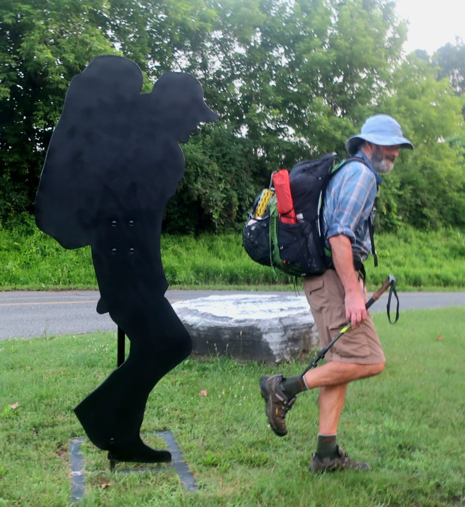
The air was cool and still and the birds were chirping as we walked out of town. The cool of the morning didn’t last very long. Sweaty work started as soon as we left the town streets and started the ascent towards Mount Greylock.

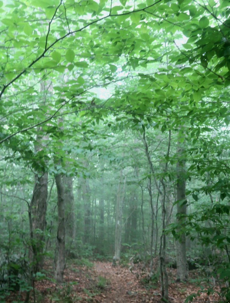
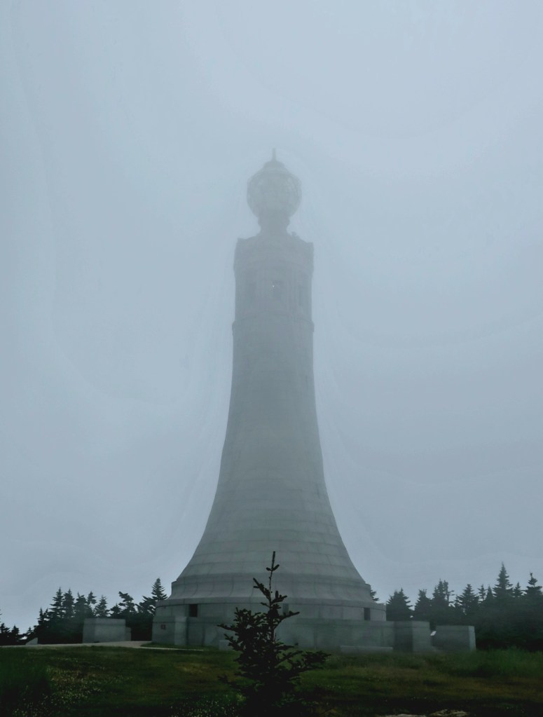
The climb up Mt Greylock was broken up into number of different sections: a steep start then it leveled off a little bit then there was another steep section and then we were up in the fog. The trail again leveled off over Saddle Ball Mountain with a very steep last mile to the summit of Mt Greylock, the highest peak in Massachusetts.
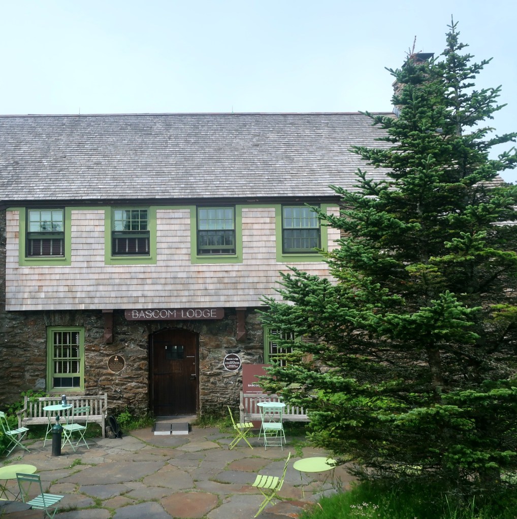
We made the summit just after 10:00 a.m. and we met Slim Pickins who passed us a little bit earlier on the way up the mountain. We stopped for breakfast/lunch at the Lodge and chatted to Slim Pickins and some weekend hikers we had met on the way up.
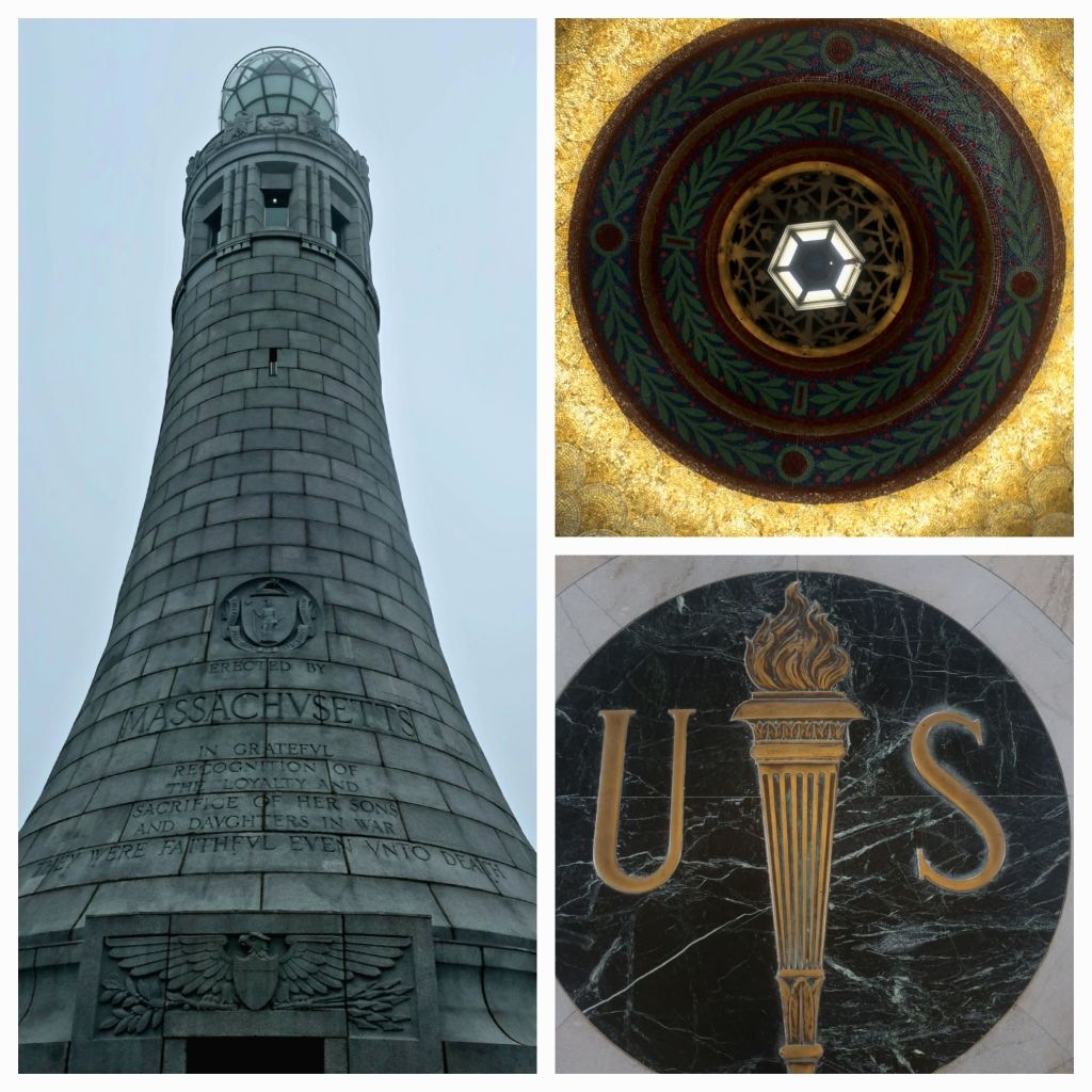
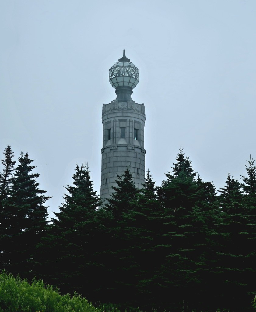
The views were completely socked in although we did get a fantastic view of the lighthouse and the monument to the fallen soldiers inside. Quite moving and the lighthouse is such a beautiful symbol of the eternal flame of remembrance.
We headed off the mountain fairly promptly afterwards because there is a thunderstorm predicted to arrive around 2pm. We were pretty sure we could make it to nearest shelter, halfway down the mountain, before the storm arrived. The descent was a constant steep downhill. Both Hammer and I have started to develop unusual blisters. Mine on the ball of my clumsy left foot and Hammer on the tops of his toes. We stopped several times to tape up the hot spots before they got worse. Not sure why we are having blister problems now.


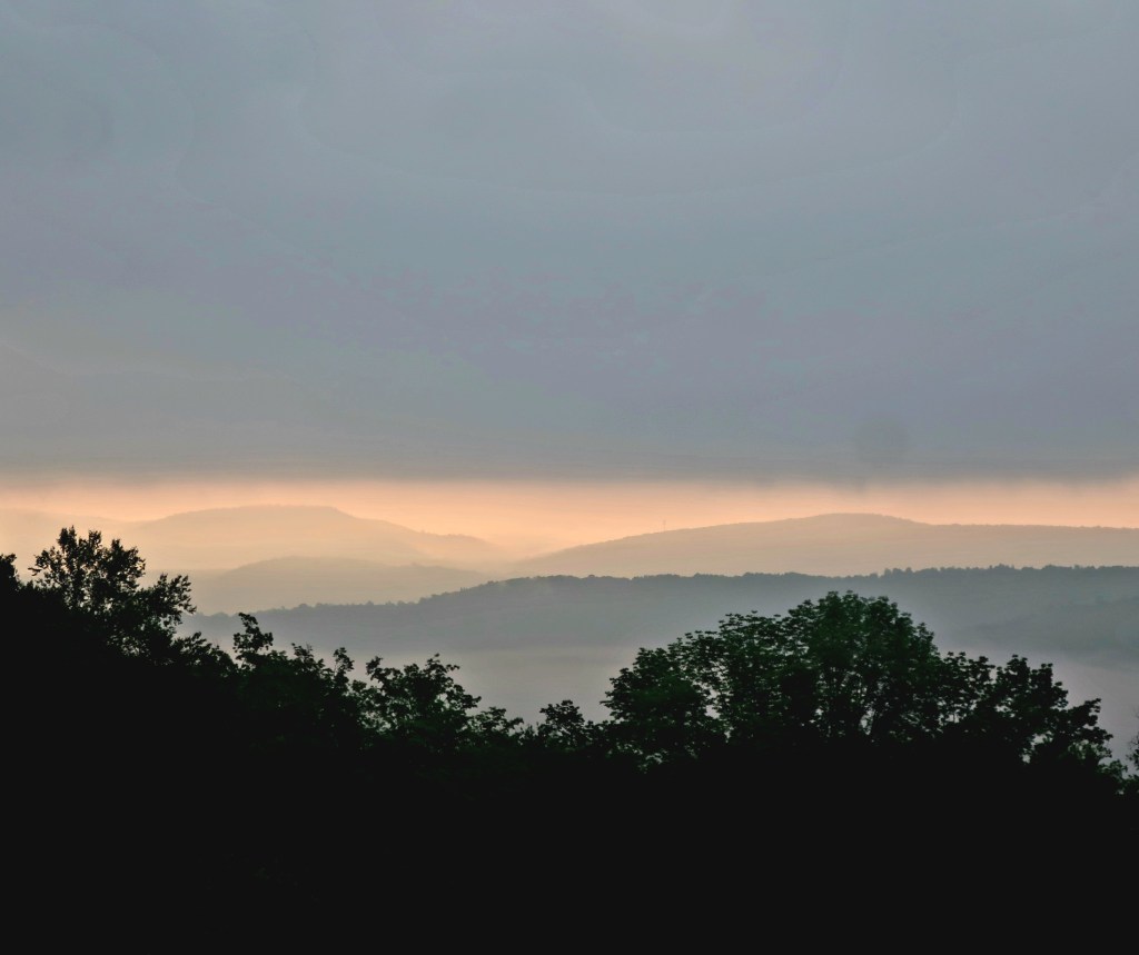
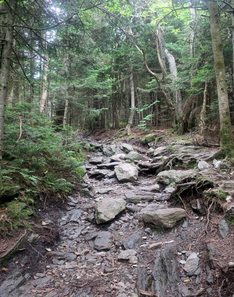
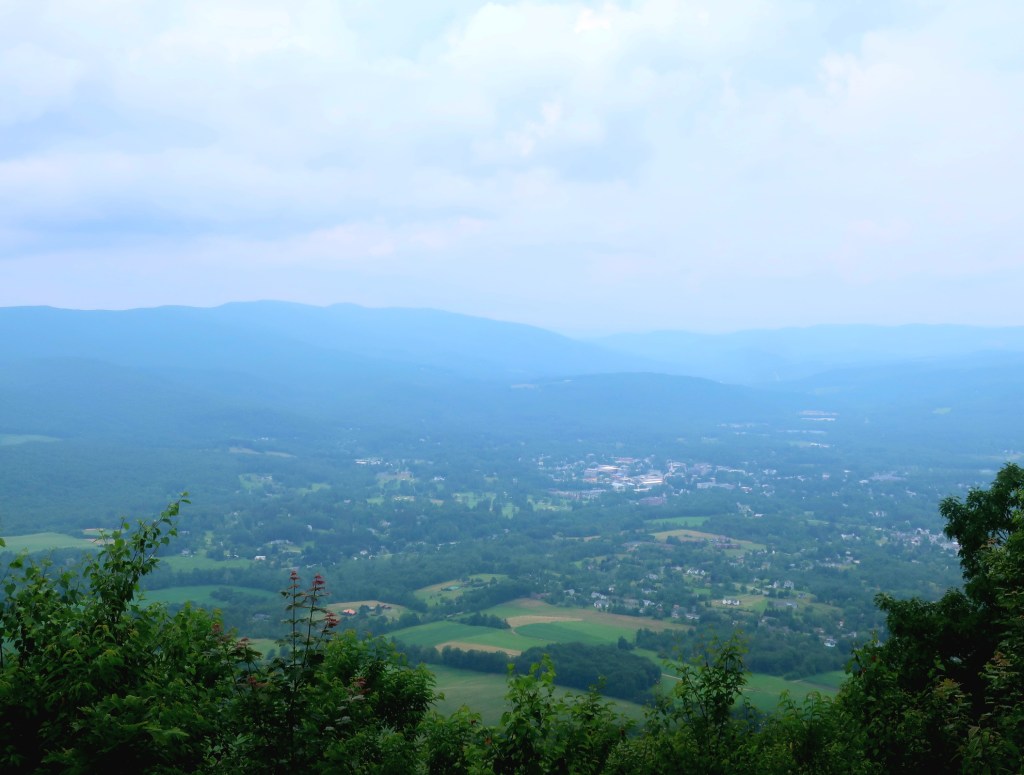
Anyhow we passed the William Clearing Shelter half way down the mountain. It was around 2pm and the rain had not started although we could hear rolling thunder in the distance. We decided to continue to descend off the mountain. We stopped briefly at the Mt Prospect ledges on the way down. This gave us the only distant vistas we had all day. The descent was slow and precarious with wet rocks and lots of tree roots.
We made the Route 2 crossing around 3pm and decided to detour to accomodation in Williamstown before the storm arrived. We have 4 more miles left to hike in Massachusetts. Hope the early finish helps with the blisters.
Dire weather predictions from NOAA. Stay safe
LikeLike
We were a bit under informed I now know in hindsight Monday was a shocker when we left Massachusetts and entered Vermont.
LikeLike
Dear Hammer and Corky,
Stay where you are. An inn, a hostel, somewhere safe.The photos from storms in Vermont are horrific. Hope you can get on the trail again soon.
Paula
LikeLike
We saw your message too late Paula. It was awful on trail but we managed OK Monday. Today we came up to a washed out bridge on a swollen creek and caught up on the news on the devasting floods. We are off trail now to reconsider where to next.
LikeLike
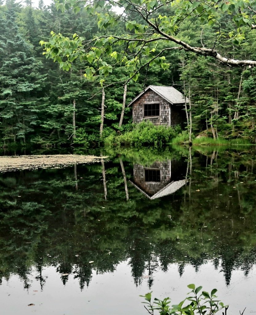
Your photo of the shingle roofed hut and its reflection in the lake reminds me of a similar looking shack on the shoreline at Cradle Mountain.
LikeLike
I thought so too, Dove Lake in Cradle Mt NP .
LikeLike