ROCKY RIDGE
AT Day 067: Tuesday June 13, 2023
Mile 1108 +25 miles /40.2 km
Total Distance Hiked:1133 miles/1823 km
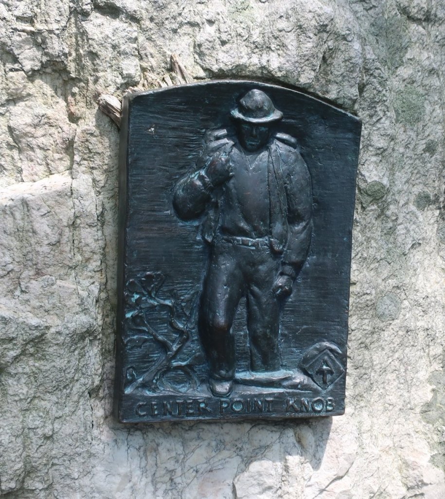
Camp – Route 34 – Green Mountain General Store – Route 94 – Sheet Iron Roof Road – Old Town Road – Rocky Ridge – Whiskey Spring Road – Alec Kennedy Shelter – Center Point Knob – Leidigh Road – Mountain Road – Yellow Britches Creek – Boiling Springs – Route 74 – Lisburn Road – Boyer Road – Route 641 – Ridge Road – Old Stonehouse Road – Appalachian Drive – US Route 11 – Camp
A: 2897 ft /884 m D: 3830ft /1168 m
While it was still raining yesterday evening we were tempted to stay at a hostel near the Pine Grove Furnace Store. But our phones and bodies were recharged and we made a decision to head back on trail.
We were so pleased we did. The rain stopped, the woods were lovely and quite through the night and we woke to a bird melody. The day was off to a pretty good start.
We had a message this morning from our German hiking friend Jeager, whom we first met in Erwin, that he made it to Harpers Ferry. He sent us the ATC official photo, he was grinning from ear to ear and rightly so. Of his starting group of four hikers, he was the only one at the ‘almost’ half way. We congratulated him and wished him all the best. I’m sure we’ll meet him again along the way.
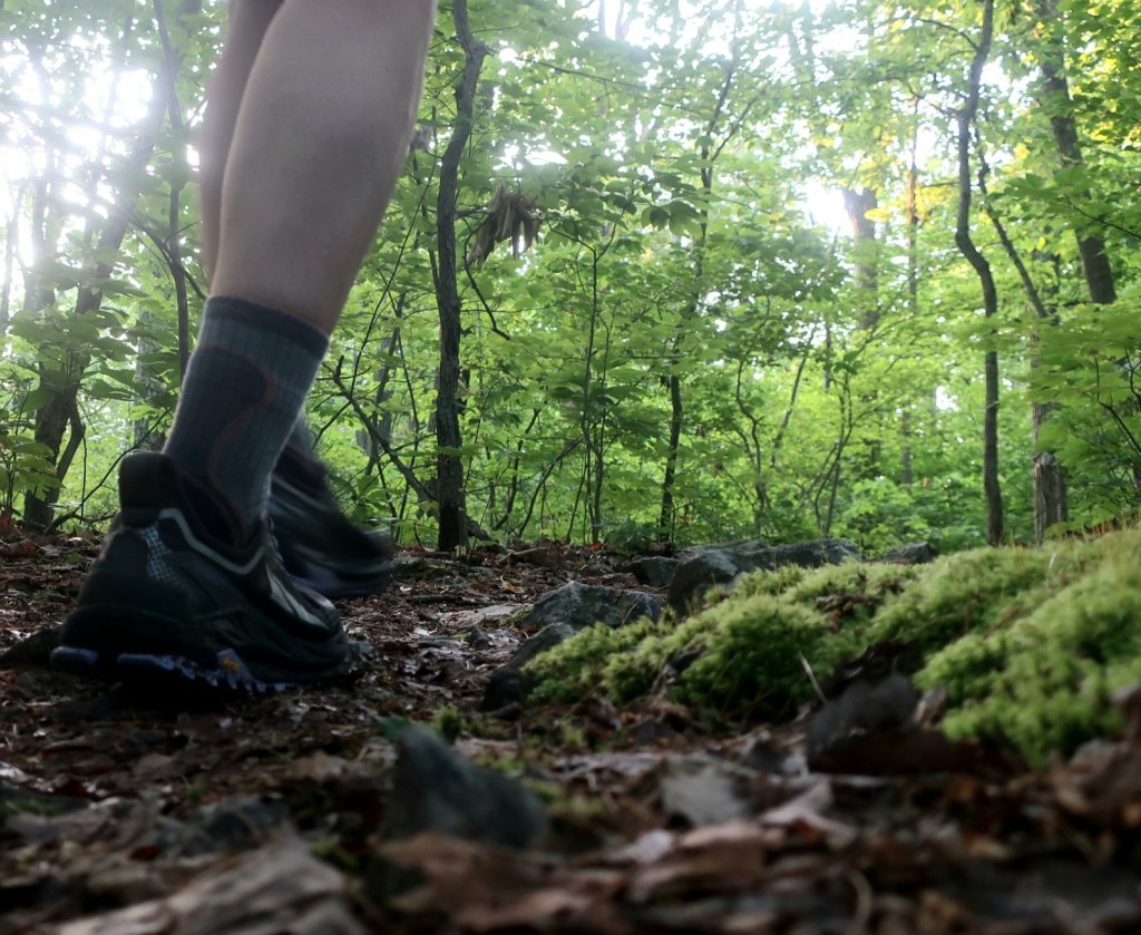
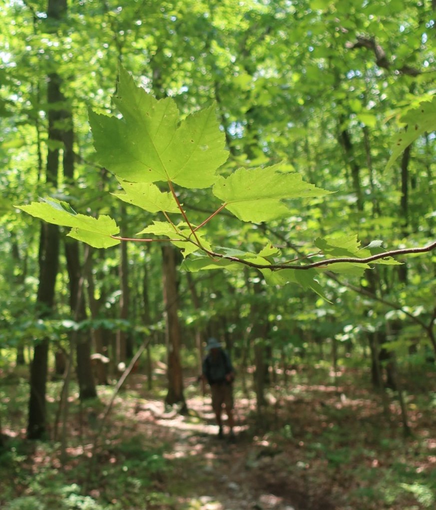
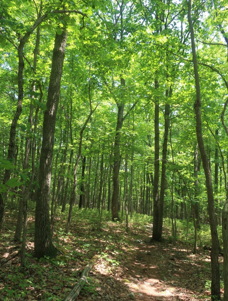
This morning was really quite beautiful the trail was soft underfoot with the wet leaves. The woods felt clean and refreshed by the rain with the sun glistening off the wet leaves. What a difference a day makes.
We had a relatively short hike from our campsite before we reached the Green Mountain General Store where we stopped for breakfast. Hammer was very happy to have a bacon and egg roll and I had a coffee with a Danish pastry. We could get used to this kind of hiking. The store was only 0.2 miles off trail on Route 34 which the trail crosses.
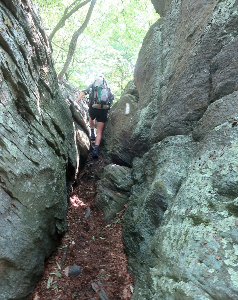
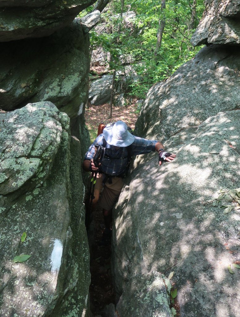
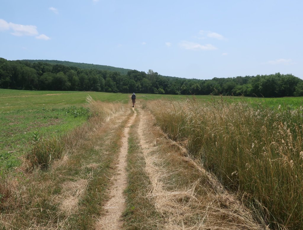
From Route 34 we had a longe ascent broken up into three sections, the toughest being the climb up Rocky Ridge. It was all interspersed by easy ‘walk in the park’ type of trail. We soon found out how Rocky Ridge got its name. The trail meanders through a huge rocky outcrop with eroded crevices, which the trail wound around. Unfortunately the trail makers have defaced quite a few rocks with arrows and other markings to place the path through the rocky top.

I was relieved to descend off the rocky maze. A lovely cool breeze was whistling through the tops of the trees. It was quite a pleasant morning.
We crossed Whiskey Spring Road and the climb up another rocky ridge continued. It was slow going but the lovely cool breeze made it really quite pleasant. And the rocks were a bit of a break in just hiking through the woods.
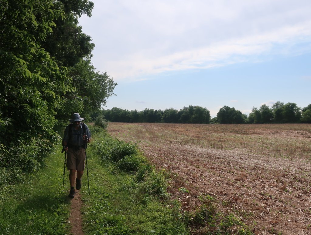
We came off Rocky Ridge and had a lovely forest walk towards Alec Kennedy shelter. The sound of the wind whistling through the trees and birds chirping away was competing with the sound of a diesel train engine somewhere off in the distance. That was our background music for much of the hike into Boiling Springs. The trail profile was tougher to hike then the map profile suggested. It was nice to descent to a series of meadows which led to Boiling Springs.

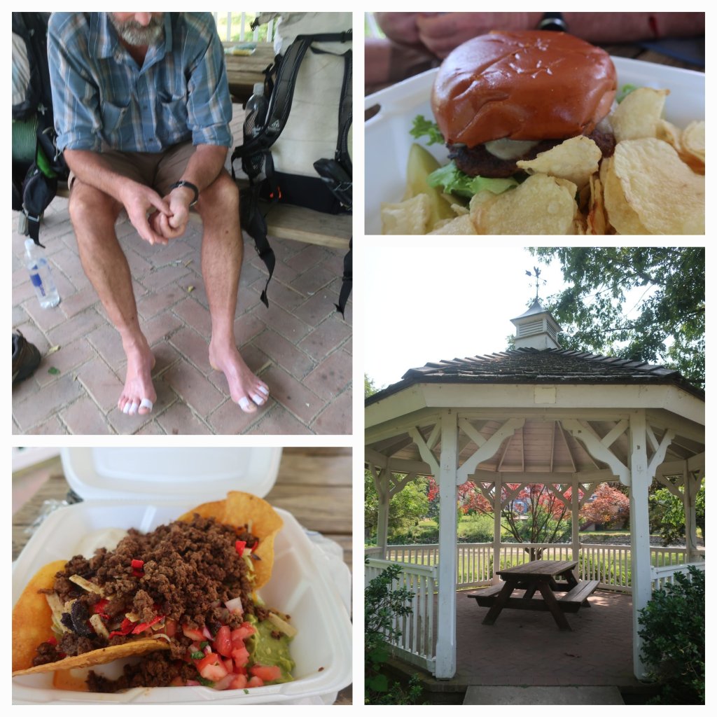
We made it to Boiling Springs around 2.30. It looked like a really cute town with a picturesque river flowing through it. Hammers feet were sore as he was hiking in socks that we’re still wet from yesterday’s rain. So he stayed in the park by the river with our packs and I walked into town to get our lunch, a burger for Hammer and a beef nachos salad for me. It was nice to sit in the park with our shoes off enjoying town food. It was so tempting to call it a day here but we had made a decision this morning that we could make it to Duncannon tomorrow, so we booked a room for Wednesday night in addition to Thursday night which was our originally planned arrival day in Duncannon. So we left Boiling Springs around 4pm.
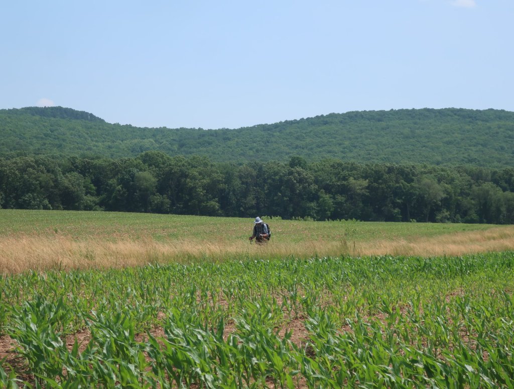
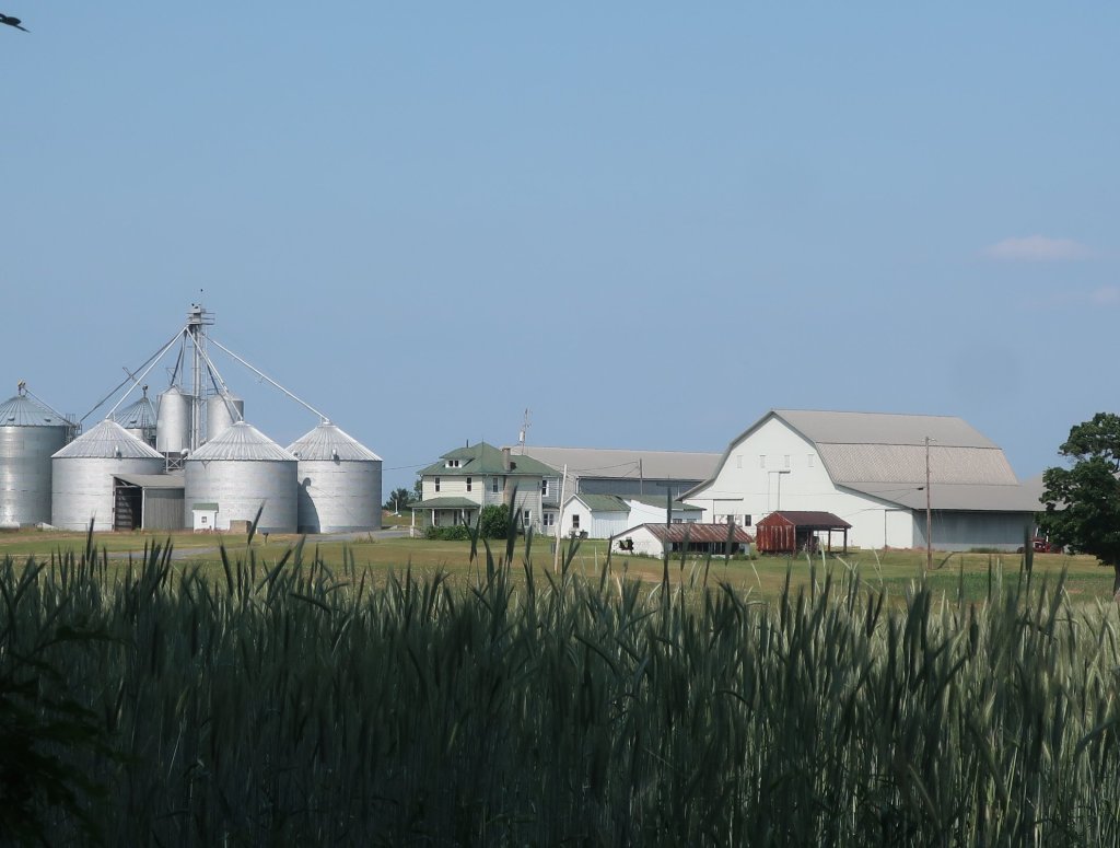
From Boiling Springs the trail was flat and we were out of the woods passing through the agricultural Cumberland Valley. The narrow ribbon of green space that contained the trail was largely disturbed vegetation bordening agricultural fields. We passed through field after field of wheat crossing multiple roads including the very busy Interstate 76. It was getting late and Hammers feet were really hurting. We were not going to make it to the shelter which was still miles away.
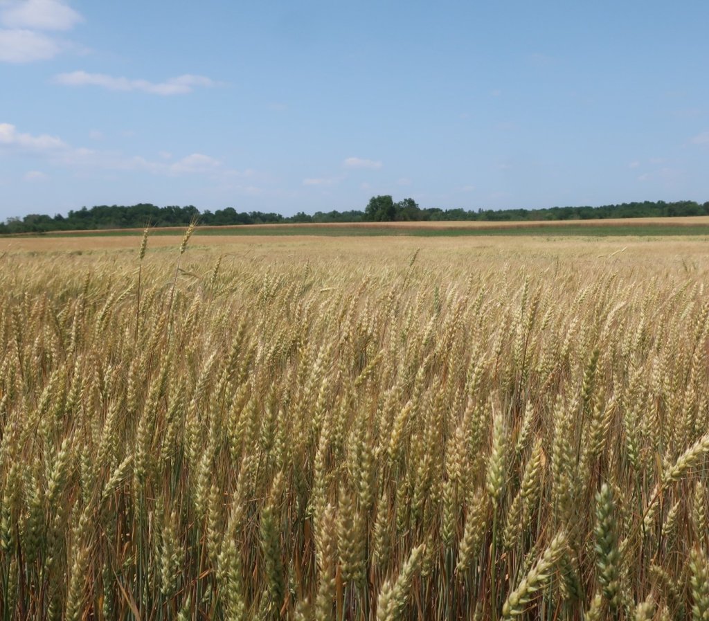
We stopped in a grassy spot between two wheat fields near Interstate 81. The chirping birds above us are competing with the sound of zooming traffic as it started to get dark. Less then ideal but it will have to do.
Sorry to read about Hammer’s feet. I hope he/they are feeling better after your two-day rest.
LikeLike
He is taping them up as I type this. Big climb out of Duncannon, fingers crossed.
LikeLike
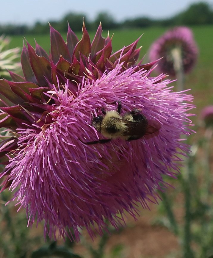
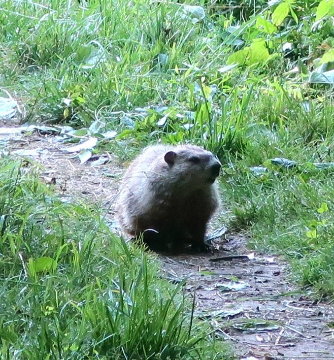
So quick off the mark to capture the creatures of the wild. Well done. Not very pleasant walking in wet socks and damaging the feet. Fingers crossed the rain stays away for a good week.
LikeLike
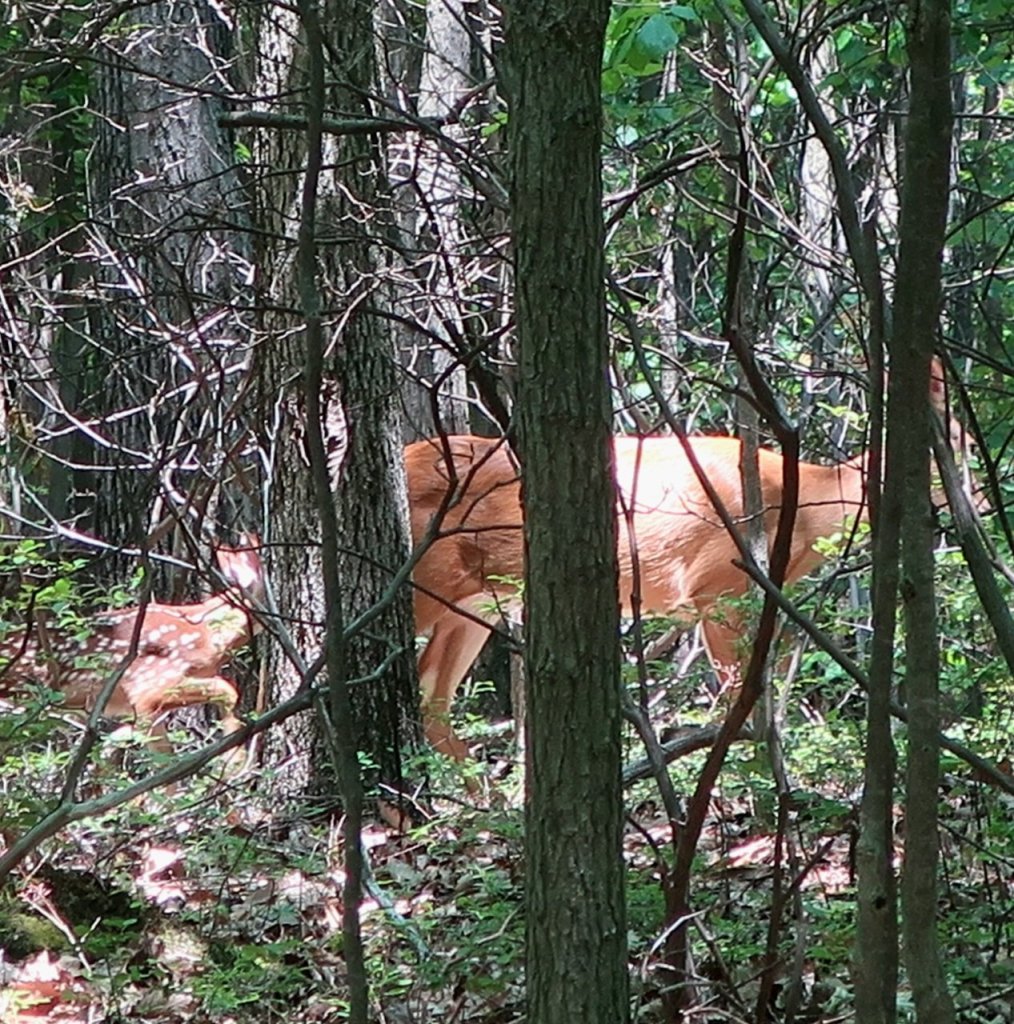
I’m sure we’ve walked past bears we’ve not noticed Kay. So busy keeping our eyes on the ground. The rain unfortunately us with us for a few weeks.
LikeLike