BLUE RIDGE PARKWAY
AT Day 047: Wedesday May 24, 2023
Mile 730.5 + 14 miles /22.5 km
Total Distance Hiked: 744.5 miles /1198 km
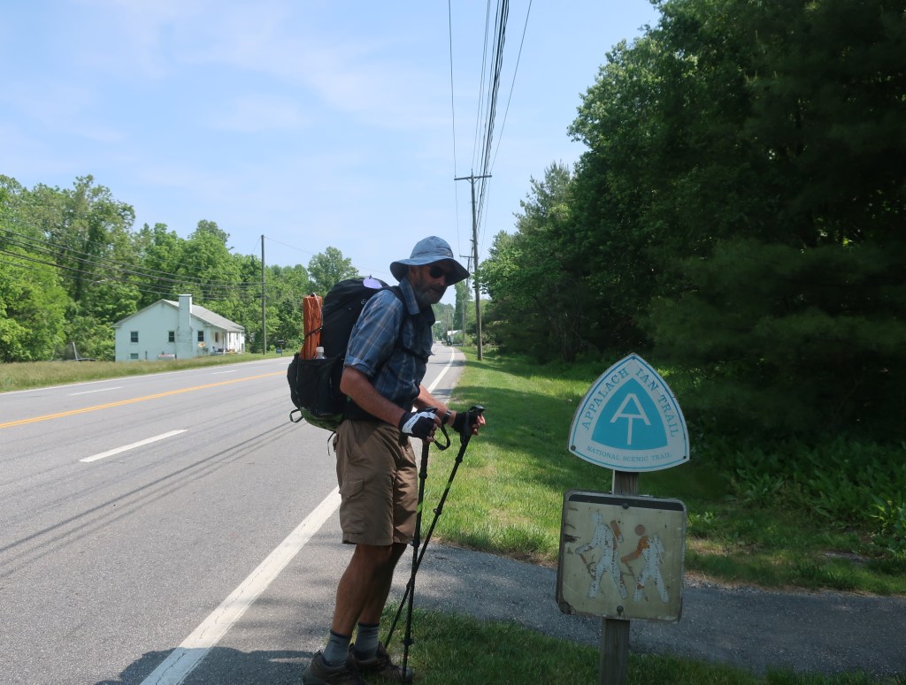
Daleville – US Route 81 – US Route 11 – VA Route 652 – Fullhardt Knob Shelter – Woods Road – Salt Pond Road – Curry Creek – Wilson Creek – Wilson Creek Shelter – Black Horse Gap – Camp
A: 3820 ft /1165 m D:2533 ft /773 m
It was such a good decision to stay in the hotel room for as long as possible this morning. We caught up on all the emails, social media and the journal. And we just continued to graze on some town food. When I was having my second luxury shower it occurred to me that we’re almost like grazing cattle left out to pasture to fatten up. Just getting our fill before we are put back out there to work.
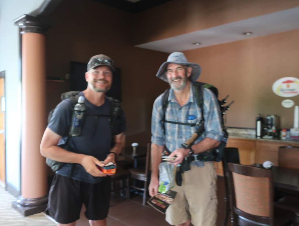
We left the motel around 11:00 am. The packs were full and heaving them over our shoulders we stepped out to the lobby. A couple of hikers were just checking in for the day including one we recognised, Hollywood – whom we last saw on the dismal rainy night at the Dismal Creek campsite. It was nice to catch up briefly and wish him well on his journey and hope we’ll meet up again somewhere along the way.
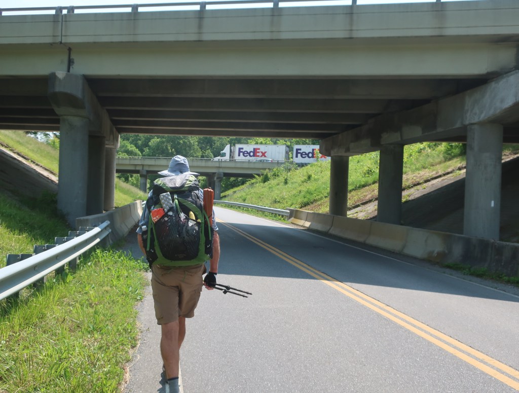
The trail leaves town following the highway and at one point we had to cross under the highway on a busy underpass which was a bit sketchy because there was no shoulder and the road was busy with fast moving traffic. Probably the scariest crossing because of the speed of the cars. From there we continued through a pasture before starting the ascent up towards Fullhardt Knob.
We hiked for a short while with a hiker from Ohio with trail name ‘Mountain Goat’. Carrying a small ultralight backpack he said he was aiming to complete the AT in under 100 days. This is his triple crown hike. So far he was on target. We wished him well and he quickly disappeared ahead.
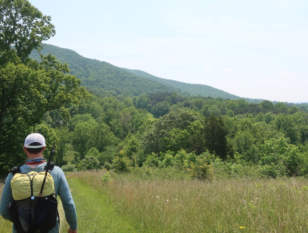
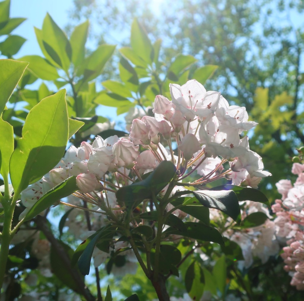
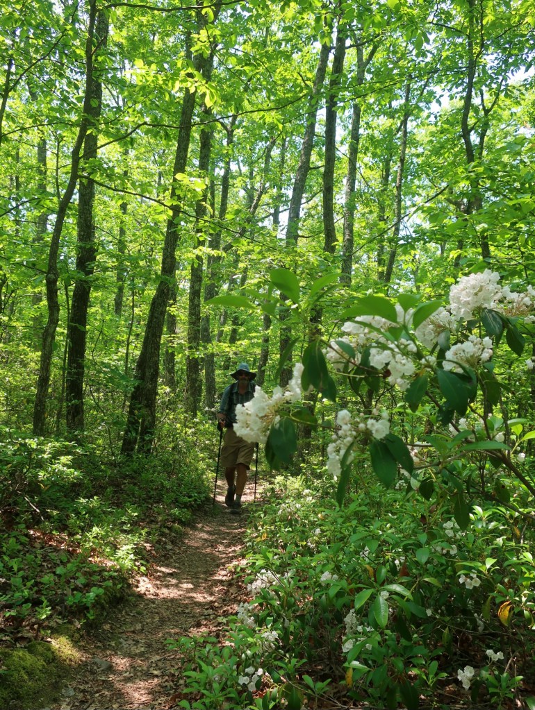
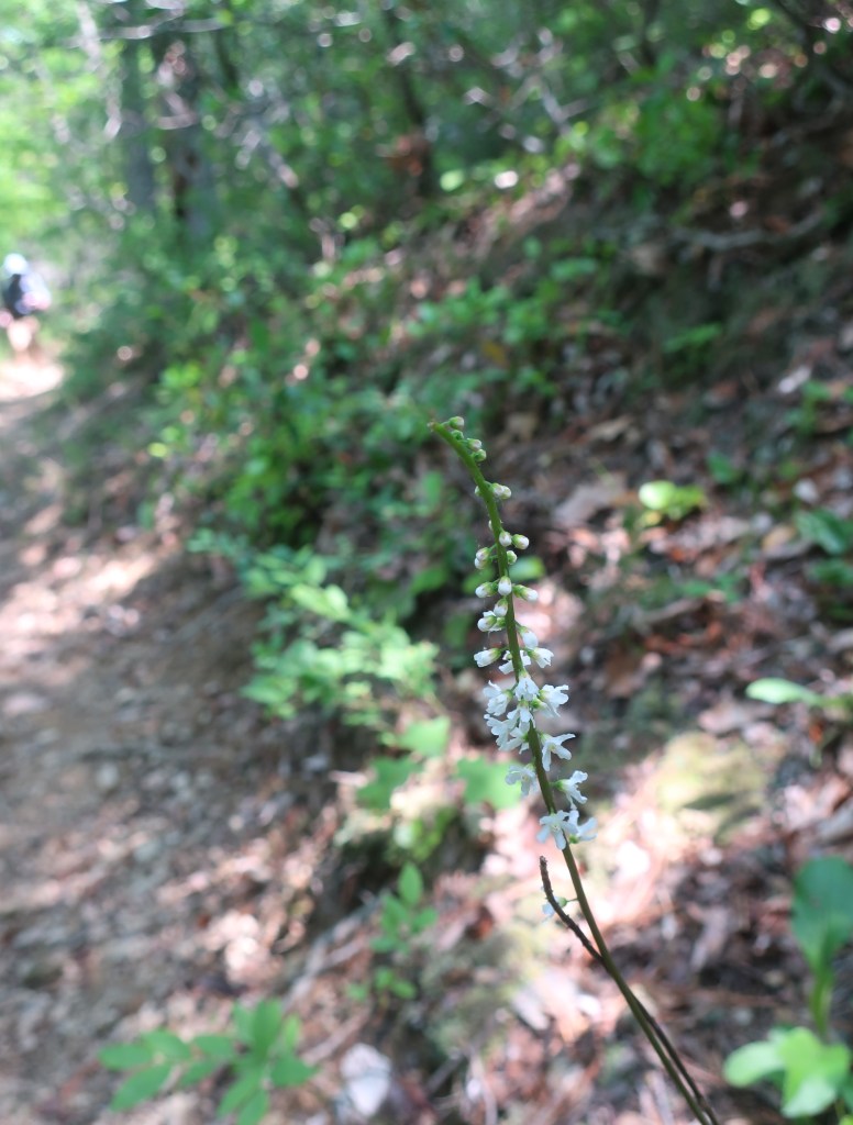
We were feeling refreshed and hiking felt easy, especially as we got close to the top of the Knob. There was a lovely cool breeze blowing, quite nice terrain, lots of trailside vegetation in bloom, just beautiful hiking. The Mountain Laurel lining the trail seems to be almost at the end of their flowering cycle. It seems only a short time ago I saw my first plant in early bloom in the approach to Erwin.

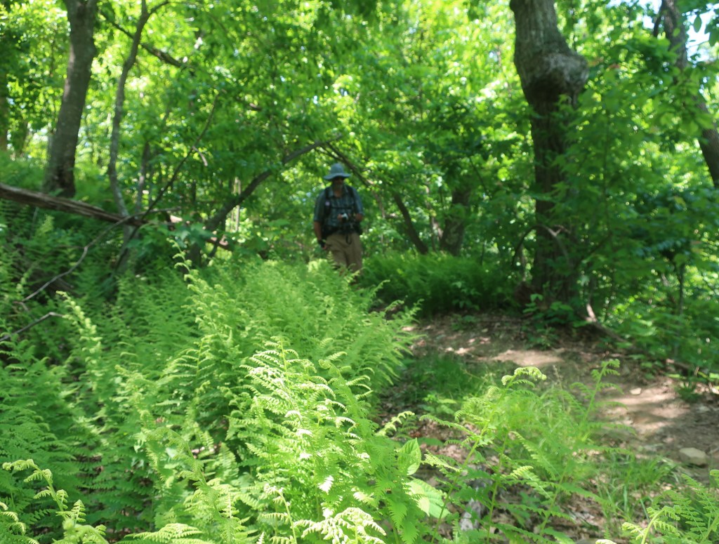
We were soon descending on a narrow single file trail towards Curry Creek. One shallow pool of the creek had lots of fingerlings. I wonder what would happen to them if the creek dried up. The ascent from Curry Creek was so much steeper than the descent. We got to the top and then immediately descended steeply to another creek then up and then down again to another creek before emerging onto a ridge. The trail just dropped over the ridge and back down towards yet another creek – Wilson Creek. Talk about a roller coaster.
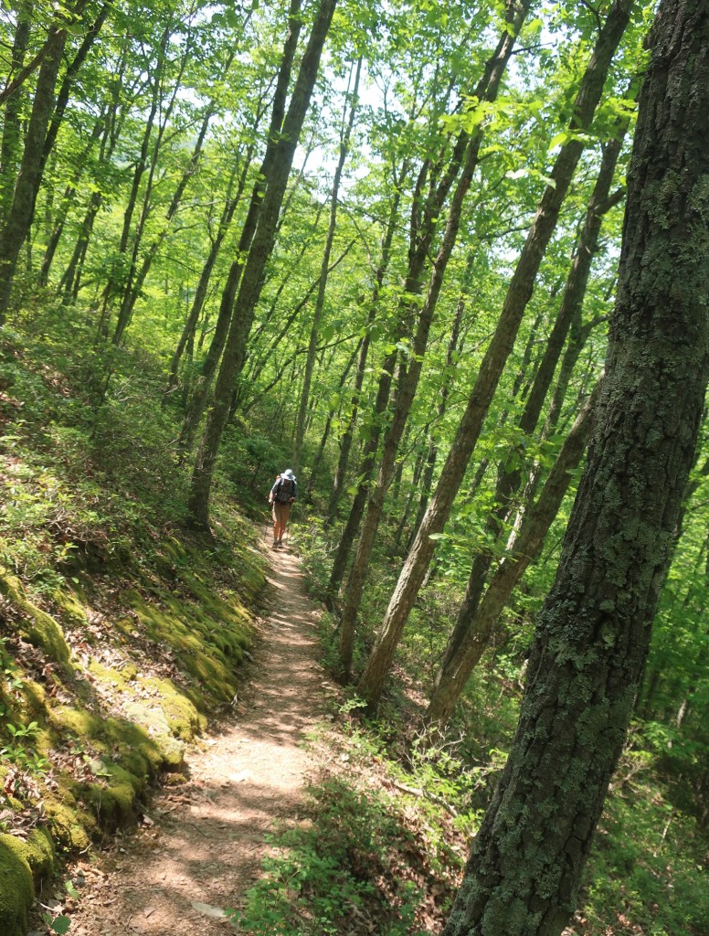
Over the next couple of miles the trail was slowly getting closer to the Blue Ridge Parkway. We had not see another hiker since Mountain Goat who left town with us. We got to Black Horse Gap and were so surprised to the see the Blue Ridge Parkway is literally alongside the AT here. A southbound hiker we met here told us that there were a few groups of hikers ahead of us and not many trailside campsites apart from the shelter. So we decided to stop for the day at the first suitable looking camp spot that was out of eye view of the Parkway.
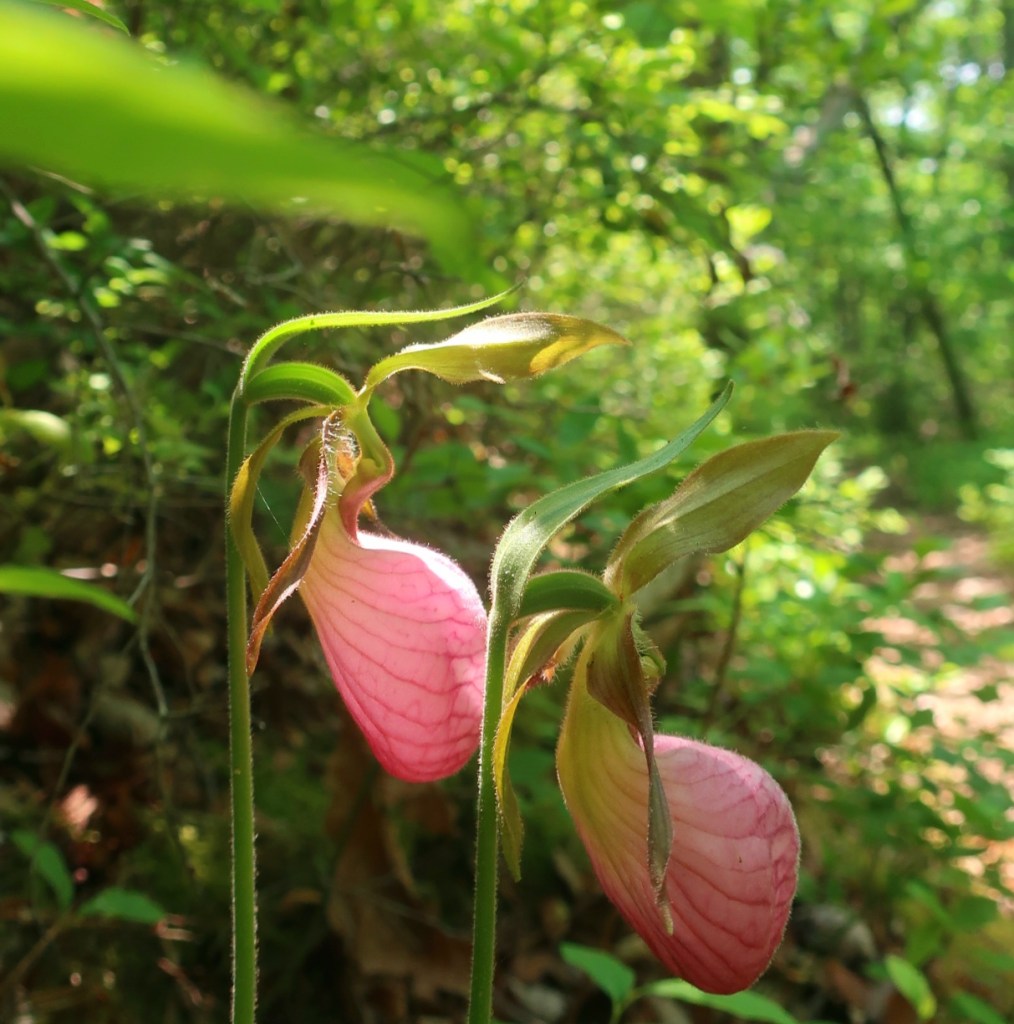
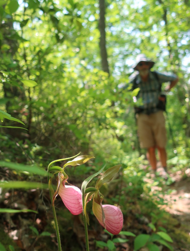
The Lady’s Slippers are still blooming!
LikeLike
I think we have seen the end of the Pink Ladys. The last sighting were seedy looking specimens.
LikeLike